

🇫🇷 Blank Map of France
🇫🇷 Blank Map of France
No se pudo cargar la disponibilidad de retiro
Agrega varios mapas al carrito para descargarlos todos a la vez.
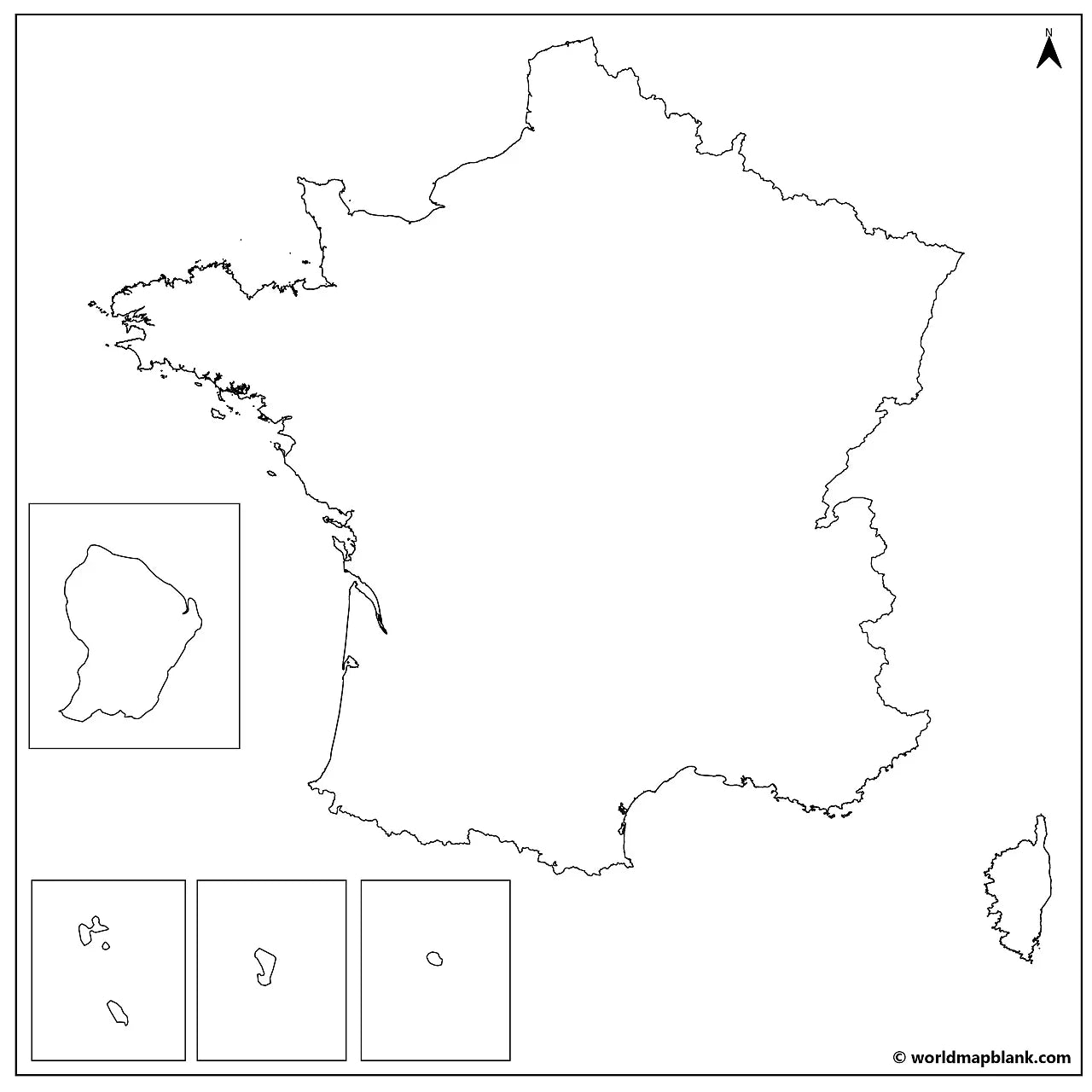
The blank map of France is a printable political map that draws the borders of all 18 regions, in black and white with no names on them, sized for A4 and printing on US Letter. Download it free as a PDF or a JPEG, either as the blank version with region borders or as a plain France outline map with the country outline only.
Because the map is unlabeled, it works as a base for practice: students fill in the regions, their capitals, the rivers and the mountain ranges themselves, and teachers use the same sheet for map quizzes, homework and school projects. It pairs well with our France map worksheets, and with the printable map of France with regions when you need the names for reference.
For the wider region, use the blank map of Europe, or browse the other blank country maps.
The image below shows the printable blank map of France with region borders and capital city markers.

France Blank Map Bundle and More
The blank map and the outline map are free. The bundle adds more versions of the same map:
- Blank map of France with regions
- France outline map
- Blank map of France with region capitals
- Blank France map with cities
- France outline map with seas and neighboring countries
- France labeled map for reference
The bundle includes PDF and JPEG versions of all maps.
The two free downloads are the blank map, which draws the borders between the regions, and the outline map, which has the country outline only. The capital and city markers are part of the bundle: dots placed on the map without any names, so the sheet still works as an exercise rather than an answer key.
The 18 Regions of France and Their Capitals
France is divided into 18 regions: 13 in metropolitan France and 5 overseas, and their capitals run from Lille in the north to Marseille on the Mediterranean and Cayenne in South America.
| Metropolitan region | Capital |
|---|---|
| Auvergne-Rhône-Alpes | Lyon |
| Bourgogne-Franche-Comté | Dijon |
| Brittany | Rennes |
| Centre-Val de Loire | Orléans |
| Corsica | Ajaccio |
| Grand Est | Strasbourg |
| Hauts-de-France | Lille |
| Île-de-France | Paris |
| Normandy | Rouen |
| Nouvelle-Aquitaine | Bordeaux |
| Occitanie | Toulouse |
| Pays de la Loire | Nantes |
| Provence-Alpes-Côte d'Azur | Marseille |
| Overseas region | Capital |
|---|---|
| French Guiana | Cayenne |
| Guadeloupe | Basse-Terre |
| Martinique | Fort-de-France |
| Mayotte | Mamoudzou |
| Réunion | Saint-Denis |
Two of these are less tidy than the list suggests. Corsica has had a special status since 2018, a single territorial collectivity rather than an ordinary region, yet it is still counted among the 13 in metropolitan France. And Mayotte's seat of government moved from Dzaoudzi to Mamoudzou, which is why older maps mark the smaller town.
The five overseas regions sit far from Europe, so they appear on the map as separate inset boxes rather than in place: French Guiana on the north coast of South America, Guadeloupe and Martinique in the Caribbean, Réunion and Mayotte in the Indian Ocean.
Show the cities marked on the bundle's city map (click to reveal)
Agen, Ajaccio, Auxerre, Basse-Terre, Bastia, Béziers, Bordeaux, Bourges, Brest, Brive, Cayenne, Calais, Cherbourg, Dieppe, Dijon, Dzaoudzi, Fort-de-France, Grenoble, La Rochelle, Le Havre, Le Mans, Lille, Lorient, Lyon, Marseille, Mulhouse, Nantes, Nevers, Nice, Nîmes, Orléans, Paris, Rennes, Rouen, Saint-Denis, Saint-Étienne, Strasbourg, Toulon, Toulouse, Tours, Troyes, Versailles, and Vichy.
These are dots on the map, not names, so the city version still works as an exercise.
About France's Regions and Geography
Metropolitan France covers about 551,700 square kilometres, which makes it the largest country in the European Union, and the total rises to roughly 643,800 once the overseas regions are counted. Around 68 million people live there. Mont Blanc reaches 4,806 metres on the Italian border, the highest summit in the Alps, while the Pyrenees form the wall towards Spain and Andorra and the Massif Central fills much of the middle of the country. The Loire is the longest river at about 1,006 kilometres, ahead of the Seine, the Rhône and the Garonne, and the coastline touches three very different waters: the English Channel in the north, the Atlantic and the Bay of Biscay in the west, and the Mediterranean in the south. France shares land borders with eight countries in Europe: Belgium, Luxembourg, Germany, Switzerland, Italy, Monaco, Spain and Andorra. Its longest land border, though, is with Brazil, because French Guiana is a French region on the South American mainland. Those are the features students are usually asked to place, which is why an unlabeled base map is more useful for practice than a finished one.
Blank Map of France Features
- Free blank and outline versions in high-resolution PDF and JPEG
- Sized for A4 and prints on US Letter without cropping
- Black and white line work that prints cleanly on a home or school printer
- Region borders on the blank version, country outline only on the outline version
- Bundle versions with capital and city markers and with the seas and neighboring countries
- Suitable for geography lessons, map quizzes, homeschooling, revision and school projects
Frequently Asked Questions
Answers to the questions people ask most about the free blank map of France.
How many regions does France have?
France has 18 regions: 13 in metropolitan France, including Corsica, and 5 overseas regions, which are French Guiana, Guadeloupe, Martinique, Mayotte and Réunion. The regional map was redrawn in 2016, when 22 metropolitan regions were merged into 13.
Does the map show the French departments?
No. The blank map draws the boundaries of the 18 regions, not the 101 departments. The regions are the larger unit, so each one contains several departments, and the region outlines are what most school exercises ask for.
What is the difference between the blank map and the outline map?
The blank map is a political map: it draws every border between the French regions but names none of them. The outline map has no internal borders at all, just the outline of the country, which is the version people use for tracing and for drawing in their own features.
Can I print the map of France in A4 size?
Yes, every file is sized for A4 and prints on US Letter without cropping. The PDF keeps its line quality when enlarged, so the same download also works for a poster-size print or a classroom wall chart.
Is the blank map of France free to download?
Yes, the blank map and the outline map are free in PDF and JPEG, with no sign-up. The bundle with the capital markers, the city markers and the seas version is a small one-off price.
How to Get Your Printable Map
- Choose the version you want above.
- Click "Download now" for a free map, or add the bundle to your cart and check out.
- Get your files instantly, then print or annotate them.
Who It's For
Students revising for map tests, teachers building classroom materials and quizzes, homeschooling parents, and anyone who needs a clean base map of France for a project.
Download your blank map of France now and use it for learning, geography practice, or your own map projects.


Descarga tu mapa gratis
Introduce tu correo electrónico y cuéntanos cómo vas a utilizar el mapa. La descarga comenzará de inmediato.