

🇦🇺 Blank Map of Australia
🇦🇺 Blank Map of Australia
Couldn't load pickup availability
Add multiple maps to the cart to download them all at once.
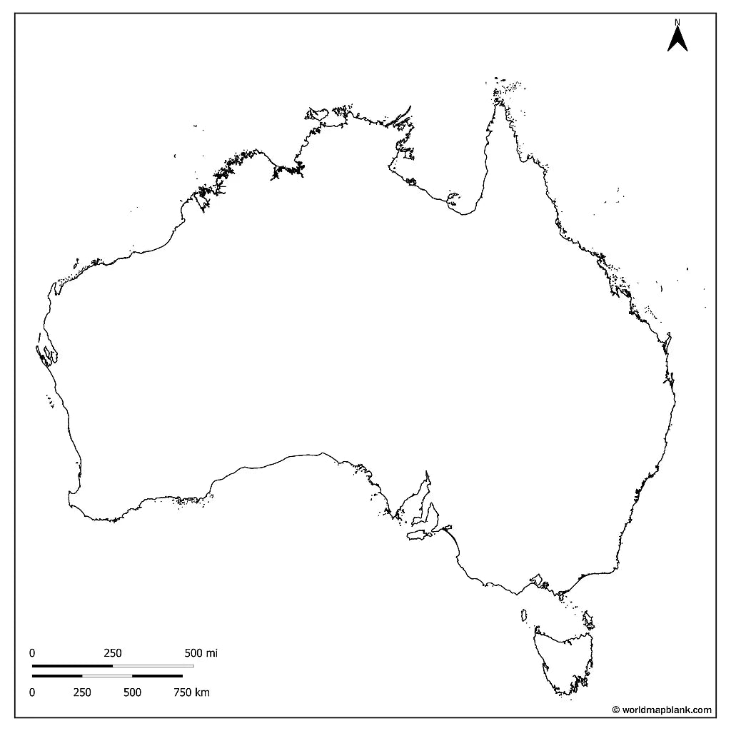
The blank map of Australia is a printable political map that draws the borders of the six states and two mainland territories, in black and white with no names on them, sized for A4 and printing on US Letter. Download it free as a PDF or a JPEG, either as the blank version with borders or as a plain outline map of Australia with the coastline only.
Because the map is unlabeled, it works as a base for practice: students fill in the states, their capitals, the rivers and the deserts themselves, and teachers use the same sheet for map quizzes, homework and coloring at school. It pairs well with our Australia map worksheets, and with the labeled political map of Australia when you need the names for reference.
Australia is both a country and a continent, so this map doubles as the continent sheet. For the wider region and its neighbours, browse the other blank continent maps.
The image below shows the printable blank map of Australia with state and territory borders as well as marked cities and towns (unlabeled).

Australia Blank Maps Bundle and More
The blank map and the outline map are free. The bundle adds more versions of the same map:
- Blank map of Australia
- Outline map of Australia
- Blank map of Australia with seas and oceans
- Blank map of Australia with capitals
- Blank Australia map with cities and towns
- Labeled Australia map for reference
The bundle includes PDF and JPEG versions of all maps.
The two free downloads are the blank map, which draws the borders between the states and territories, and the outline map, which has the outer outline only. The capital, city and town markers are part of the bundle: dots placed on the map without any names, so the sheet still works as an exercise rather than an answer key.
The blank map with seas and oceans includes the Pacific, Southern and Indian Oceans as well as the Timor, Tasman and Coral Seas.
The 6 States and 2 Territories of Australia and Their Capitals
Australia is divided into six states and two mainland territories, and every one of them has its own capital, from Sydney on the east coast to Perth on the west.
| State or territory | Capital |
|---|---|
| New South Wales | Sydney |
| Victoria | Melbourne |
| Queensland | Brisbane |
| Western Australia | Perth |
| South Australia | Adelaide |
| Tasmania | Hobart |
| Australian Capital Territory | Canberra |
| Northern Territory | Darwin |
Canberra, in the Australian Capital Territory, is also the national capital, which surprises people who expect Sydney or Melbourne.
About Australia's States and Geography
Australia covers about 7.7 million square kilometres, which makes it the sixth largest country in the world and the only one that is also a continent in its own right, yet it holds only around 27 million people, most of them on the eastern and southern coasts. Its highest point is Mount Kosciuszko at 2,228 metres in the Snowy Mountains, and its lowest is Kati Thanda, Lake Eyre, some 15 metres below sea level. The Murray is the longest river at roughly 2,500 kilometres, the Great Dividing Range runs down the entire eastern side, Uluru sits near the centre of the Northern Territory, and the Great Barrier Reef stretches along the Queensland coast for more than 2,000 kilometres. Those are the features students are usually asked to place, which is why an unlabeled base map is more useful for practice than a finished one.
Blank Map of Australia Features
- Free blank and outline versions in high-resolution PDF and JPEG
- Sized for A4 and prints on US Letter without cropping
- Black and white line work that prints cleanly on a home or school printer
- State and territory borders on the blank version, coastline only on the outline version
- Bundle versions with capital, city and town markers and with the surrounding seas
- Suitable for geography lessons, map quizzes, homeschooling, revision and travel journals
Frequently Asked Questions
Answers to the questions people ask most about the free blank map of Australia.
How many states and territories does Australia have?
Australia has six states and two mainland territories, eight in total. Each has its own capital, and Canberra in the Australian Capital Territory is the national capital.
Is Australia a country or a continent?
Both. Australia is the only country that is also a continent, which is why the same blank map is used for country work and for continent work in the classroom.
What is the difference between the blank map and the outline map?
The blank map is a political map: it draws the borders between the states and territories but names none of them. The outline map has no internal borders at all, just the coastline and the shape of the continent.
Is the blank map of Australia free to download?
Yes, the blank map and the outline map are free in PDF and JPEG, with no sign-up. The bundle with the marker and seas versions is a small one-off price.
How to Get Your Printable Map
- Choose the version you want above.
- Click "Download now" for a free map, or add the bundle to your cart and check out.
- Get your files instantly, then print or annotate them.
Who It's For
Students revising for map tests, teachers building classroom materials and quizzes, homeschooling parents, and travellers marking the places they have visited. For the neighbouring region, use the blank map of Asia.
Download your blank map of Australia now and use it for learning, geography practice, or your own map projects.


Download your free map
Enter your email and tell us how you'll use the map. Your download starts immediately.