
🇨🇦 Mapa en blanco de Canadá
🇨🇦 Mapa en blanco de Canadá
✅ Descarga gratuita – PDF y JPEG, listos para imprimir.
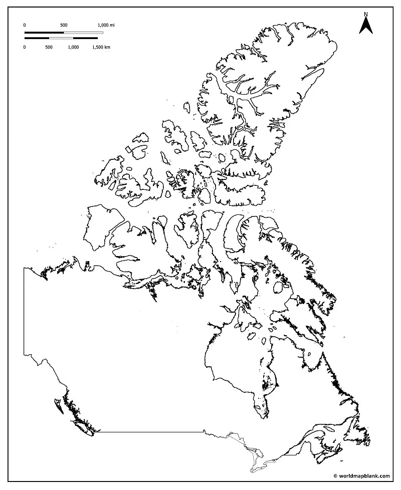
Descarga un mapa en blanco de Canadá para imprimir para la enseñanza de la geografía, hojas de ejercicios, actividades para el aula, cuestionarios, planificación de viajes y mucho más.
No se pudo cargar la disponibilidad de retiro
Agrega varios mapas al carrito para descargarlos todos a la vez.
Descarga gratis tu mapa mudo de Canadá o un mapa del contorno de Canadá como imagen JPEG y archivo PDF !
O consigue tu paquete de mapas mudos de Canadá, que incluye :
🗺 Mapa mudo de Canadá
🗺 Mapa del contorno de Canadá
🗺 Mapa mudo de Canadá con provincias y capitales
🗺 Mapa mudo de Canadá con océanos y los Grandes Lagos
🗺 Mapa mudo de Canadá con ciudades
El paquete incluye versiones en PDF y JPEG de todos los mapas.
Algunos mapas solo contienen los contornos de Canadá; otros incluyen todas las fronteras de provincias y territorios y marcadores para sus ciudades capitales :
Alberta (Edmonton), Columbia Británica (Victoria), Manitoba (Winnipeg), Nuevo Brunswick (Fredericton), Terranova y Labrador (St. John’s), Territorios del Noroeste (Yellowknife), Nueva Escocia (Halifax), Nunavut (Iqaluit), Ontario (Toronto), Isla del Príncipe Eduardo (Charlottetown), Quebec (Ciudad de Quebec), Saskatchewan (Regina) y Yukón (Whitehorse).


Descarga tu mapa gratis
Introduce tu correo electrónico y cuéntanos cómo vas a utilizar el mapa. La descarga comenzará de inmediato.
¿Para qué puedo usar un mapa en blanco?
Los mapas en blanco son una excelente manera de visualizar la geografía, comprender mejor las regiones y las fronteras, y ver cómo se relacionan los distintos lugares entre sí. Además, dan vida a presentaciones, diarios de viaje y proyectos creativos al ofrecerte un lienzo claro y flexible en el que trabajar.
Tal vez seas profesor y estés preparando tu próxima clase o las tareas para tus alumnos. Tal vez seas padre o madre y estés organizando materiales de práctica en casa. O quizá seas estudiante y estés preparándote para un examen o trabajando en un proyecto escolar. También puede que seas un viajero apasionado que anota sus recuerdos o sueña con su próxima aventura. En todos estos casos, un mapa en blanco resulta sorprendentemente versátil y puede utilizarse de diversas maneras.
En clase, los estudiantes pueden colorear mapas en blanco y etiquetar países, capitales, montañas, ríos u océanos. También pueden representar cambios fronterizos y acontecimientos históricos, lo que facilita la comprensión de materias como la geografía o la historia.
Los mapas en blanco son ideales para exámenes y ejercicios, desde etiquetar hasta realizar cuestionarios detallados. En un mapa en blanco de Europa, por ejemplo, los estudiantes pueden señalar cordilleras o ríos principales o marcar fronteras históricas. En inglés, se pueden usar para ubicar países de habla inglesa o para seguir la actualidad con colores.
Los mapas en blanco son muy útiles para presentaciones, tareas o la preparación de exámenes. Combinados con mapas etiquetados, permiten crear cuestionarios de geografía eficaces y reforzar los conocimientos mediante el uso del color y la rotulación.
Con un poco de creatividad, los viajeros pueden transformar fácilmente mapas en blanco en diarios de viaje personalizados. Marca los lugares que has visitado, traza tus rutas y anota un recuerdo especial para cada destino. Imprime un segundo mapa y úsalo como lista de todos los lugares que aún quieres descubrir.
También resultan útiles fuera del aula. En una presentación empresarial, pueden utilizarse para mostrar territorios de ventas, ubicaciones de oficinas o planes de expansión. Además, puedes imprimir mapas en blanco en gran formato y colgarlos en la pared. Con chinchetas, pegatinas, etiquetas o fotos, puedes personalizarlos para representar una amplia variedad de contenidos.
Sea cual sea el uso que quieras darles, worldmapblank.com te ofrece una amplia selección de mapas en blanco diseñados para ayudarte a alcanzar tus objetivos de aprendizaje o de creatividad.