
🇨🇦 Carte vierge du Canada
🇨🇦 Carte vierge du Canada
✅ Téléchargement gratuit – PDF et JPEG, prêts à imprimer.
Téléchargez ici une carte vierge du Canada à imprimer pour l’enseignement de la géographie, les fiches d’exercices, les activités en classe, les quiz, la planification de voyages et bien plus encore.
Impossible de charger la disponibilité du service de retrait
Ajoutez plusieurs cartes à votre panier pour les télécharger toutes en même temps.
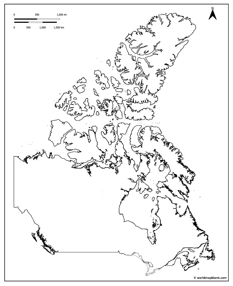
Télécharge ta carte vierge du Canada gratuite ou une carte muette du Canada au format image JPEG et fichier PDF !
Ou procure-toi ton pack de cartes vierges du Canada, comprenant :
🗺 Carte vierge du Canada
🗺 Carte muette du Canada
🗺 Carte vierge du Canada avec provinces et capitales
🗺 Carte vierge du Canada avec océans et Grands Lacs
🗺 Carte muette du Canada avec villes
Le pack comprend les versions PDF et JPEG de toutes les cartes.
Certaines cartes contiennent uniquement les contours du Canada, d’autres incluent toutes les frontières des provinces et territoires ainsi que des marqueurs pour leurs capitales :
Alberta (Edmonton), Colombie-Britannique (Victoria), Manitoba (Winnipeg), Nouveau-Brunswick (Fredericton), Terre-Neuve-et-Labrador (Saint-Jean), Territoires du Nord-Ouest (Yellowknife), Nouvelle-Écosse (Halifax), Nunavut (Iqaluit), Ontario (Toronto), Île-du-Prince-Édouard (Charlottetown), Québec (Québec), Saskatchewan (Regina) et Yukon (Whitehorse).


Téléchargez votre carte gratuite
Entrez votre adresse e-mail et dites-nous comment vous comptez utiliser la carte. Le téléchargement commence immédiatement.
À quoi servent les cartes vierges?
Les cartes vierges permettent avant tout d’apprendre la géographie en visualisant clairement les régions, les frontières et les relations spatiales. Elles s’utilisent aussi dans les présentations, les carnets de voyage et les projets créatifs.
Vous êtes peut-être enseignant et vous préparez votre prochain cours ou des devoirs à la maison. Peut-être êtes-vous parent et cherchez à constituer des supports pour faire travailler vos enfants. Ou bien vous êtes élève ou étudiant et vous révisez pour un examen ou vous vous attelez à un projet scolaire. Vous êtes peut-être aussi un globe-trotteur qui aime consigner ses souvenirs de voyage ou qui rêve déjà de sa prochaine aventure. Dans tous ces cas de figure, la carte vierge se révèle étonnamment polyvalente et s’utilise de multiples façons.
En classe, les élèves peuvent colorier des cartes vierges et y situer les pays, les capitales, les chaînes de montagnes, les fleuves ou les océans. Ils peuvent aussi visualiser l’évolution des frontières au fil des siècles ou repérer les lieux marquants de l’histoire. Les contenus abordés en géographie, en histoire ou en sciences sociales gagnent ainsi en clarté et se retiennent plus facilement.
Les cartes vierges sont également parfaites pour concevoir des contrôles et des fiches d’exercices. Des simples exercices d’étiquetage aux quiz les plus poussés, elles s’adaptent à tous les types de contenu. Sur une carte vierge de l’Europe, par exemple, les élèves peuvent placer des chaînes de montagnes comme les Alpes et les Pyrénées, ainsi que les grands fleuves du continent. En cours d’histoire, ils peuvent tracer les frontières d’avant et d’après la Première Guerre mondiale. En cours d’anglais, un planisphère vierge permet d’identifier tous les pays anglophones du monde. On peut aussi suivre l’actualité sans peine en coloriant les pays ou les régions concernés.
Pour les devoirs, les exposés ou la préparation aux examens, les cartes vierges sont tout aussi précieuses. Associées à des cartes légendées, elles se transforment facilement en quiz sur les pays et les continents. Colorier et légender une carte vierge est un excellent moyen d’ancrer durablement ses connaissances géographiques.
Avec un peu de créativité, les voyageurs peuvent rapidement en faire un carnet de voyage personnalisé. Marquez les endroits où vous êtes déjà allé, retracez vos itinéraires et notez, à côté de chaque destination, un souvenir marquant. Imprimez-en une deuxième et servez-vous-en comme liste de tous les lieux qu’il vous reste à découvrir.
En dehors de la salle de classe, elles rendent également de précieux services. Lors d’une présentation professionnelle, elles permettent de représenter des zones commerciales, des emplacements de bureaux ou des projets d’expansion. Vous pouvez aussi les imprimer en grand format et les accrocher au mur. Épingles, autocollants, annotations ou photos : vous pouvez les personnaliser à votre guise pour y faire figurer les contenus les plus variés.
Quel que soit l’usage que vous souhaitez en faire, worldmapblank.com vous propose un large choix de cartes vierges de pays, de continents, du monde entier et de bien d’autres régions.