
-
Carte du monde vierge à imprimer
Prix habituel $0.00 USDPrix habituelPrix unitaire par -

 Promotion
World Map with Oceans and Seas
Prix habituel À partir de $0.00 USDPrix habituelPrix unitaire par$11.97 USDPrix promotionnel À partir de $0.00 USDPromotion -
World Map with Latitude and Longitude
Prix habituel À partir de $0.00 USDPrix habituelPrix unitaire par -
Political World Map
Prix habituel À partir de $0.00 USDPrix habituelPrix unitaire par -
Labeled World Map
Prix habituel $0.00 USDPrix habituelPrix unitaire par -
World Map for Kids
Prix habituel À partir de $0.00 USDPrix habituelPrix unitaire par -
World Map with Continents
Prix habituel $0.00 USDPrix habituelPrix unitaire par -
World Map with Prime Meridian
Prix habituel $0.00 USDPrix habituelPrix unitaire par






Which World Map Should You Download?
Each of the eight world maps in this collection is built for a different job, so pick by what you need the map to do.
| World map | What is on it | Best for |
|---|---|---|
| Printable Blank World Map | The continents and the country borders with no place names, plus versions with the outline only | Quizzes and exercises where students write in the countries |
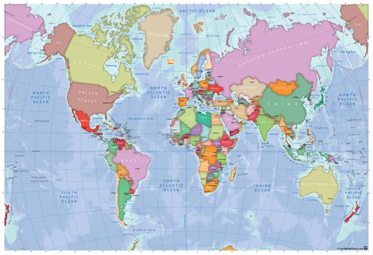
| Political World Map | The countries named and colored, in three styles from a bold reference map to an atlas-style map with the oceans and the latitude lines | Country work and a reference sheet for the classroom |
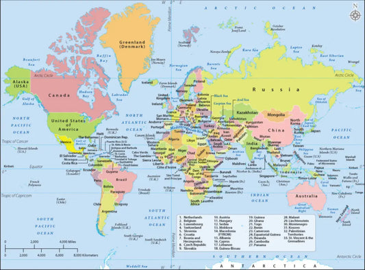
| Labeled World Map | The countries named, the smallest ones in a numbered key, with the oceans, the major seas, the Equator and the tropics | Looking things up and checking answers |
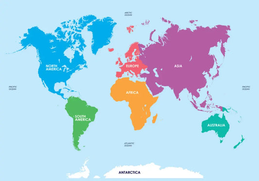
| World Map with Continents | The continents in color, from a version with no names to one with all seven continents and all five oceans named | A first lesson on the continents |
| World Map with Oceans and Seas | All five oceans and the major seas named over a shaded ocean floor, as a labeled map, a blank map or a waters-only map | Lessons where the water is the subject |
| World Map with Latitude and Longitude | The countries named under a coordinate grid ruled every 20 degrees and labeled on all four edges | Reading and plotting coordinates |
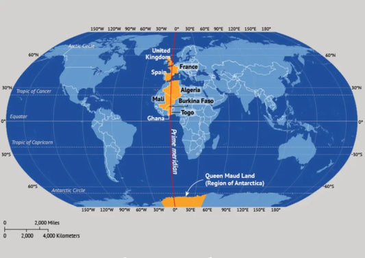
| World Map with Prime Meridian | The Prime Meridian drawn from pole to pole, with the eight countries it crosses and Queen Maud Land in Antarctica highlighted on two versions, and the Equator marked on the third | Lessons on longitude and the Eastern and Western Hemispheres |
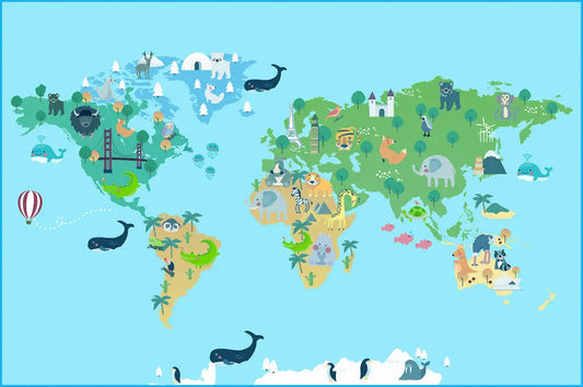
| World Map for Kids | Three maps for children: one with animals on every continent, one picture map with no labels, and one with the countries named in bright colors | Younger children and the bedroom or classroom wall |
Four of the maps (the political map, the latitude and longitude map, the oceans and seas map and the map for kids) also offer a paid high-resolution file for large prints. Everything else on this page is free.
Frequently Asked Questions
Are these world maps free to download?
Yes, every world map here has at least one free version as a PDF and a JPG. Four of them also sell a high-resolution file for posters and other large prints.
Which world map is best for a geography quiz?
Use the printable blank world map for the quiz, since it draws the borders without any names, and the labeled world map as the answer key. For younger classes, the world map with continents has a version with no names that works the same way, with a handful of continents to name instead of almost two hundred countries.
What is the difference between a political world map and a labeled world map?
Both name the countries. The political world map comes in three styles and puts the borders and the colors first, while the labeled world map writes out everything it can, including a numbered key for the smallest countries, the seas and the main lines of latitude.
How do I download a world map?
Open the map's page, pick a version and click "Download now", then enter your email address and choose how you will use the map. The free download then starts right away.
Looking for a single region instead of the whole world? Browse the blank continent maps and the blank country maps.