
Political World Map
Political World Map
✅ Téléchargement gratuit – PDF et JPEG, prêts à imprimer.
Téléchargez ici une political World Map à imprimer pour l’enseignement de la géographie, les fiches d’exercices, les activités en classe, les quiz, la planification de voyages et bien plus encore.
Impossible de charger la disponibilité du service de retrait
Ajoutez plusieurs cartes à votre panier pour les télécharger toutes en même temps.
🗺️ Political World Map for Practice, Learning, or Projects
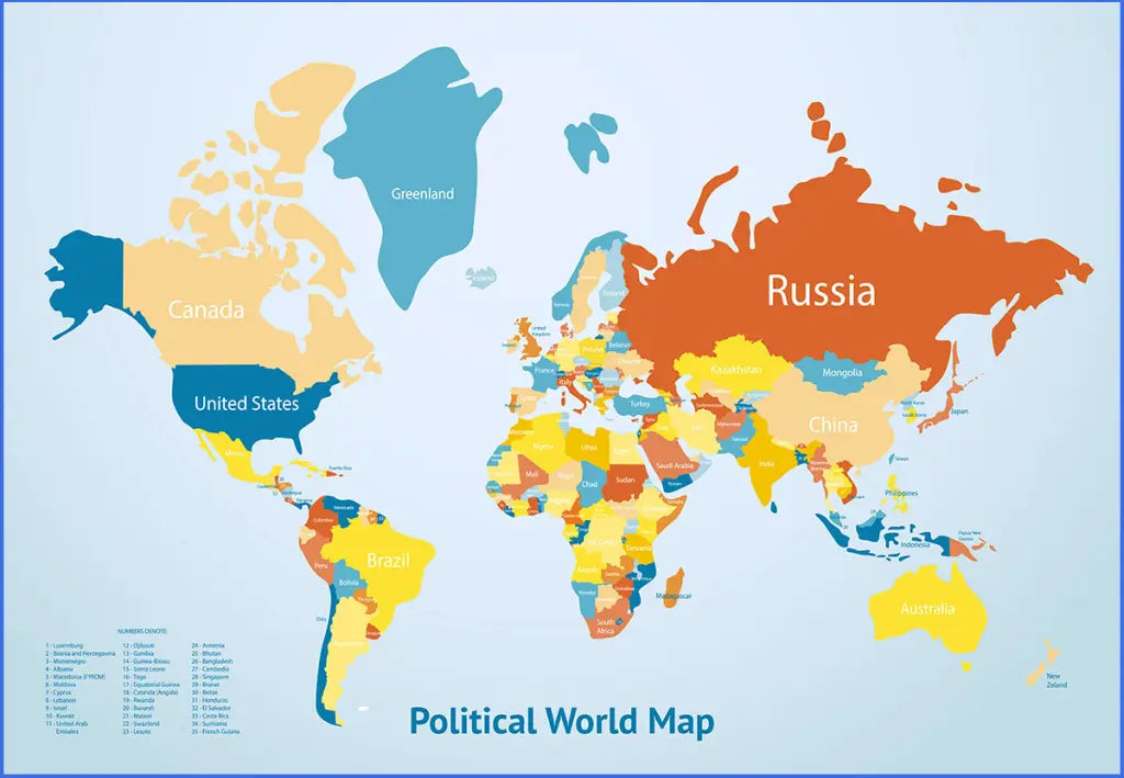
Download your free printable political world map as a JPG and a PDF file. You can also explore our other world maps for download or combine this map with a blank world map for additional practice.
Political world maps are ideal for classroom use, geography lessons, study projects, and general reference.
Whether you're looking for a printable political world map, a world map with country borders, or a high-resolution world map, this download offers multiple formats for flexible use.
The below image shows a political world map with countries in the van der Grinten projection. It is also available as a jigsaw puzzle.

We offer several versions of political world maps for free download and in high-resolution formats. Additionally, check out our labeled continent maps and political country maps.
📁 Available Versions
Each file is available in JPG and PDF formats, with premium options in PNG for higher resolution.
- Free printable political world map (JPG and PDF)
- Multiple versions to choose from
- High-resolution political world map (PNG, JPG, PDF)
We also offer a high-resolution political world map (van der Grinten projection, 3840 x 2624 px) in PNG, JPG, and PDF file formats.
✅ Political World Map Features
- Clear display of country borders for political reference
- Multiple file formats for flexible use
- High-resolution versions available for detailed printing
- Suitable for education, reports, and general reference
🛒 How to Get Your Printable Map
- Add all your preferred map(s) to the cart
- Proceed to checkout
- Download your maps instantly
🎓 Who It's For
This political world map is ideal for students, teachers, homeschoolers, and travelers. It works well for geography lessons, classroom materials, and global reference.
Download your printable political world map now and start using it for learning, teaching, or reference.


Téléchargez votre carte gratuite
Entrez votre adresse e-mail et dites-nous comment vous comptez utiliser la carte. Le téléchargement commence immédiatement.