
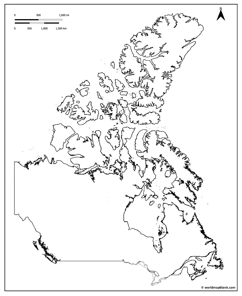
🇨🇦 Blank Map of Canada
🇨🇦 Blank Map of Canada
✅ Download gratuito – PDF e JPEG, prontos para imprimir.
Descarregue um mapa em branco para imprimir, destinado ao ensino de geografia, fichas de exercícios, atividades para a sala de aula, questionários, planeamento de viagens e muito mais.
Não foi possível carregar a disponibilidade de retirada.
Adicione mais cartões ao seu carrinho para baixá-los todos de uma vez.
Download your free Blank Map of Canada or a Canada outline map as a JPEG image and a PDF file!
Or get your Canada blank map bundle, including:
🗺 Blank map of Canada
🗺 Canada outline map
🗺 Blank Canada map with provinces and capitals
🗺 Blank map of Canada with oceans and Great Lakes
🗺 Blank Canada Map with Cities
The bundle includes PDF and JPEG versions of all maps.
Some maps only contain the outlines of Canada, others come with all province and territory borders and markers for their capital cities:
Alberta (Edmonton), British Columbia (Victoria), Manitoba (Winnipeg), New Brunswick (Fredericton), Newfoundland and Labrador (St. John’s), Northwest Territories (Yellowknife), Nova Scotia (Halifax), Nunavut (Iqaluit), Ontario (Toronto), Prince Edward Island (Charlottetown), Quebec (Quebec City), Saskatchewan (Regina), and Yukon (Whitehorse).


Baixa o teu mapa gratuito
Digita seu e-mail e conta pra gente como você vai usar o mapa. O download começa imediatamente.
O que posso fazer com um mapa em branco?
Mapas em branco são uma ótima forma de visualizar a geografia, entender melhor regiões e fronteiras e ver como os lugares se relacionam entre si. Além disso, dão vida a apresentações, diários de viagem e projetos criativos, oferecendo uma base clara e flexível para trabalhar.
Talvez você seja professor e esteja preparando sua próxima aula ou atividades para casa. Talvez seja pai ou mãe organizando materiais de estudo em casa. Ou você pode ser estudante, se preparando para uma prova ou trabalhando em um projeto escolar. Quem sabe você seja um viajante apaixonado registrando memórias ou planejando sua próxima aventura. Em todos esses casos, um mapa em branco é surpreendentemente versátil e pode ser usado de muitas maneiras diferentes.
Em sala de aula, os alunos podem colorir mapas em branco e identificar países, capitais, cadeias de montanhas, rios ou oceanos. Também podem representar mudanças de fronteiras e eventos históricos, tornando disciplinas como geografia e história mais fáceis de entender.
Mapas em branco também são excelentes para criar provas e folhas de exercícios. Desde atividades simples de identificação até questionários mais detalhados, eles se adaptam a uma grande variedade de conteúdos. Em um mapa em branco da Europa, por exemplo, os alunos podem marcar cadeias de montanhas como os Alpes e os Pireneus, além dos principais rios do continente. Ou, nas aulas de história, podem indicar as fronteiras antes e depois da Primeira Guerra Mundial. Nas aulas de inglês, um mapa do mundo sem nomes pode ser usado para mostrar todos os países de língua inglesa. Também é fácil acompanhar a atualidade ao colorir países ou regiões específicas.
Mapas em branco são muito úteis para apresentações, tarefas ou preparação para provas. Combinados com mapas com nomes, ajudam a criar quizzes de geografia eficazes e a reforçar o aprendizado por meio da coloração e identificação.
Com um pouco de criatividade, viajantes podem transformar facilmente mapas em branco em diários de viagem personalizados. Marque os lugares que você já visitou, trace suas rotas e anote uma lembrança especial de cada destino. Imprima um segundo mapa e use-o como uma lista de lugares que você ainda quer conhecer.
Eles também são úteis fora da sala de aula. Em uma apresentação de negócios, podem ser usados para mostrar áreas de atuação, localizações de escritórios ou planos de expansão. Você também pode imprimir mapas em branco em formato grande e pendurá-los na parede. Com alfinetes, adesivos, etiquetas ou fotos, dá para personalizá-los e exibir diversos tipos de conteúdo.
Seja qual for o seu objetivo, no WMB Maps você encontra uma grande variedade de mapas em branco, pensados para ajudar você a alcançá-los.