

🇨🇭 Blank Map of Switzerland
🇨🇭 Blank Map of Switzerland
Det gick inte att ladda hämtningstillgänglighet
Lägg till fler kort i varukorgen för att ladda ner dem alla på en gång.
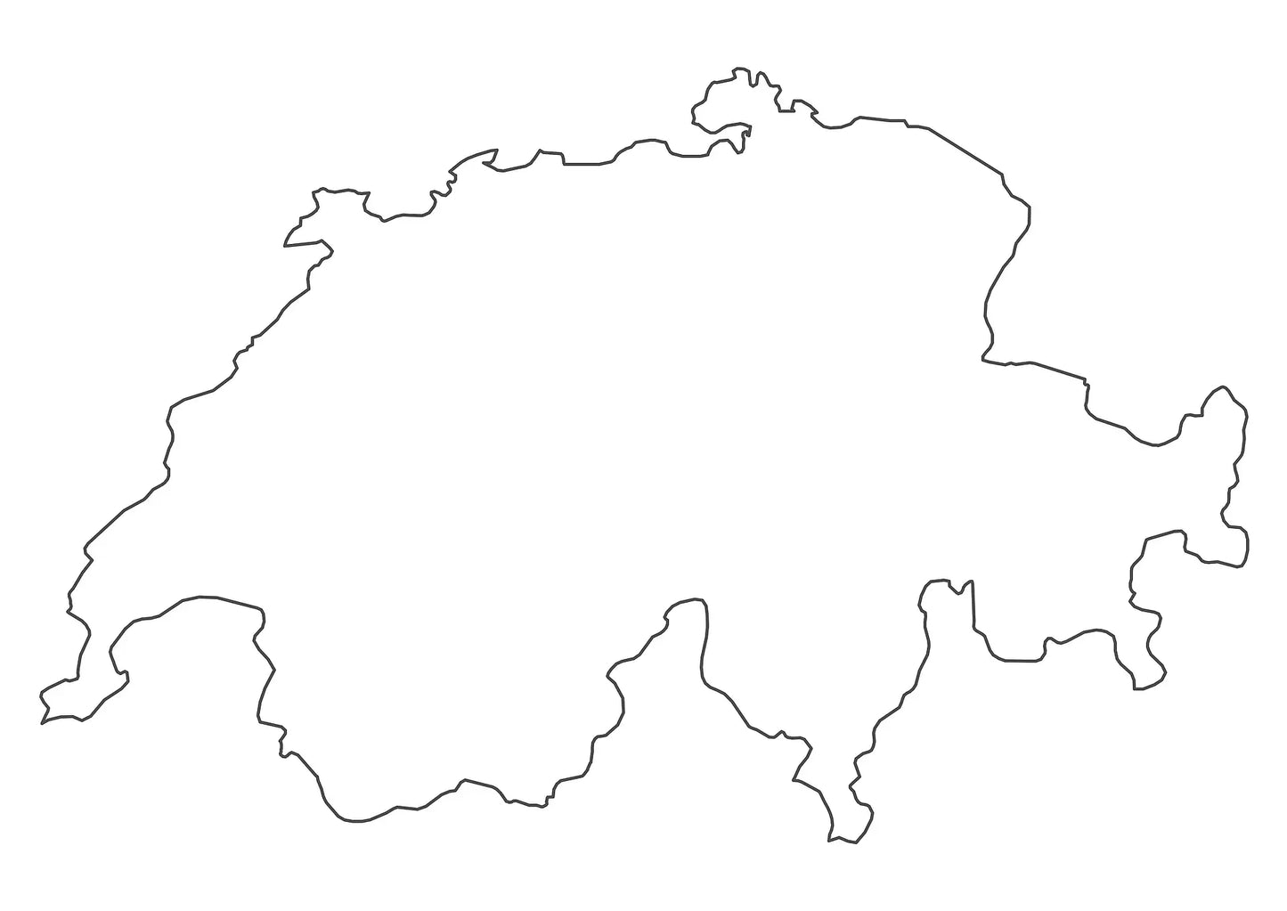
The blank map of Switzerland is a printable political map that draws the borders of all 26 cantons, in black and white with no names on them, sized for A4 and printing on US Letter. Download it free as a PDF or a JPEG, either as the blank version with canton borders or as a plain Switzerland outline map with the country outline only.
Because the map is unlabeled, it works as a base for practice: students fill in the cantons, their capitals, the Alps and the big lakes themselves, and teachers use the same sheet for map quizzes, homework and school projects. Use the printable labeled map of Switzerland when you need the names for reference.
For a neighbour in the same detail, use the blank map of Austria or the blank map of Germany. For the wider region, use the blank map of Europe, or browse the other blank country maps.
The image below shows the version from the bundle that has the canton names printed on it. The two free downloads draw the same canton borders with no names, so they still work as an exercise.

Switzerland Blank Map Bundle and More
The blank map and the outline map are free. The bundle adds more versions of the same map:
- Blank map of Switzerland with canton borders
- Blank map of Switzerland with cantons labeled
- Switzerland outline map
- Blank map of Switzerland with canton capital markers
- Blank map of Switzerland with canton capitals labeled
- Blank map of Switzerland with cantons and capitals labeled
The bundle includes PNG and JPEG images and PDF files of all maps.
The two free downloads are the blank map, which draws the borders between the cantons, and the outline map, which has the country outline only. The names and the capital markers are part of the bundle: the capital version places dots on the map without any names, so that sheet still works as an exercise rather than an answer key.
The 26 Cantons of Switzerland and Their Capitals
Switzerland is divided into 26 cantons, and each one has its own capital, called the Hauptort in German. The country itself has no capital declared in its constitution: Bern is the federal city and the seat of government, which is as close as Switzerland comes to naming one.
| Canton | Capital |
|---|---|
| Aargau | Aarau |
| Appenzell Ausserrhoden | Herisau |
| Appenzell Innerrhoden | Appenzell |
| Basel-Landschaft | Liestal |
| Basel-Stadt | Basel |
| Bern | Bern |
| Fribourg | Fribourg |
| Geneva | Geneva |
| Glarus | Glarus |
| Graubuenden | Chur |
| Jura | Delemont |
| Lucerne | Lucerne |
| Neuchatel | Neuchatel |
| Nidwalden | Stans |
| Obwalden | Sarnen |
| Schaffhausen | Schaffhausen |
| Schwyz | Schwyz |
| Solothurn | Solothurn |
| St. Gallen | St. Gallen |
| Thurgau | Frauenfeld |
| Ticino | Bellinzona |
| Uri | Altdorf |
| Valais | Sion |
| Vaud | Lausanne |
| Zug | Zug |
| Zurich | Zurich |
Six of the 26 are the reason people disagree about the number. Obwalden and Nidwalden, Basel-Stadt and Basel-Landschaft, and the two Appenzells are half-cantons: each pair counts as one canton for some purposes and as two for others, which is why older textbooks say 23. On a correct blank map all six are drawn as separate areas, so the count you see is 26. Two more shapes catch people out. Geneva hangs off the south-western corner and is joined to the rest of the country by a narrow strip of Vaud, and Basel-Stadt is small enough that it is easy to miss between the Rhine and the German border.
About Switzerland's Cantons and Geography
Switzerland covers about 41,300 square kilometres and holds roughly 9 million people, which makes it small by area and dense by European standards, but the population is not spread evenly: the Alps take up around 58 percent of the land and the Central Plateau only about 30 percent, and it is that plateau, the strip running from Geneva to St. Gallen, that carries two thirds of the people and most of the cities. The Dufourspitze is the highest point at 4,634 metres, though the Matterhorn at 4,478 metres is the shape everyone recognises. The Rhine and the Rhone both rise in the Gotthard massif within a short distance of each other and then leave for opposite seas, the North Sea and the Mediterranean. Lake Geneva is the largest lake at around 580 square kilometres, shared with France, while Lake Neuchatel is the largest that lies entirely inside the country, and Lake Constance in the north-east is shared with Germany and Austria. Switzerland is landlocked and borders five countries: Germany, France, Italy, Austria and Liechtenstein. It also has four national languages, German, French, Italian and Romansh, and the language borders run across the cantons rather than along them. Those are the features students are usually asked to place, which is why an unlabeled base map is more useful for practice than a finished one.
Blank Map of Switzerland Features
- Free blank and outline versions in high-resolution PDF and JPEG
- Sized for A4 and prints on US Letter without cropping
- Black and white line work that prints cleanly on a home or school printer
- Canton borders on the blank version, country outline only on the outline version
- All six half-cantons drawn as separate areas, so the map matches the official count of 26
- Bundle versions with canton names, canton capital markers and capital names
- Bundle files in PNG, JPEG and PDF
- Suitable for geography lessons, map quizzes, homeschooling, revision and school projects
Frequently Asked Questions
Answers to the questions people ask most about the free blank map of Switzerland.
How many cantons does Switzerland have?
Twenty-six. Six of them are half-cantons in three pairs, Obwalden and Nidwalden, Basel-Stadt and Basel-Landschaft, and Appenzell Ausserrhoden and Appenzell Innerrhoden, which is why some older sources count 23. All 26 are drawn as separate areas on this map.
What is the difference between the blank map and the outline map?
The blank map is a political map: it draws every border between the 26 cantons but names none of them. The outline map has no internal borders at all, just the shape of the country, which is the version people use for tracing and for drawing in their own features.
Does the free map show the canton names?
No, and that is deliberate: the free blank map shows canton borders only, so students can fill in the names themselves. The bundle adds the named versions and a version with capital markers shown as dots without names, which still works as an exercise.
Which countries border Switzerland?
Five: Germany to the north, France to the west, Italy to the south, and Austria and Liechtenstein to the east. Switzerland is landlocked, and three of its lakes, Constance, Geneva and Lugano, sit on those borders rather than inside them.
Can I print the blank map of Switzerland in A4 size?
Yes, every file is sized for A4 and prints on US Letter without cropping. The PDF keeps its line quality when enlarged, so the same download also works for a poster-size print or a classroom wall chart.
How to Get Your Printable Map
- Choose the version you want above.
- Click "Download now" for a free map, or add the bundle to your cart and check out.
- Get your files instantly, then print or annotate them.
Who It's For
Students revising for map tests, teachers building classroom materials and quizzes, homeschooling parents, and anyone who needs a clean base map of Switzerland for a project.
Download your blank map of Switzerland now and use it for learning, geography practice, or your own map projects.


Ladda ner din gratis karta
Ange din e-postadress och berätta hur du tänker använda kartan. Nedladdningen påbörjas omedelbart.