
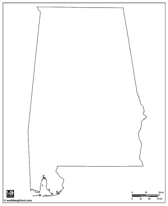
Blank Map of Alabama
Blank Map of Alabama
✅ Free download – PDF and JPEG, ready to print.
Download a printable blank map of Alabama for geography teaching, practice worksheets, classroom exercises, quizzes, travel planning, and more.
Couldn't load pickup availability
Add multiple maps to the cart to download them all at once.
Download your free blank map of Alabama or an Alabama outline map as a JPEG image and PDF file!
Or buy your Alabama blank maps bundle including:
🗺 Blank map of Alabama with counties
🗺 Outline map of Alabama
🗺 Blank map of Alabama with county seats
🗺 Blank Alabama map with cities and towns
🗺 Blank map of Alabama with neighboring states
The bundle includes PDF and JPEG versions of all maps.
The maps with counties and/or county seats include the county borders and city markers for:
Autauga (Prattville), Baldwin (Bay Minette), Barbour (Clayton), Bibb (Centreville), Blount (Oneonta), Bullock (Union Springs), Butler (Greenville), Calhoun (Anniston), Chambers (Lafayette), Cherokee (Centre), Chilton (Clanton), Choctaw (Butler), Clarke (Grove Hill), Clay (Ashland), Cleburne (Heflin), Coffee (Elba), Colbert (Tuscumbia), Conecuh (Evergreen), Coosa (Rockford), Covington (Andalusia), Crenshaw (Luverne), Cullman (Cullman), Dale (Ozark), Dallas (Selma), DeKalb (Fort Payne), Elmore (Wetumpka), Escambia (Brewton), Etowah (Gadsden), Fayette (Fayette), Franklin (Russellville), Geneva (Geneva), Greene (Eutaw), Hale (Greensboro), Henry (Abbeville), Houston (Dothan), Jackson (Scottsboro), Jefferson (Birmingham), Lamar (Vernon), Lauderdale (Florence), Lawrence (Moulton), Lee (Opelika), Limestone (Athens), Lowndes (Hayneville), Macon (Tuskegee), Madison (Huntsville), Marengo (Linden), Marion (Hamilton), Marshall (Guntersville), Mobile (Mobile), Monroe (Monroeville), Montgomery (Montgomery), Morgan (Decatur), Perry (Marion), Pickens (Carrollton), Pike (Troy), Randolph (Wedowee), Russell (Phenix City), St. Clair (Pell City, Ashville), Shelby (Columbiana), Sumter (Livingston), Talladega (Talladega), Tallapoosa (Dadeville), Tuscaloosa (Tuscaloosa), Walker (Jasper), Washington (Chatom), Wilcox (Camden), and Winston (Double Springs).
The blank map with cities and towns also has markers for:
Addison, Albertville, Alabaster, Alexander City, Aliceville, Arab, Ashford, Attalla, Auburn, Autaugaville, Beatrice, Berry, Branchville, Brantley, Bridgeport, Brundidge, Camp Hill, Carbon Hill, Castleberry, Cedar Bluff, Cherokee, Chickasaw, Childersburg, Collinsville, Cordova, Cottonwood, Courtland, Daleville, Edwardsville, Elkmont, Foley, Frisco City, Gardendale, Georgiana, Gilbertown, Goodwater, Graysville, Greensboro, Guin, Hackleburg, Hanceville, Hartselle, Hartford, Headland, Hokes Bluff, Holt, Hoover, Hurtsboro, Jackson, Jacksonville, Kennedy, Lake Purdy, Lanett, Lexington, Lineville, Lisman, Littleville, Lockhart, Locust Fork, Loxley, Louisville, Lowndesboro, Maplesville, McIntosh, Meridianville, Midway, Millry, Napier Field, Northport, Oakman, Opp, Orrville, Oxford, Phil Campbell, Pickensville, Pine Hill, Pleasant Grove, Ragland, Rainsville, Red Bay, River Falls, River View, Roanoke, Rogersville, Samson, Sulligent, Sylacauga, Stevenson, Thorsby, Thomaston, Thomasville, Tillmans Corner, Uniontown, West Blocton, York.


Download your free map
Enter your email and tell us how you'll use the map. Your download starts immediately.
What Can I Do with a Blank Map?
Blank maps are a great way to visualize geography, get a feel for regions and borders, and see how places relate to one another. They also bring presentations, travel journals, and creative projects to life by giving you a clear, flexible canvas to work with.
Maybe you’re a teacher planning your next lesson or preparing homework assignments. Maybe you’re a parent putting together practice materials at home. Or you’re a student preparing for an exam or working on a school project. Perhaps you’re a globetrotter writing down your travel memories or dreaming up your next adventure. In all these cases, a blank map is surprisingly versatile and can be used in many different ways.
In class, students can color blank maps and label countries, capitals, mountains, rivers, or oceans. They can illustrate shifting borders and historical events, making subjects like geography and history easier to grasp.
Blank maps are also excellent for creating tests and worksheets. From simple labeling exercises to detailed quizzes, they can be adapted to a wide variety of content. On a blank map of Europe, for example, students can mark mountain ranges like the Alps and the Pyrenees, as well as the continent’s major rivers. Or, in history class, they can mark the borders before and after World War I. In English class, an outline map can be used to show all the English-speaking countries of the world. Current events are also easy to track by shading in countries or specific regions.
Blank maps are helpful for presentations, homework, or exam prep. Combined with labeled maps, they make effective geography quizzes and reinforce knowledge through coloring and labeling.
With a little creativity, globetrotters can quickly transform blank maps into personalized travel journals. Mark the places you’ve been, trace your routes, and jot down a special memory for each destination. Print a second map and use it as a bucket list for everywhere you still want to see.
They’re also useful outside the classroom. In a business presentation, they can be used to show sales territories, office locations, or planned expansions. You can also print blank maps in a large format and hang them on the wall. With pins, stickers, labels, or photos, they can be personalized to display a wide range of content.
For any purpose, WMB Maps provides a wide selection of blank maps designed to help you achieve your learning or creative goals.