
Free Printable Maps, Wall Maps and Scratch Maps
WMB Maps publishes hundreds of free printable maps: blank, outline and labeled maps of the world, the continents, 45 countries and all 50 U.S. states, each a PDF and a JPEG sized for A4 and US Letter, with no sign-up. We also make maps worth keeping: scratch maps, framed prints of historic world maps, educational wall maps and map jigsaw puzzles. Start with the printable blank world map, or use the menu above to browse every category.
-
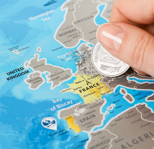
Scratch Off World Map Silver
Regular price $35.90 USDRegular priceUnit price per$39.90 USDSale price $35.90 USDSale -
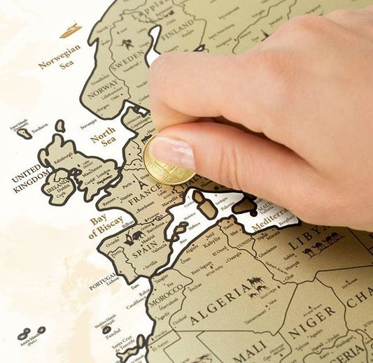
Scratch Off World Map Gold
Regular price $39.90 USDRegular priceUnit price per -
Scratch Off Europe Map
Regular price $35.90 USDRegular priceUnit price per -
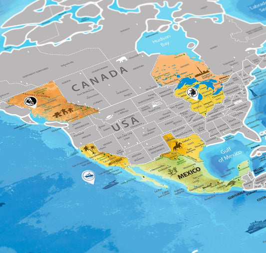
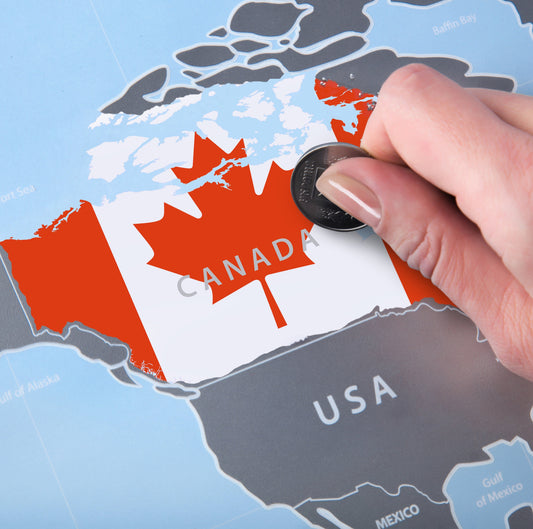
Scratch Off World Map Flags
Regular price $38.90 USDRegular priceUnit price per






Blank, Outline, Labeled or Political: Which Map Do You Need?
Every map here starts from the same idea: a clean base map you can print straight away, or fill in yourself. Hundreds of the files here are free, and the sections below explain what each map type shows and which one fits the job.
| Map type | What is drawn on it | Best for |
|---|---|---|
| Blank map | Every country, state or region drawn, and nothing named | Naming countries, states or regions from memory |
| Outline map | The coastline or outer edge only, with no internal lines | Tracing, and drawing in your own rivers, ranges or routes |
| Labeled map | Every country, state or region named on the map itself | Checking answers, and classroom reference |
| Political map | Names, with each country, state or region in its own colour | Seeing at a glance which places are neighbours |
The two that get mixed up are the blank map and the outline map. Our blank maps usually still draw the internal lines; an outline map does not. If the exercise is to name the countries of Europe, students need the blank continent map. If it is to draw in the mountain ranges, the outline version is the cleaner sheet.
What Is Free and What Is Not
Most of this library costs nothing, and the free files are the bulk of it.
- Free, always: the blank and outline versions, in high-resolution PDF and JPEG, with no sign-up and no watermark.
- A small one-off price: the map bundles for country and continent maps. Depending on the map, they add versions with capital markers, city markers or the surrounding seas and oceans, and often a labeled copy for reference. The markers are dots without names, so a bundle map still works as an exercise.
- Shipped to you: scratch maps for tracking the countries you have visited, framed and poster prints of historic world maps, wall map posters and US state wall maps, and map jigsaw puzzles.
Formats and Print Sizes
Every download is supplied as both a PDF and a JPEG. The PDFs are sized for A4 and print on US Letter without cropping. They stay sharp when enlarged, so the same file often works for a class handout and a larger wall chart. The line work is black on white, which prints cleanly on a home or school printer.
What You Can Download
- World maps in blank, labeled and political versions
- Blank continent maps for the continents
- Blank country maps for 45 countries, with their states, regions or provinces drawn
- Blank US state maps for all 50 states, plus Canadian provinces
- Labeled country maps and labeled continent maps when you need the names already on the page
- Geography worksheets built on the same maps, for a small one-off price
Who These Maps Are For
Students revising for map tests, teachers building quizzes and classroom materials, homeschooling parents, and travellers marking where they have been. If you need a clean base map for a report, a presentation or a wall, it is here too.
Frequently Asked Questions
What is a blank map?
A blank map shows the shapes without the names. The countries, states or regions are drawn but not written on, so the map works as an exercise and the reader fills the names in. You will also see it called a mute map or an unlabeled map.
What is the difference between a blank map and an outline map?
A blank map draws the internal lines between countries, states or regions, but names none of them. An outline map is really a blank map too, but with no internal lines at all, just the coastline or the outer edge. Blank maps are best for learning the names of countries and regions. Outline maps work best for tracing or for drawing in rivers, mountain ranges and other features.
Are the maps really free?
Yes. Hundreds of maps download free as PDF and JPEG files, with no sign-up and no watermark. What costs money is the map bundles, with capital and city markers and often an extra labeled map for reference, and all printed maps such as scratch maps, historic map prints, wall maps and jigsaw puzzles.
What size do the maps print at?
Every file is sized for A4 and prints on US Letter without cropping. The PDF stays sharp when enlarged, so you can often print the same download larger, for example as a wall chart for the classroom.
Can I use the maps in a classroom or in my own work?
Classroom and personal use is what these maps are made for. What is and is not permitted is set out in our licensing terms.