🇫🇷 Blank Map of France
🇫🇷 Blank Map of France
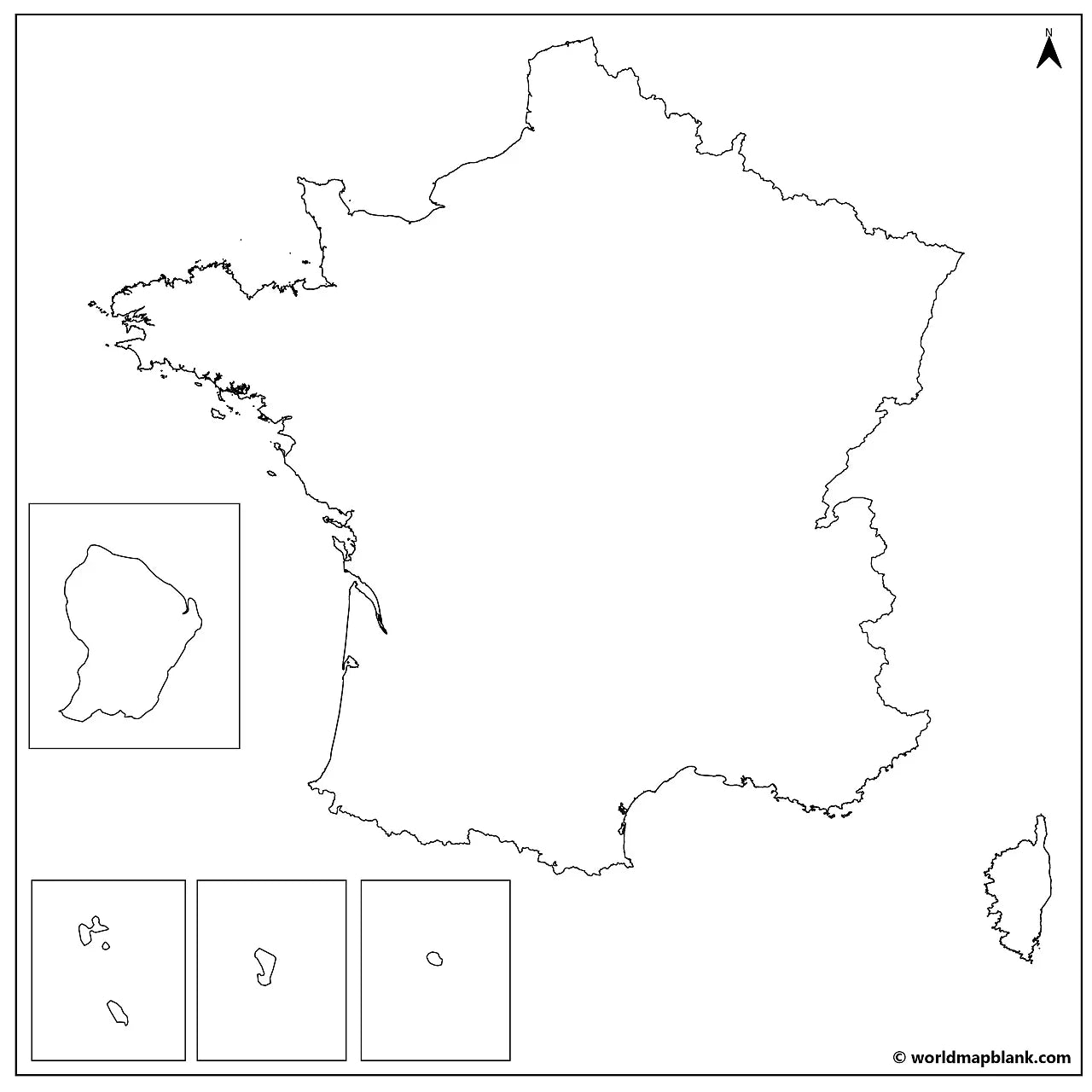
Download a printable blank map of France for geography teaching, practice worksheets, classroom exercises, quizzes, travel planning, and more.
Couldn't load pickup availability
Add multiple maps to the cart to download them all at once.
🗺️ Blank Map of France for Practice, Learning, or Projects
Download your free blank map of France as a JPEG image and a PDF file. You can also explore our other blank country maps or use a blank map of Germany for additional regional practice.
Blank maps are great for classroom activities, geography quizzes, France map worksheets, or creative projects like coloring, planning trips, or marking visited regions.
Whether you're looking for a blank map of France with regions, a France outline map, or a blank map of France with cities and capitals, this download offers multiple variations for flexible use.
The below image shows a printable blank map of France with regional borders and markers for regional capitals.

We offer several other versions of a blank map of France for free download. You can also get printable outline maps of neighboring countries like Belgium or Spain.
📁 France Map Bundle and More
Each file is available in high-resolution PDF and JPEG formats, ready for download and immediate use.
Available styles:
Or get your France blank map bundle, including several variations for different learning and reference needs.
- Blank map of France with regions
- France outline map
- Blank map of France with region capitals
- Blank France map with cities
- France outline map with seas and neighboring countries
- France labeled map for reference
The bundle includes PDF and JPEG versions of all maps.
🌍 Regions, Capitals, and Cities
The maps with capitals and/or cities include borders and city markers for:
Metropolitan France: Auvergne-Rhône-Alpes (Lyon), Bourgogne-Franche-Comté (Dijon), Brittany (Rennes), Centre-Val de Loire (Orléans), Corsica (Ajaccio), Grand Est (Strasbourg), Hauts-de-France (Lille), Île-de-France (Paris), Normandy (Rouen), Nouvelle-Aquitaine (Bordeaux), Occitanie (Toulouse), Pays de la Loire (Nantes), Provence-Alpes-Côte d'Azur (Marseille).
Overseas regions: French Guiana (Cayenne), Guadeloupe (Basse-Terre), Martinique (Fort-de-France), Mayotte (Dzaoudzi), Réunion (Saint-Denis).
The blank map with cities also has markers for:
Agen, Ajaccio, Auxerre, Basse-Terre, Bastia, Béziers, Bordeaux, Bourges, Brest, Brive, Cayenne, Calais, Cherbourg, Dieppe, Dijon, Dzaoudzi, Fort-de-France, Grenoble, La Rochelle, Le Havre, Le Mans, Lille, Lorient, Lyon, Marseille, Mulhouse, Nantes, Nevers, Nice, Nîmes, Orléans, Paris, Rennes, Rouen, Saint-Denis, Saint-Étienne, Strasbourg, Toulon, Toulouse, Tours, Troyes, Versailles, and Vichy.
✅ Blank Map of France Features
- Detailed maps with regional borders and capital markers
- City markers in selected versions
- Versions with seas and neighboring countries
- High-resolution PDF and JPEG formats
- Suitable for education, reference, and study projects
🛒 How to Get Your Printable Map
- Add all your preferred map(s) to the cart
- Proceed to checkout
- Download your maps instantly
🎓 Who It's For
A blank map of France is ideal for students, teachers, homeschoolers, and travelers. It works well for labeling exercises, geography worksheets, study projects, and regional map practice.
Complete your collection with a labeled map of France or get ready-made and customizable France worksheets with regions and regional capitals.
Download your blank map of France now and start using it for learning, geography practice, or your own projects.