

🇮🇹 Blank Map of Italy
🇮🇹 Blank Map of Italy
Impossible de charger la disponibilité du service de retrait
Ajoutez plusieurs cartes à votre panier pour les télécharger toutes en même temps.
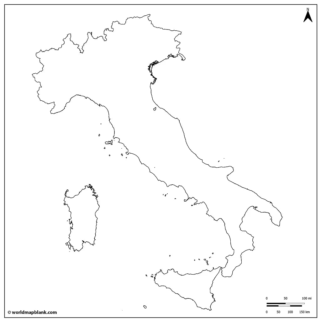
The blank map of Italy is a printable political map that draws the borders of all 20 regions, in black and white with no names on them, sized for A4 and printing on US Letter. Download it free as a PDF or a JPEG, either as the blank version with region borders or as a plain Italy outline map with the country outline only.
Because the map is unlabeled, it works as a base for practice: students fill in the regions, their capitals, the Alps and the Apennines themselves, and teachers use the same sheet for map quizzes, homework and coloring at school. It pairs well with our Italy map worksheets, and with the printable map of Italy with regions when you need the names for reference.
For the wider region, use the blank map of Europe or the printable blank world map, or browse the other blank country maps.
The image below shows the printable blank map of Italy with region borders and capitals.

Italy Blank Map Bundle and More
The blank map and the outline map are free. The bundle adds more versions of the same map:
- Blank map of Italy with regions
- Italy outline map
- Blank map of Italy with region capitals
- Blank Italy map with cities
- Italy outline map with Mediterranean and neighboring countries
The bundle includes PDF and JPEG versions of all maps.
The two free downloads are the blank map, which draws the borders between the regions, and the outline map, which has the country outline only. The capital and city markers are part of the bundle: dots placed on the map without any names, so the sheet still works as an exercise rather than an answer key.
The 20 Regions of Italy and Their Capitals
Italy is divided into 20 regions, and their capitals run from Aosta in the Alps to Palermo in Sicily, with Rome sitting inside Lazio roughly halfway down the peninsula.
| Region | Capital |
|---|---|
| Abruzzo | L'Aquila |
| Aosta Valley | Aosta |
| Apulia | Bari |
| Basilicata | Potenza |
| Calabria | Catanzaro |
| Campania | Naples |
| Emilia-Romagna | Bologna |
| Friuli Venezia Giulia | Trieste |
| Lazio | Rome |
| Liguria | Genoa |
| Lombardy | Milan |
| Marche | Ancona |
| Molise | Campobasso |
| Piedmont | Turin |
| Sardinia | Cagliari |
| Sicily | Palermo |
| Trentino-Alto Adige | Trento |
| Tuscany | Florence |
| Umbria | Perugia |
| Veneto | Venice |
Five of the 20 have special autonomous status: Aosta Valley, Friuli Venezia Giulia, Sardinia, Sicily and Trentino-Alto Adige, which is why they keep powers the other fifteen do not. Below the regions Italy is divided again into provinces and metropolitan cities, but those smaller boundaries are not drawn on this map, which stops at the region outlines that school exercises ask for.
Show the cities marked on the bundle's city map (click to reveal)
Ancona, Aosta, Arezzo, Bari, Benevento, Bergamo, Bologna, Bolzano, Brindisi, Campobasso, Catania, Catanzaro, Civitavecchia, Ferrara, Florence, Foggia, Genoa, L'Aquila, Lecce, Livorno, Marsala, Messina, Milan, Naples, Palermo, Parma, Perugia, Pescara, Pisa, Potenza, Ravenna, Rome, Salerno, Siena, Syracuse, Taranto, Trento, Trieste, Turin, Venice, Verona.
These are dots on the map, not names, so the city version still works as an exercise.
About Italy's Regions and Geography
Italy covers about 302,000 square kilometres and holds roughly 59 million people, most of them in the northern half. The Alps close off the top of the country, where Mont Blanc reaches 4,806 metres on the French border, and the Apennines then run the whole length of the peninsula for some 1,200 kilometres. The Po is the longest river at 652 kilometres, draining the northern plain into the Adriatic, and Lake Garda is the largest lake. Four seas touch the coastline, all of them part of the Mediterranean: the Ligurian and the Tyrrhenian to the west, the Ionian to the south and the Adriatic to the east, along roughly 7,600 kilometres of shore. Italy shares land borders with four countries, France, Switzerland, Austria and Slovenia, and it also surrounds two independent microstates, San Marino and Vatican City. Sicily and Sardinia are the two largest islands in the Mediterranean, and Etna on Sicily is the most active volcano in Europe at about 3,350 metres. Those are the features students are usually asked to place, which is why an unlabeled base map is more useful for practice than a finished one.
Blank Map of Italy Features
- Free blank and outline versions in high-resolution PDF and JPEG
- Sized for A4 and prints on US Letter without cropping
- Black and white line work that prints cleanly on a home or school printer
- Region borders on the blank version, country outline only on the outline version
- North arrow and a distance scale in both miles and kilometres
- Bundle versions with capital and city markers and with the Mediterranean and neighboring countries
- Suitable for geography lessons, map quizzes, homeschooling, revision and travel planning
Frequently Asked Questions
Answers to the questions people ask most about the free blank map of Italy.
How many regions does Italy have?
Italy has 20 regions, and every one of them has its own capital. Five hold special autonomous status: Aosta Valley, Friuli Venezia Giulia, Sardinia, Sicily and Trentino-Alto Adige.
Which countries border Italy?
Italy borders four countries by land: France, Switzerland, Austria and Slovenia, all of them along the Alps in the north. Two independent microstates, San Marino and Vatican City, sit entirely inside Italian territory.
What is the difference between the blank map and the outline map?
The blank map is a political map: it draws every border between the Italian regions but names none of them. The outline map has no internal borders at all, just the shape of the country with Sicily and Sardinia, which is the version people use for tracing and for drawing in their own features.
Can I print the map of Italy in A4 size?
Yes, every file is sized for A4 and prints on US Letter without cropping. The PDF keeps its line quality when enlarged, so the same download also works for a poster-size print or a classroom wall chart.
Is the blank map of Italy free to download?
Yes, the blank map and the outline map are free in PDF and JPEG, with no sign-up. The bundle with the capital markers, the city markers and the version showing the Mediterranean and the neighboring countries is a small one-off price.
How to Get Your Printable Map
- Choose the version you want above.
- Click "Download now" for a free map, or add the bundle to your cart and check out.
- Get your files instantly, then print or annotate them.
Who It's For
Students revising for map tests, teachers building classroom materials and quizzes, homeschooling parents, and travellers planning a route through Italy or marking the regions they have seen.
Download your blank map of Italy now and use it for learning, geography practice, or your own map projects.


Téléchargez votre carte gratuite
Entrez votre adresse e-mail et dites-nous comment vous comptez utiliser la carte. Le téléchargement commence immédiatement.