

🇬🇧 Blank Map of United Kingdom
🇬🇧 Blank Map of United Kingdom
Impossibile caricare la disponibilità di ritiro
Aggiungi altre mappe al carrello per scaricarle tutte in una volta.
The blank map of the UK is a printable political map that draws the borders of all four countries of the United Kingdom, England, Scotland, Wales and Northern Ireland, in black and white with no names on them, sized for A4 and printing on US Letter. Download it free as a PDF or a JPEG, either as the blank version with the internal borders or as a plain UK outline map with the coastline only.
Because the map is unlabeled, it works as a base for practice: students fill in the four countries, their capitals, the rivers and the mountain ranges themselves, and teachers use the same sheet for map quizzes, homework and coloring at school. The borders between England, Scotland and Wales are drawn, so the same sheet also works when the exercise covers only one of them. It pairs well with our UK map worksheets.
For the island next door, use the blank map of Ireland. For the wider region, use the blank map of Europe, or browse the other blank country maps.
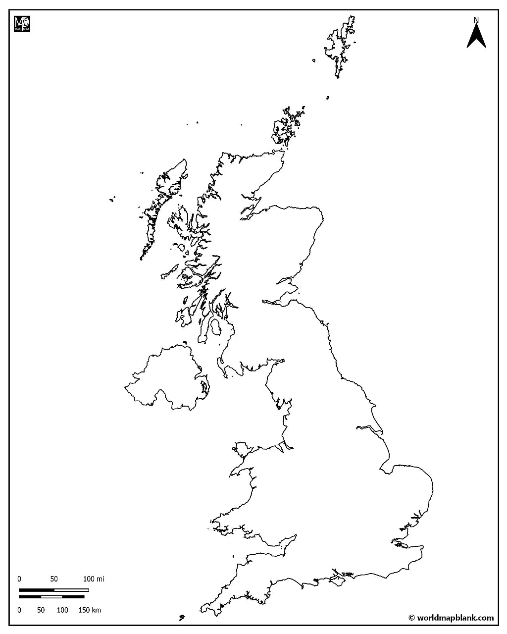
The image below shows the printable outline map of the UK with its outer borders.

UK Blank Map Bundle and More
The blank map and the outline map are free. The bundle adds more versions of the same map:
- Blank map of the UK
- UK outline map
- Blank map of the UK with capitals
- Blank map of the UK and Ireland
- Blank United Kingdom map with cities
- Labeled UK map for reference
The bundle includes PDF and JPEG versions of all maps.
The two free downloads are the blank map, which draws the borders between the four countries, and the outline map, which has the coastline only. The capital and city markers are part of the bundle: dots placed on the map without any names, so the sheet still works as an exercise rather than an answer key. The bundle's UK and Ireland version adds the Republic of Ireland, which is the sheet most people actually want when they go looking for a British Isles map.
The 4 Countries of the United Kingdom and Their Capitals
The United Kingdom is made up of four countries, and each one has its own capital city and its own borders on the map.
| Country | Capital | Area | Population |
|---|---|---|---|
| England | London | 130,300 km2 | about 57.7 million |
| Scotland | Edinburgh | 77,900 km2 | about 5.5 million |
| Wales | Cardiff | 20,800 km2 | about 3.1 million |
| Northern Ireland | Belfast | 14,100 km2 | about 1.9 million |
Below that level the UK is divided again into counties, council areas and unitary authorities, but those smaller boundaries are not drawn on this map, which stops at the borders between the four countries.
UK, Great Britain or British Isles: Which Map Do You Need?
These three names are used as if they meant the same place, and they do not. Getting them right is usually the point of the exercise.
| Name | What it covers |
|---|---|
| United Kingdom | A sovereign state: England, Scotland, Wales and Northern Ireland |
| Great Britain | The island holding England, Scotland and Wales. Northern Ireland is not on it |
| British Isles | A group of islands: Great Britain, all of Ireland, the Isle of Man and thousands of smaller islands |
So the free blank map here is a map of the United Kingdom, all four countries including Northern Ireland. For a British Isles sheet you also need the Republic of Ireland, which is what the bundle's UK and Ireland version adds. The Isle of Man and the Channel Islands are Crown dependencies: they sit in the British Isles but are not part of the United Kingdom.
Show the cities marked on the bundle's city map (click to reveal)
Aberdeen, Ayr, Bath, Belfast, Birmingham, Blackpool, Brighton, Bristol, Cambridge, Cardiff, Coventry, Dundee, Dumfries, Edinburgh, Exeter, Glasgow, Inverness, Ipswich, Kingston upon Hull, Kirkwall, Leeds, Lisburn, Liverpool, Londonderry (Derry), London, Luton, Manchester, Middlesbrough, Newcastle, Norwich, Nottingham, Oxford, Penzance, Perth, Peterborough, Plymouth, Portsmouth, Scarborough, Sheffield, Stoke, Swansea, Wick, York.
These are dots on the map, not names, so the city version still works as an exercise.
About the UK's Countries and Geography
The United Kingdom covers about 243,600 square kilometres and holds roughly 68 million people, which makes England alone one of the most densely populated parts of Europe. Ben Nevis in the Scottish Highlands is the highest point at 1,345 metres, ahead of Snowdon in Wales at 1,085 metres, Scafell Pike in England at 978 metres and Slieve Donard in Northern Ireland at 850 metres. The Severn is the longest river at about 354 kilometres, just ahead of the Thames, and Lough Neagh in Northern Ireland is the largest lake by area at 392 square kilometres. Four bodies of water surround the country: the Atlantic, the North Sea, the Irish Sea and the English Channel, along a coastline of roughly 12,400 kilometres, which is why the outline is so deeply indented. The UK has exactly one land border, the roughly 500 kilometres between Northern Ireland and the Republic of Ireland, and its only fixed link to the continent is the Channel Tunnel. Off Scotland lie the Hebrides, Orkney and Shetland, the island groups that most blank maps quietly leave out. Those are the features students are usually asked to place, which is why an unlabeled base map is more useful for practice than a finished one.
Blank Map of the UK Features
- Free blank and outline versions in high-resolution PDF and JPEG
- Sized for A4 and prints on US Letter without cropping
- Black and white line work that prints cleanly on a home or school printer
- Borders between England, Scotland, Wales and Northern Ireland on the blank version, coastline only on the outline version
- Hebrides, Orkney and Shetland included, not cropped off the top
- North arrow and a distance scale in both miles and kilometres
- Bundle versions with capital and city markers and with the Republic of Ireland
- Suitable for geography lessons, map quizzes, homeschooling, revision and travel journals
Frequently Asked Questions
Answers to the questions people ask most about the free blank map of the UK.
What is the difference between the UK, Great Britain and the British Isles?
The United Kingdom is a country made up of England, Scotland, Wales and Northern Ireland. Great Britain is the island that holds England, Scotland and Wales, so it leaves Northern Ireland out. The British Isles is a geographical group that includes Great Britain, the whole of Ireland and the Isle of Man. This free map shows the United Kingdom, all four countries.
Does the map show UK counties?
No. The blank map draws the borders between England, Scotland, Wales and Northern Ireland, not the counties, council areas or unitary authorities beneath them. The country borders are what most school exercises ask for.
What is the difference between the blank map and the outline map?
The blank map is a political map: it draws every border between the four countries of the UK but names none of them. The outline map has no internal borders at all, just the coastline and the islands, which is the version people use for tracing and for drawing in their own features.
Can I print the map of the UK in A4 size?
Yes, every file is sized for A4 and prints on US Letter without cropping. The PDF keeps its line quality when enlarged, so the same download also works for a poster-size print or a classroom wall chart.
Is the blank map of the UK free to download?
Yes, the blank map and the outline map are free in PDF and JPEG, with no sign-up. The bundle with the capital markers, the city markers and the UK and Ireland version is a small one-off price.
How to Get Your Printable Map
- Choose the version you want above.
- Click "Download now" for a free map, or add the bundle to your cart and check out.
- Get your files instantly, then print or annotate them.
Who It's For
Students revising for map tests, teachers building classroom materials and quizzes, homeschooling parents, and travellers marking the places they have been.
Download your blank map of the UK now and use it for learning, geography practice, or your own map projects.


Scarica la mappa gratuita
Inserisci il tuo indirizzo e-mail e dicci come intendi utilizzare la mappa. Il download inizierà immediatamente.