

🇩🇪 Blank Map of Germany
🇩🇪 Blank Map of Germany
Kan beschikbaarheid voor afhalen niet laden
Voeg meer kaarten toe aan je winkelwagen om ze allemaal in één keer te downloaden.
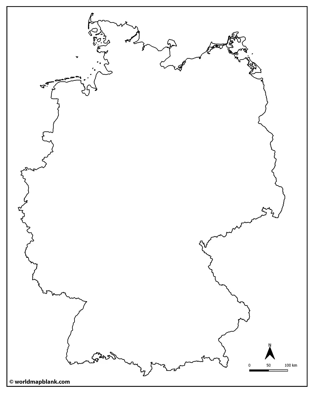
This blank map of Germany is a printable outline of all 16 federal states, their borders, and the neighboring countries, set up for A4 and printable on US Letter. Download it below as a PDF or JPEG for classroom use, worksheets, quizzes, or study.
Explore our other blank country maps, or add a blank map of Austria and a blank map of Switzerland for regional practice.
Blank maps work well for classroom activities, geography quizzes, Germany worksheets, and creative projects like coloring or marking visited places. This download includes a free blank map with state borders and a free outline map, plus a bundle with six map variations.
The map below shows a blank map of Germany with the North Sea, the Baltic Sea, and the neighboring countries.

Germany Map Bundle and More
Each Germany map comes in high-resolution PDF and JPEG, ready to print and use straight away. The Germany blank map bundle includes six variations for different learning and reference needs:
- Blank map of Germany with states
- Germany outline map
- Blank map of Germany with states and neighboring countries
- Blank Germany map with cities
- Germany outline map with neighboring countries labeled
- Blank Germany map with North Sea and Baltic Sea
The two free downloads are the blank map, which draws the borders, and the outline map, which has the outer outline only. The capital and city markers are part of the bundle: dots placed on the map without any names, so the sheet still works as an exercise rather than an answer key.
The bundle includes PDF and JPEG versions of all maps.
16 Federal States of Germany and Their Capitals
The versions with capitals show all 16 federal states of Germany and mark each state capital. Germany's states range from Bavaria, with its capital Munich, in the south to Schleswig-Holstein, with its capital Kiel, on the northern coast. The full list of states and capitals is below.
| Federal state | Capital |
|---|---|
| Baden-Württemberg | Stuttgart |
| Bavaria | Munich |
| Berlin | Berlin |
| Brandenburg | Potsdam |
| Bremen | Bremen |
| Hamburg | Hamburg |
| Hesse | Wiesbaden |
| Lower Saxony | Hanover |
| Mecklenburg-Western Pomerania | Schwerin |
| North Rhine-Westphalia | Dusseldorf |
| Rhineland-Palatinate | Mainz |
| Saarland | Saarbrücken |
| Saxony | Dresden |
| Saxony-Anhalt | Magdeburg |
| Schleswig-Holstein | Kiel |
| Thuringia | Erfurt |
Show all 47 cities on the map with city markers (click to reveal)
The blank map with cities adds markers for Aachen, Augsburg, Bamberg, Bielefeld, Bonn, Braunschweig, Bremerhaven, Chemnitz, Cottbus, Darmstadt, Dortmund, Dusseldorf, Erlangen, Essen, Frankfurt, Freiburg, Fürth, Gera, Göttingen, Hagen, Halle, Hanover, Heilbronn, Hildesheim, Ingolstadt, Jena, Karlsruhe, Kassel, Koblenz, Leipzig, Lübeck, Mannheim, Münster, Nürnberg, Oldenburg, Osnabrück, Paderborn, Regensburg, Reutlingen, Rostock, Salzgitter, Siegen, Trier, Ulm, Wiesbaden, Wolfsburg, and Würzburg.
About Germany's States and Geography
Germany is a federal republic made up of 16 states, three of which, Berlin, Hamburg, and Bremen, are city-states that form a single city and state at once. Germany borders nine countries: Denmark, Poland, the Czech Republic, Austria, Switzerland, France, Luxembourg, Belgium, and the Netherlands. Its northern coast meets the North Sea and the Baltic Sea, while the Rhine, the Elbe, and the Danube are its major rivers and the Bavarian Alps rise along the southern border.
Blank Map of Germany Features
- Free blank version with state borders, plus a plain outline version
- Versions with markers for all 16 state capitals
- City markers in selected versions
- Versions with the North Sea, Baltic Sea, and neighboring countries
- High-resolution PDF and JPEG, set up for A4 and printable on US Letter
- Suitable for education, reference, and study projects
Frequently Asked Questions
Answers to the questions people ask most about the free blank map of Germany.
How many states does Germany have?
Germany has 16 federal states, and each one has its own capital. Three of these states, Berlin, Hamburg, and Bremen, are city-states.
Which countries border Germany?
Germany borders nine countries: Denmark, Poland, the Czech Republic, Austria, Switzerland, France, Luxembourg, Belgium, and the Netherlands.
What is the capital of Germany?
The capital of Germany is Berlin, one of the country's three city-states, with about 3.7 million residents.
Is the blank map of Germany free to download?
Yes, the blank map of Germany is free to download in PDF and JPEG. You can choose a blank version with state borders or a plain outline version, both at no cost.
Can I print the map on US Letter or A4?
Yes. The blank map of Germany comes as an A4 PDF that prints cleanly on US Letter.
How to Get Your Printable Map
- Choose the map version you want above.
- For a free map, click "Download now". For the bundle, add it to your cart and check out.
- Get your files instantly.
Who It's For
The blank map of Germany is ideal for students, teachers, homeschoolers, and travelers. It works well for labeling exercises, geography worksheets, study projects, and regional map practice.
Complete your collection with a labeled map of Germany, or explore our German post code areas map.
Download your blank map of Germany now and start using it for learning, geography practice, or your own projects.


Download je gratis kaart
Vul je e-mailadres in en vertel ons hoe je de kaart gaat gebruiken. Je download begint direct.