France Map Worksheets: Regions, Capitals & Cities
3,99 €
- Pack of 3 map worksheets (1 or 2 pages)
- Answer keys for all worksheets
- Printable PDF and editable Canva versions
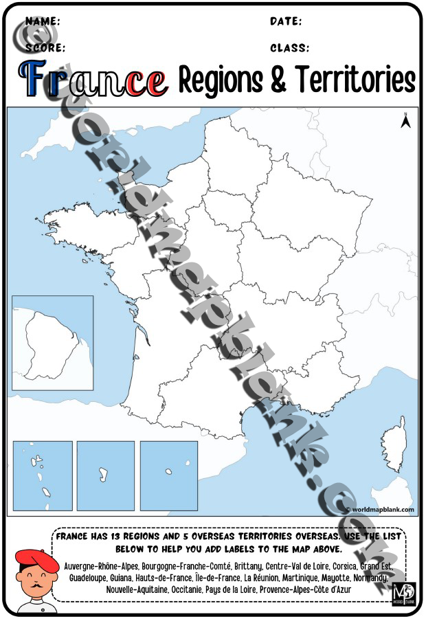
- 5 blank maps of France (A4 and A5)
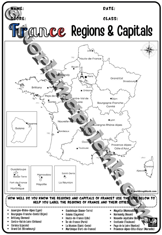
- Political Map of France for Reference
- Immediate download after purchase
Description
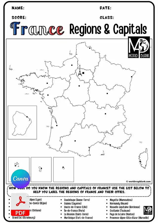
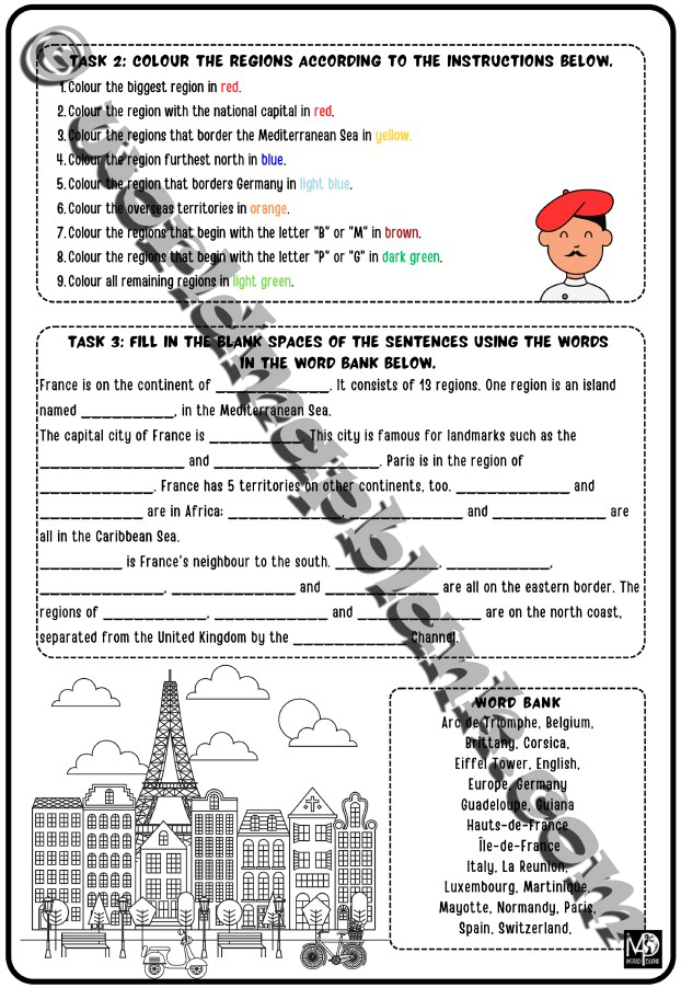
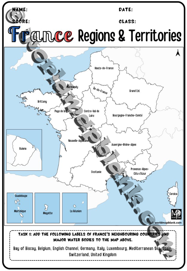
Here is our comprehensive France map worksheet pack for exploring and learning about the geography of France! Whether you’re an educator, a parent, or a student, this pack is designed to provide you with everything you need to learn about the states, capitals, overseas territories, and major cities of France.
With this pack, you’ll receive a collection of meticulously crafted and informative worksheets for immediate download. The ready-made, printable PDF files allow for effortless exercise planning with engaging and interactive exercises. No need to wait for shipping! Purchase, download, and print!
Each worksheet is based on a blank map of France with all the details for the relevant tasks. And, of course, memo pages with all the correct answers are also provided!
We also offer customizable Canva versions of each worksheet to provide even more versatility. Whether you prefer to personalize the content, rearrange the layout, or add additional information, these editable Canva versions allow you to tailor the worksheets to your needs. This flexibility makes the pack ideal for educators looking to incorporate France’s geography into their lesson plans or for parents who wish to provide their kids with a customized learning experience.
But that’s not all! We understand that practicing from blank maps can significantly enhance the understanding of France’s geography. While we provide free blank maps of France for individual download, we have included the best in this pack. No need to download them manually! Just print these maps and use them to test your students’ knowledge. They are great resources to label the regions and cities and further reinforce understanding of France’s geographical features.
Whether teaching in school or at home, preparing for a geography quiz, planning a trip to France, or simply expanding your knowledge of the world, our France map worksheet pack is your ultimate companion. With its comprehensive content, immediate accessibility, and customizable options, this pack is a valuable resource for learners of all ages and backgrounds.
Get our France map worksheets pack now to learn and teach about this great European country!
Content:
- 3 France map worksheets (1 or 2 pages)
- Answer key pages
- 5 blank maps of France (each in A4 and A5 size)
- Political map of France (for reference)
Features:
- Immediate download after purchase
- PDF files for direct printing
- Editable Canva templates
- No need to manually download single maps
Additional Information:
- Designed by our educational content creator Lana
- Please read our Licensing Terms for purchased products
- Also refer to our Terms of Use, Disclaimer, Cookie Policy, and Privacy Policy
Only logged in customers who have purchased this product may leave a review.
Related products
-
Sale
UK Map Worksheets: Countries, Capitals & Cities
Original price was: 3,99 €.2,99 €Current price is: 2,99 €.


Reviews
There are no reviews yet.