
🇫🇷 Blank Map of France
🇫🇷 Blank Map of France
Couldn't load pickup availability
Add multiple maps to the cart to download them all at once.
Blank Map of France for Practice, Learning, or Projects
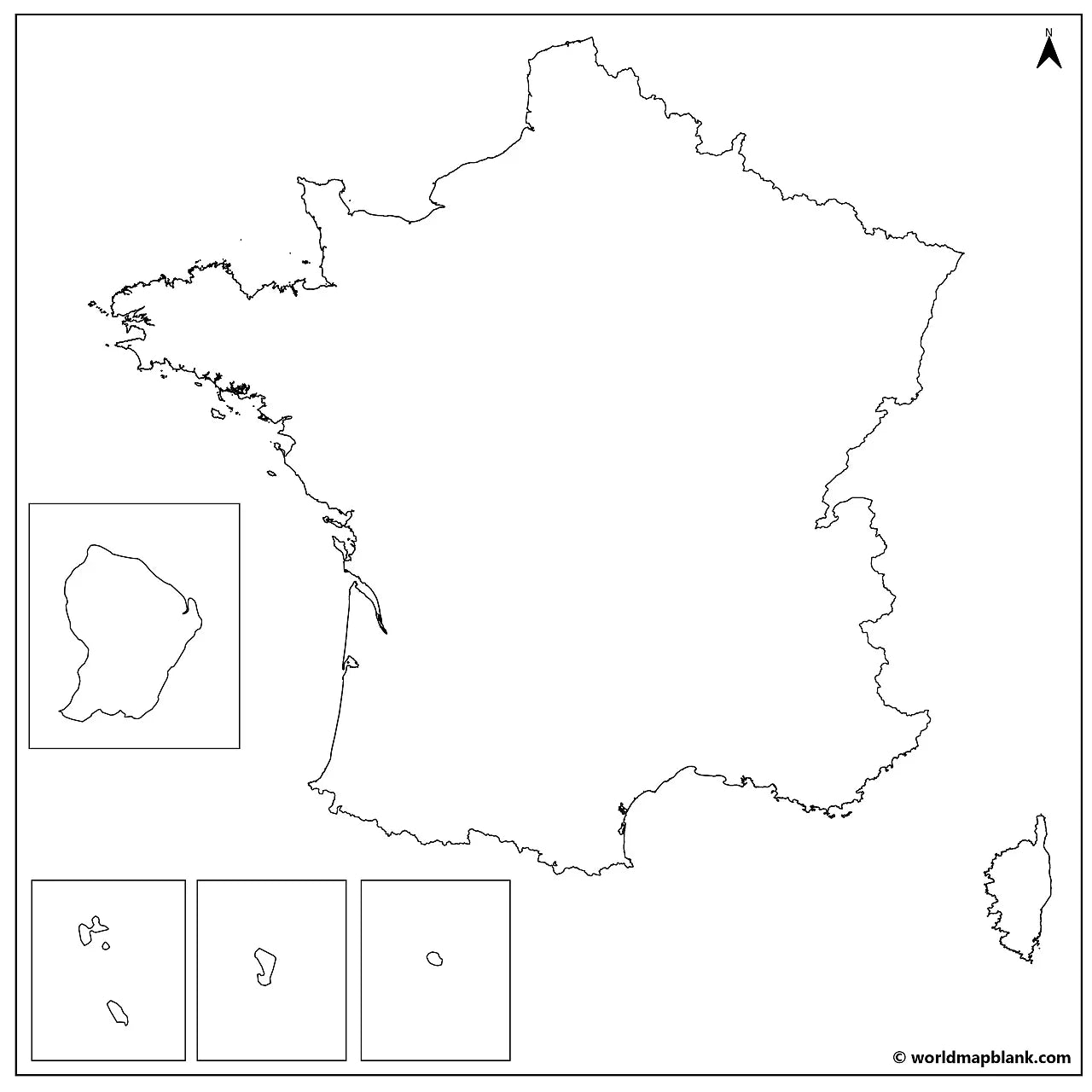
The blank map of France is a printable outline of all 18 French regions and their regional capitals, from the 13 metropolitan regions to the 5 overseas regions, set up for A4 and printable on US Letter. Download it below in PDF and JPEG for classroom use, worksheets, quizzes, or study.
Explore our other blank country maps, or add a blank map of Germany, Belgium, or Spain for regional practice.
Blank maps work well for classroom activities, geography quizzes, France worksheets, and creative projects like coloring or marking visited regions. This download includes a free blank map with regional borders and a free outline map, plus a bundle with more labeled and themed versions.
The map below shows a blank map of France with its regional borders and markers for the regional capitals.

France Map Bundle and More
Each France map comes in high-resolution PDF and JPEG, ready to print and use straight away. The France blank map bundle includes several variations for different learning and reference needs:
- Blank map of France with regions
- France outline map
- Blank map of France with region capitals
- Blank France map with cities
- France outline map with seas and neighboring countries
- France labeled map for reference
The bundle includes PDF and JPEG versions of all maps.
18 Regions of France and Their Capitals
The labeled versions show all 18 regions of France and mark each regional capital: 13 regions in metropolitan (mainland) France and 5 overseas regions. The full list is below.
Metropolitan France (13 regions)
| Region | Regional capital |
|---|---|
| Auvergne-Rhône-Alpes | Lyon |
| Bourgogne-Franche-Comté | Dijon |
| Brittany | Rennes |
| Centre-Val de Loire | Orléans |
| Corsica | Ajaccio |
| Grand Est | Strasbourg |
| Hauts-de-France | Lille |
| Île-de-France | Paris |
| Normandy | Rouen |
| Nouvelle-Aquitaine | Bordeaux |
| Occitanie | Toulouse |
| Pays de la Loire | Nantes |
| Provence-Alpes-Côte d'Azur | Marseille |
Overseas regions (5)
| Region | Regional capital |
|---|---|
| French Guiana | Cayenne |
| Guadeloupe | Basse-Terre |
| Martinique | Fort-de-France |
| Mayotte | Dzaoudzi |
| Réunion | Saint-Denis |
Show all 43 French cities on the map with city markers (click to reveal)
The blank map with cities adds markers for Agen, Ajaccio, Auxerre, Basse-Terre, Bastia, Béziers, Bordeaux, Bourges, Brest, Brive, Cayenne, Calais, Cherbourg, Dieppe, Dijon, Dzaoudzi, Fort-de-France, Grenoble, La Rochelle, Le Havre, Le Mans, Lille, Lorient, Lyon, Marseille, Mulhouse, Nantes, Nevers, Nice, Nîmes, Orléans, Paris, Rennes, Rouen, Saint-Denis, Saint-Étienne, Strasbourg, Toulon, Toulouse, Tours, Troyes, Versailles, and Vichy.
About France's Regions and Geography
France is a republic of 18 regions: 13 in metropolitan (mainland) France and 5 overseas regions in the Caribbean, South America, and the Indian Ocean. Metropolitan France borders eight countries: Belgium, Luxembourg, Germany, Switzerland, Italy, Monaco, Andorra, and Spain. Its coasts meet the Atlantic Ocean, the English Channel, and the Mediterranean Sea, while the Seine, the Loire, the Rhône, and the Garonne are its major rivers. The Alps and the Pyrenees rise along its eastern and southern borders, and Mont Blanc, in the Alps, is the highest peak in Western Europe.
Blank Map of France Features
- Free blank version with regional borders, plus a plain outline version
- Labeled versions mark all 18 regional capitals
- City markers in selected versions
- Versions with seas and neighboring countries
- High-resolution PDF and JPEG, set up for A4 and printable on US Letter
- Suitable for education, reference, and study projects
Frequently Asked Questions
Answers to the questions people ask most about the free blank map of France.
How many regions does France have?
France has 18 regions: 13 in metropolitan France and 5 overseas. Each region has its own regional capital.
What are France's overseas regions?
France's five overseas regions are French Guiana, Guadeloupe, Martinique, Mayotte, and Réunion. They hold the same status as the regions in metropolitan France.
Which countries border France?
Metropolitan France borders eight countries: Belgium, Luxembourg, Germany, Switzerland, Italy, Monaco, Andorra, and Spain.
What is the capital of France?
The capital of France is Paris, which is also the capital of the Île-de-France region.
Is the blank map of France free to download?
Yes, the blank map of France is free to download in PDF and JPEG. You can choose a blank version with regional borders or a plain outline version, both at no cost.
How to Get Your Printable Map
- Choose the map version you want above.
- For a free map, click "Download now". For the bundle, add it to your cart and check out.
- Get your files instantly.
Who It's For
The blank map of France is ideal for students, teachers, homeschoolers, and travelers. It works well for labeling exercises, geography worksheets, study projects, and regional map practice.
Complete your collection with a labeled map of France, or explore our France worksheets with regions and regional capitals.
Download your blank map of France now and start using it for learning, geography practice, or your own projects.


Download your free map
Enter your email and tell us how you'll use the map. Your download starts immediately.