-
Printable Blank World Map
Regular price $0.00 USDRegular priceUnit price per -
World Map with Oceans and Seas
Regular price From $0.00 USDRegular priceUnit price per$11.97 USDSale price From $0.00 USDSale -
World Map with Latitude and Longitude
Regular price From $0.00 USDRegular priceUnit price per -
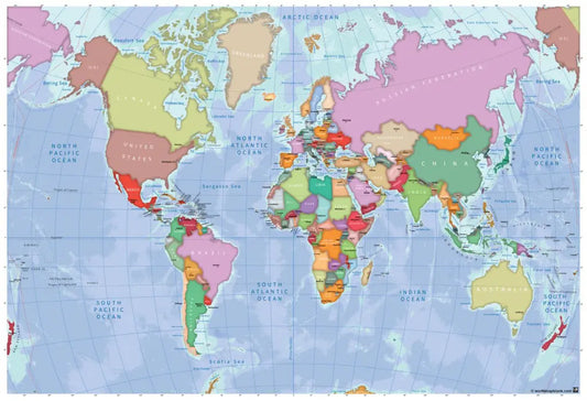
Political World Map
Regular price From $0.00 USDRegular priceUnit price per -
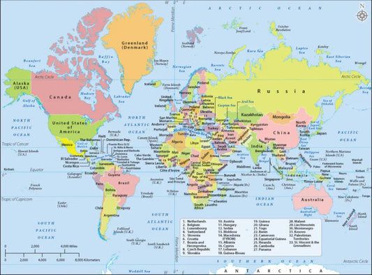
Labeled World Map
Regular price $0.00 USDRegular priceUnit price per -
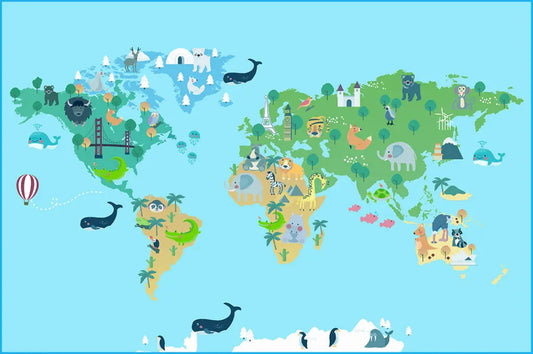
World Map for Kids
Regular price From $0.00 USDRegular priceUnit price per -
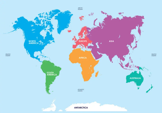
World Map with Continents
Regular price $0.00 USDRegular priceUnit price per -
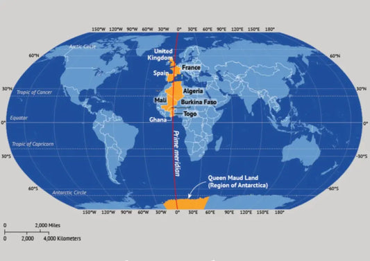
World Map with Prime Meridian
Regular price $0.00 USDRegular priceUnit price per