Printable Blank Map of Bhutan – Outline Transparent PNG map
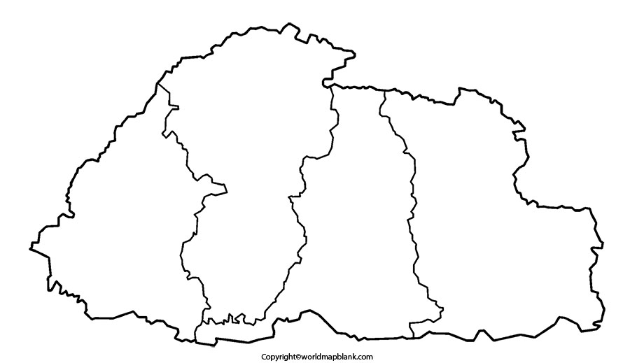
Students and researchers find that a Blank Map of Bhutan can be used as an interactive source for learning the geographical details of that country with map drawing skills. While referring to the map of Bhutan, they can learn that this country is officially recognized as the Kingdom of Bhutan. The other name given to this country is, Druk Yul, which means, Land of Thunder Dragon. Bhutan is a land-locked country located on the southern slopes of the eastern Himalayas.
Blank Map of Bhutan – Outline
It has well-defined borders with Sikkim in the west, West Bengal, and Assam in the south, and in the east, it has borders with Arunachal Pradesh. Bhutan also shares borders with China, in the north. The total land area of Bhutan is 38,117 square kilometers or 14,717 square miles. The geographical landscape of Bhutan reflects that it has mountainous terrain interspersed with fertile valleys. As on Thursday, May 13, 2021, the current population of Bhutan stands at 778,916, which is based on the latest data of the United Nations.
It can be observed that a user can print a Bhutan blank map outline document after downloading it from the web. The user can make use of this map outline as a guide to draw the outer boundary lines of Bhutan. Thereafter, other details, such as rivers, mountains and cities, can be marked and labeled using different color configuration as a part of homework assignment. School teachers can access Bhutan blank map outline, take out a number of prints and distribute to students attending class room sessions of geography lessons.
Printable Map of Bhutan
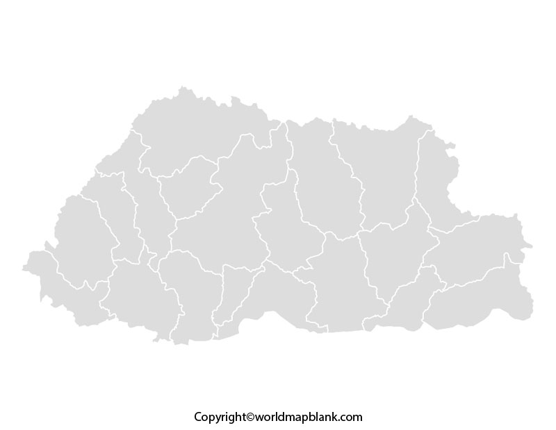
Without drawing a complete map of Bhutan manually, students nowadays want to have a quick and accurate view of the geography of Bhutan. Here, they can access a fully printable map of Bhutan from the web and obtain its print. This printable map of Bhutan assists the user to learn and explore all the aspects of this country. This printable map aims to reduce the efforts of users and offer them solutions as it is readily usable.
Blank Map of Bhutan for Practice Worksheet
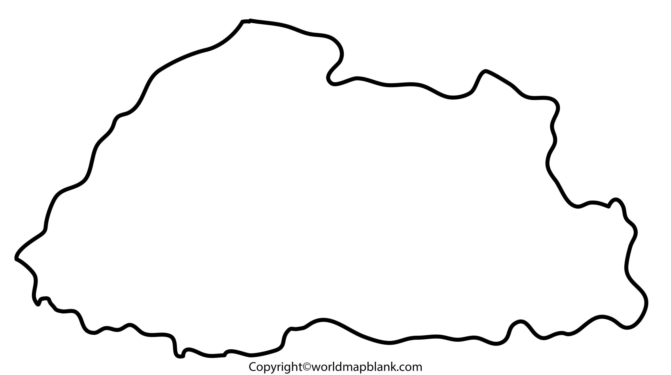
A practice worksheet map of Bhutan is a wonderful document as it covers every geographical detail of the country. This worksheet is downloadable and has twenty in-depth pages, which can be printed, easily. This worksheet of Bhutan is found to be a ready to use document designed for teaching students about the country. They can answer all the questions given in the worksheet as a part of practice exercise that helps to prepare for completing classroom assignments.
Transparent PNG Bhutan Map

A transparent PNG Bhutan map can be observed as one such map wherein the user will be able to observe the complete geographical details of Bhutan. The user can also visualize a particular object or region of importance and study its characteristic or topographical features from this map. The transparent PNG Bhutan map is found to be very useful to execute research projects and assignments, associated with the geography of the country.
Related Posts


