Olha Bosenko – Expert Cartographer and GIS Specialist
One of our highly skilled cartographers and GIS specialists contributing to World Map Blank is Olha Bosenko from Ukraine. With an exceptional educational background and years of practical experience, she combines artistry with precision, transforming geographical data into visually striking and informative maps. Her hand-drawn maps and detailed GIS representations prove the craftsmanship of a dedicated professional.
Educational Background:
- Donetsk National Technical University (2000–2005): Olha pursued an in-depth study in Geographic Information Systems and Technology. Completing her journey with distinction, she graduated with a Master's degree, reinforcing her stature as a certified GIS specialist.
- Further training: In addition to her Master's degree as a GIS specialist, Olha has acquired certifications from various training courses on topics like the Fundamentals of GIS and GIS Data Formats, Design and Quality (University of California, Davis), Cartography (esri), and Maps and the Geospatial Revolution (Penn State University).
Professional Experience:
- Freelancer as GIS Cartographer, Graphic Designer, and Mapping Illustrator: Throughout her freelancing journey, Olha has showcased a diverse portfolio that encapsulates her expertise in various graphic styles. From travel maps and hand-drawn illustrations to precision-driven GIS maps, site plans, and real estate maps, she's proven her adaptability and prowess on many occasions.
- GIS Laboratory (Dec. 2005 – Jan. 2013): Over seven years, Olha deepened her expertise in the GIS realm at the GIS Laboratory. With a focus on cartography, mapping, and data visualization, she gained extensive experience in geocoding locations, digitizing, and georeferencing satellite images. This tenure cemented her place as a specialist in blending technology with design nuances.
Technical Skills and Proficiencies:
- GIS skills:
- ArcGis Suite: Highly proficient in ArcGis Desktop and ArcGis Online, Olha is a master at tasks like cartography, vectorization, and data visualization.
- Database Management: Building and updating digital databases, especially in gdb formats, is second nature to her. She also excels at crafting intricate attribute tables.
- Data Formats: Her versatility extends to handling various geospatial data formats. Whether it's SHP, KML, SVG, or GeoTIFF, Olha ensures seamless integration across different platforms.
- Additional software expertise: Olha's primary design tools include Adobe Illustrator and Adobe Photoshop, allowing her to infuse her maps with simple, stylish vector illustrations that captivate the viewer.
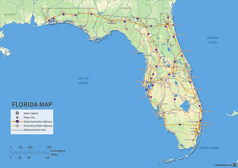
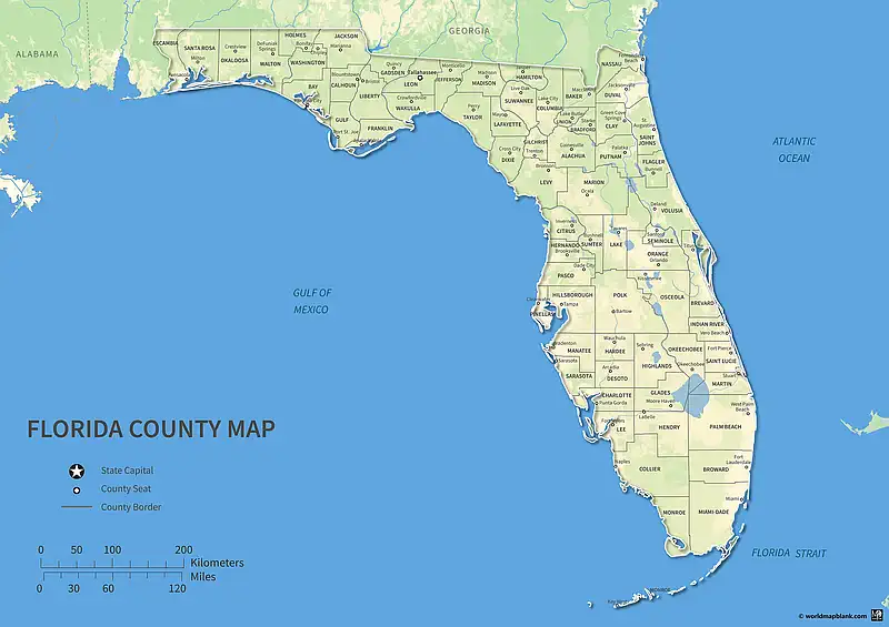
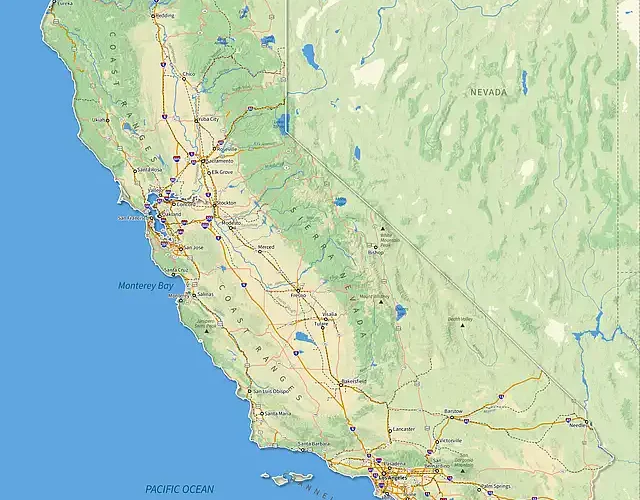
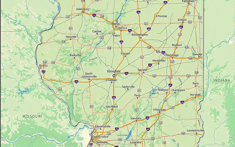
Contributions to World Map Blank: For World Map Blank, Olha has diligently crafted an increasing number of specialized maps, showcasing her extensive expertise. Her contributions include detailed maps of Ukraine and a labeled map of Switzerland, timeline and other maps of the European Union, precise USA interstate highway maps, and European rivers maps. Furthermore, her global cartographic visions are evident in the world maps she's designed, highlighting both oceans and seas and latitudes and longitudes in maps using different map projections.
We are happy to continue working with Olha and publishing more of her high-quality maps here on World Map Blank, ensuring our users always get the best visual geographical content.
More detailed information about Olha is available on LinkedIn, Instagram, and Upwork.
