
🇩🇪 Blank Map of Germany
🇩🇪 Blank Map of Germany
✅ Download gratuito – PDF e JPEG, pronti per la stampa.
Scarica una mappa muta da stampare per l’insegnamento della geografia, fogli di esercizi, attività da svolgere in classe, questionari, programmi di viaggio e molto altro ancora.
Impossibile caricare la disponibilità di ritiro
Aggiungi altre mappe al carrello per scaricarle tutte in una volta.
🗺️ Blank Map of Germany for Practice, Learning, or Projects
Download your free blank map of Germany as a JPEG image and a PDF file. You can also explore our other blank country maps or use a blank map of Austria and a blank map of Switzerland for additional regional practice.
Blank maps are great for classroom activities, geography quizzes, Germany worksheets, or creative projects like coloring, planning trips, or marking visited places.
Whether you're looking for a blank map of Germany with states, a Germany outline map, or a blank Germany map with cities and capitals, this download offers multiple variations for flexible use.
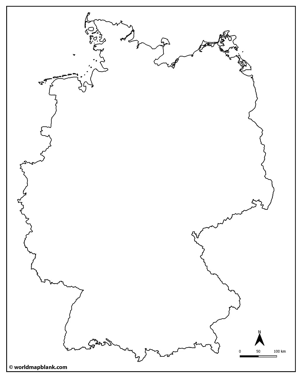
The below image shows a printable blank map of Germany with the North Sea, Baltic Sea, and neighboring countries.

We offer several other versions of a blank map of Germany for free download or as part of the maps bundle.
📁 Germany Map Bundle and More
Each file is available in high-resolution PDF and JPEG formats, ready for download and immediate use.
Available styles:
Or get your Germany blank map bundle, including several variations for different learning and reference needs.
- Blank map of Germany with states
- Germany outline map
- Blank map of Germany with states and neighboring countries
- Blank Germany map with cities
- Germany outline map with neighboring countries labeled
- Blank Germany map with North Sea and Baltic Sea
The bundle includes PDF and JPEG versions of all maps.
🌍 States, Capitals, and Cities of Germany
The maps with states and/or capitals include borders and city markers for:
Baden-Württemberg (Stuttgart), Bavaria (Munich), Berlin (Berlin), Brandenburg (Potsdam), Bremen (Bremen), Hamburg (Hamburg), Hesse (Wiesbaden), Mecklenburg-Western Pomerania (Schwerin), Lower Saxony (Hanover), North Rhine-Westphalia (Dusseldorf), Rhineland-Palatinate (Mainz), Saarland (Saarbrücken), Saxony (Dresden), Saxony-Anhalt (Magdeburg), Schleswig-Holstein (Kiel), and Thuringia (Erfurt).
The blank map with cities also has markers for:
Aachen, Augsburg, Bamberg, Bielefeld, Bonn, Braunschweig, Bremerhaven, Chemnitz, Cottbus, Darmstadt, Dortmund, Dusseldorf, Erlangen, Essen, Frankfurt, Freiburg, Fürth, Gera, Göttingen, Hagen, Halle, Hanover, Heilbronn, Hildesheim, Ingolstadt, Jena, Karlsruhe, Kassel, Koblenz, Leipzig, Lübeck, Mannheim, Münster, Nürnberg, Oldenburg, Osnabrück, Paderborn, Regensburg, Reutlingen, Rostock, Salzgitter, Siegen, Trier, Ulm, Wiesbaden, Wolfsburg, and Würzburg.
✅ Blank Map of Germany Features
- Detailed maps with state borders and capital markers
- City markers in selected versions
- Versions with seas and neighboring countries
- High-resolution PDF and JPEG formats
- Suitable for education, reference, and study projects
🛒 How to Get Your Printable Map
- Add all your preferred map(s) to the cart
- Proceed to checkout
- Download your maps instantly
🎓 Who It's For
A blank map of Germany is ideal for students, teachers, homeschoolers, and travelers. It works well for labeling exercises, geography worksheets, study projects, and regional map practice.
Complete your collection with a labeled map of Germany or explore our German post code areas map.
Download your blank map of Germany now and start using it for learning, geography practice, or your own projects.


Scarica la mappa gratuita
Inserisci il tuo indirizzo e-mail e dicci come intendi utilizzare la mappa. Il download inizierà immediatamente.