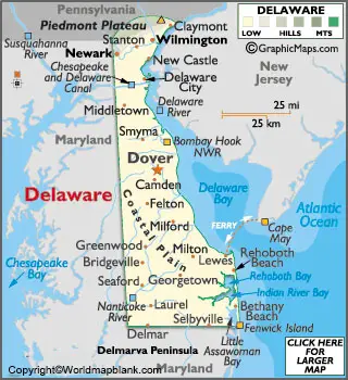
Labeled Map of Delaware with Capital & Cities
Labeled Map of Delaware shows that Delaware is a small Mid-Atlantic state in the US. It is located almost on the northeastern part of the Delmarva Peninsula. Bordering Delaware is New Jersey to the east, across Delaware Bay and Delaware River, and in the southeast, Delaware borders the Atlantic Ocean. In the south as well as in the west, it borders Maryland and along the Mason–Dixon line. With Pennsylvania in the north, Delaware has a short border, which is formed through the Twelve-Mile Circle.
Labeled Map of Delaware
In general, through a detailed labeled map of Delaware, it is possible for the user to understand the boundaries, the location of the state capital city Dover, populated places. The population of Delaware is estimated to be around one million in 2020, based on the current growth rates. However, the population estimate is at 995,764, which is just less than one million.
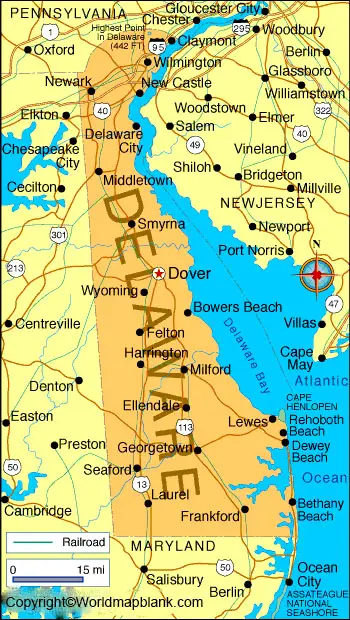
The names of the rivers that flow in Delaware state, include Christina River, Leipsic River, Mispillion River, Murderkill River, Nanticoke River, Smyma River and St. Jones River. The land area occupied by Delaware is 6,446 square kilometers. Major religions followed in the state, include Christianity with Roman Catholics and Evangelical Protestants comprising the largest groups.
Labeled Map of Delaware Printable
As a part of the labeled map of Delaware with states, this state is situated between two physiographic provinces, like the Atlantic Coastal Plain and Appalachian Piedmont. Further, Delaware is divided into three counties, such as Sussex County, New Castle County, and Kent County.
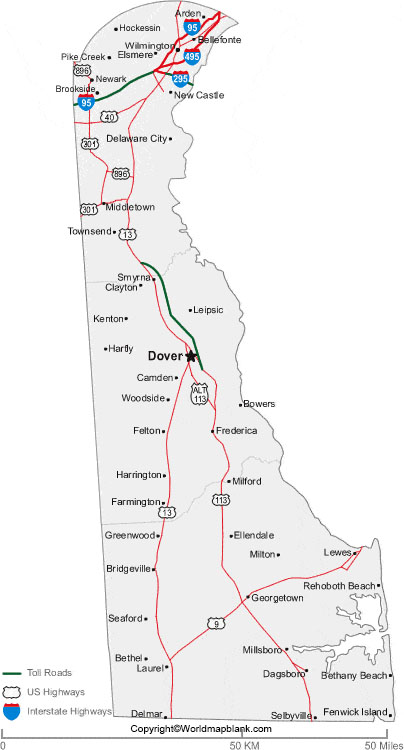
Labeled Map of Delaware with Cities
Through the labeled map of Delaware with cities, the names of the ten large cities, include Milford with a population of 11,799, Smyrna with a population of 11,940, Brookside with a population of 13,191, Hockessin with a population of 13,472, Glasgow with a population of 14,342, Bear with a population of 21,362, Middletown with a population of 23,744, Newark with a population of 34,493, Dover with a population of 38,499 and Wilmington with a population of 70,139.
Labeled Delaware Map with Capital
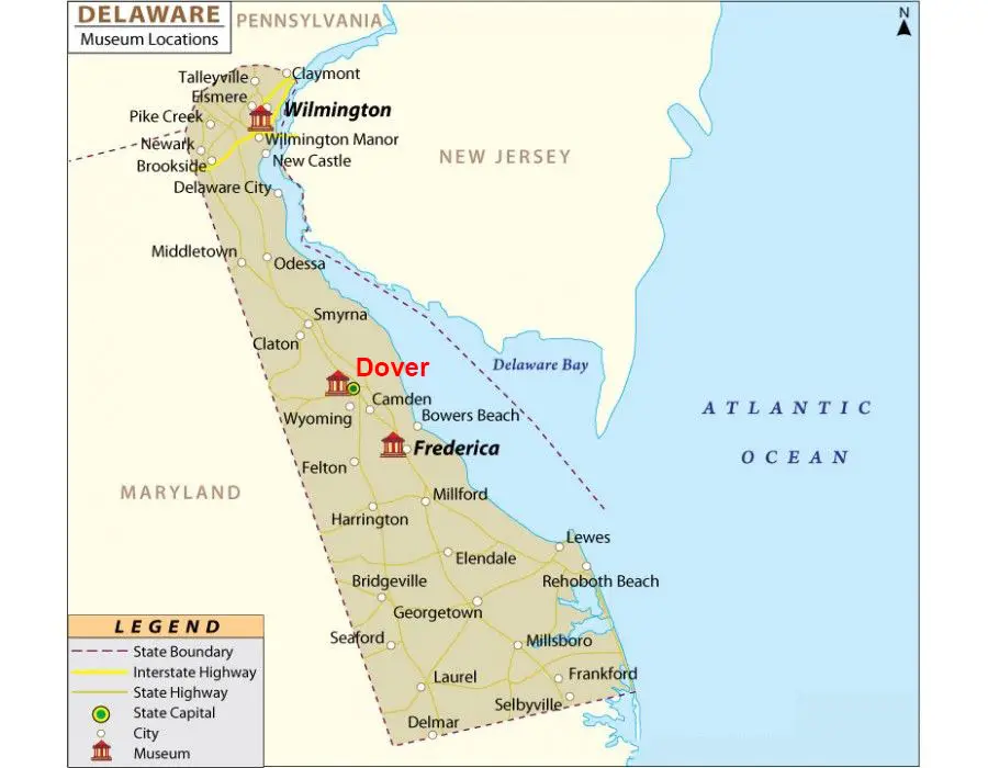
As a part of labeled Delaware Map with capital, Dover is recognized as the capital city of Delaware state. This is the second-largest city in the state, situated on the St. Jones River that flows on the Delmarva Peninsula in the Atlantic Coastal Plain. The city is also located about ten kilometers or six miles towards the west on the coast of Delaware Bay. Dover is also identified as the county seat of Kent County.
Philadelphia and Baltimore are the nearest cities to this capital. In the southeast of Dover city, the largest Air Force Base of the US is located. The city has the Delaware State University, which is a black university, historically. Manufacturing facilities owned by Procter & Gamble and Kraft Foods are available in this city. Major attractions here, include First State Heritage Park, Old State House, and Delaware Legislative Hall.
Related Posts


