Printable Blank Map of Algeria – Outline, Transparent, PNG Map
Blank map of Algeria is available here for all those of our users, who are interested in exploring the geography of this country and having the skills of drawing the full map of Nation.
The people’s Democratic Republic of Algeria or just the Algeria is an African country, which is located on the Northside of the continent. It’s the largest Nation of both the African Union and the Arab world in the terms of its total land area.
Algiers is the capital city of the country which is also the central hub of Algeria. The total population of Algeria is over 44 million people, which makes it the 8th most populous country of Africa.
The demography of Algeria is comprised primarily of Arab Berber people, who attribute nearly 99% of the country’s total population and rest 1% are the mixed immigrants in the country. Arabic and Berber are the two official languages of Algeria.
Algeria is one of those countries which have always restricted the globalization trend in its economy and focused upon the generation of employment within its own territory. The country is having an upper-middle-class income, which means the country have stable development of its economy.
Oil and petroleum has been the main pillar of the Algerian economy, however in the current scenario government are putting efforts on its industrial development as well. The economy of the country has also been open for FDI to generate employment sources for the youth of the country.
In the context of Geography Algeria is known as the largest African country which is much known for its Sahara desert on the Southern side. Northern side is comprised of Tell Atlas and the coastal region of the country is having hills and mountains with the significant fertile area in same region.
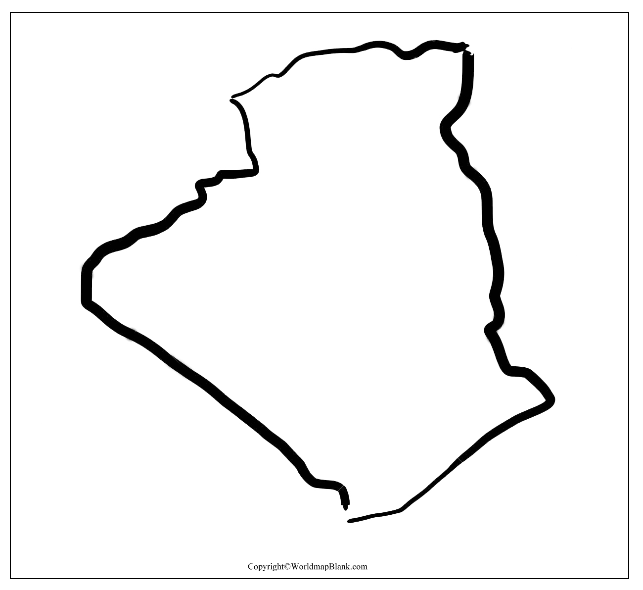
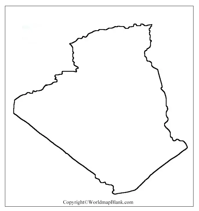
Algeria Blank Map Outline
Most of our users want to draw the full and accurate map of Algeria but they hardly have any source, which can guide them in this course. We are having the blank outlined map of Algeria to guide our those users in the best manner.
This map would provide them with the basic outlined border structure of Algeria so that they can give the outer utmost shape to the country.
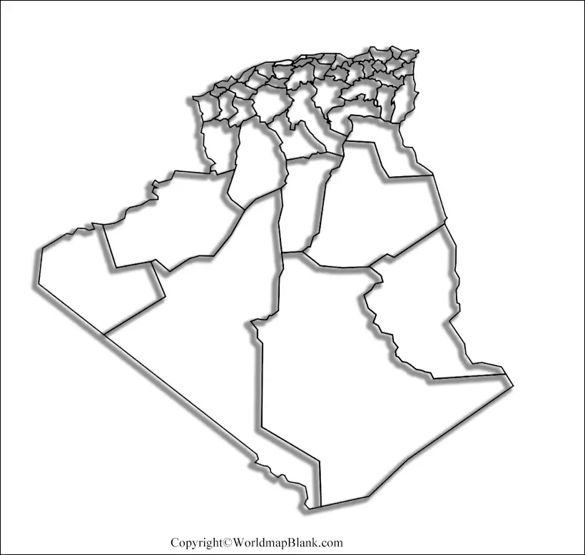
Printable Map of Algeria
Those of our users who want to have quick access of Algerian geography can check out the high definition printable map of Algeria here.
This map is fully printable and readily usable, which means users don’t have to make any efforts on making it ready to use. The map is ideal both for the school teachers and the scholars as well to learn and explore the geography of Algeria.
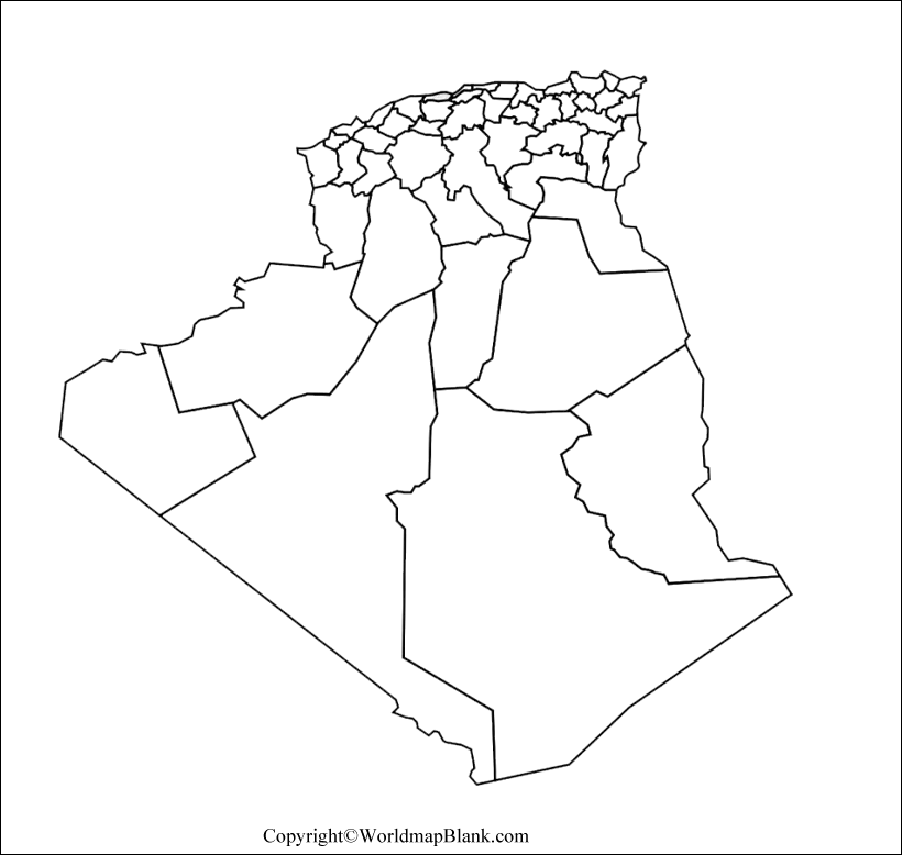
Transparent PNG Algeria Map
Transparent map of Algeria is different from the solid map of the country as the solid map provides only the outer layout of country’s geography, while the transparent map provides fully transparent inside out view of the country.
With this transparent map users can explore any of the country’s objects from the geography of Algeria for research or exploration purposes.
Map of Algeria Practice Worksheet
If you want to assess your level of knowledge about the geography of Algeria, then you can refer to our practice worksheet of the country.
In this practice worksheet you will find some questions concerning the geography of Algeria, which you have to answer with your knowledge. This worksheet can certainly help you in enhancing your knowledge of Algerian geography.
Related Posts


