Printable Blank Map of Antigua and Barbuda [PDF]
Check out our blank map of Antigua and Barbuda and then get to know all about this mesmerizing sovereign state of West Indies.
Antigua and Barbuda is basically a sovereign state or a country of West Indies region. It is made of several islands just like other countries in the West Indies
Being the Caribbean and island nation Antigua and Barbuda is known for its breathtaking beauty. It is one of the best tourism attraction place of Caribbean land.
The country is precisely located between the Atlantic and the Caribbean Sea, which is the central part of West Indies. Antigua and Barbuda are basically the two main islands of the region which derive the name of this state.
There are the numbers of other small islands in the state and some of them are Great Bird, Guiana,York Island etc. St. John is the official capital of Antigua and Barbuda.
Antigua and Barbuda is a relatively small state and it has an estimated population of just nearly 96000 people. The most of state’s population speak English which has been recognised as the national language.
Tour and travel is the core economic sector of the country which attributes the most in its GDP. Further finance and investment banking is the other significant service sector of the state.
We are here below dropping the printable map templates of Antigua and Barbuda state. So, if you want to explore the full geography of this island state then you can surely refer to these templates.
Antigua and Barbuda Blank Map Outline
Blank map of the country is very useful for beginners, who want to draw the map of the state on their own. In this blank outline template, you can find the basic outer structure of the country.
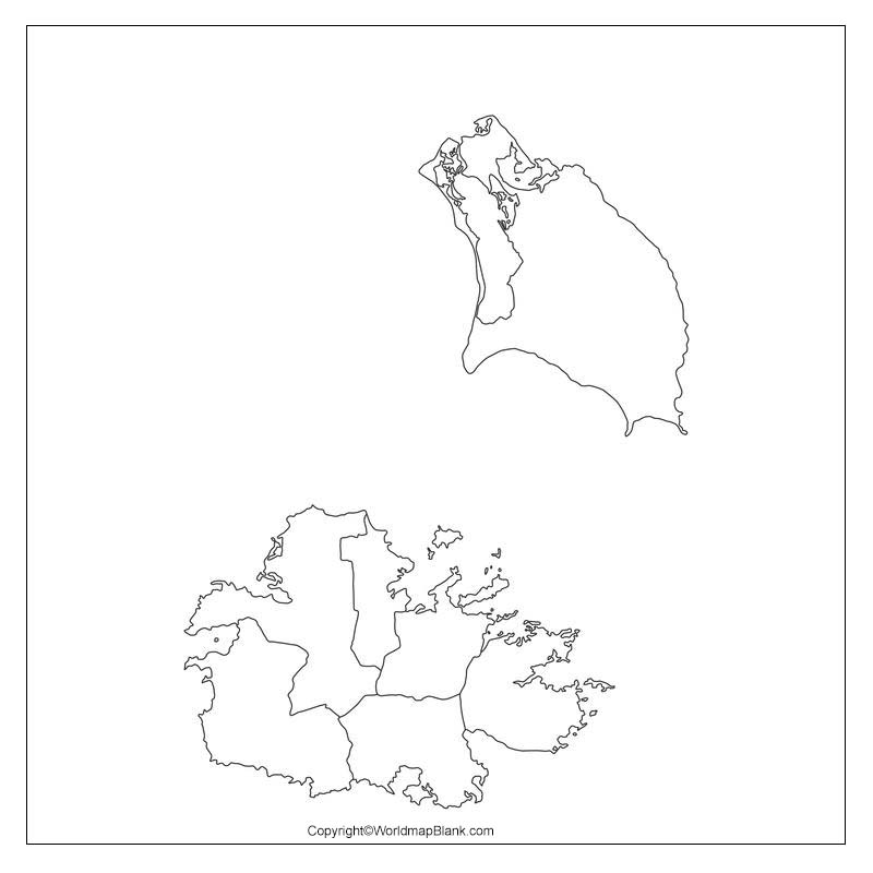
You can draw the full map of the country with our blank outline map of Antigua and Barbuda. In the geography of this state, you can find that both of Antigua and Barbuda are the low lying islands of West Indies. There are numbers of beaches, harbors etc in the shoreline of state.
It’s although an island state yet the region faces the lack of pure groundwater for drinking purposes. You can find plenty of tourist places in the state and explore the sublime beauty of this small island nation.
Printable Map of Antigua and Barbuda
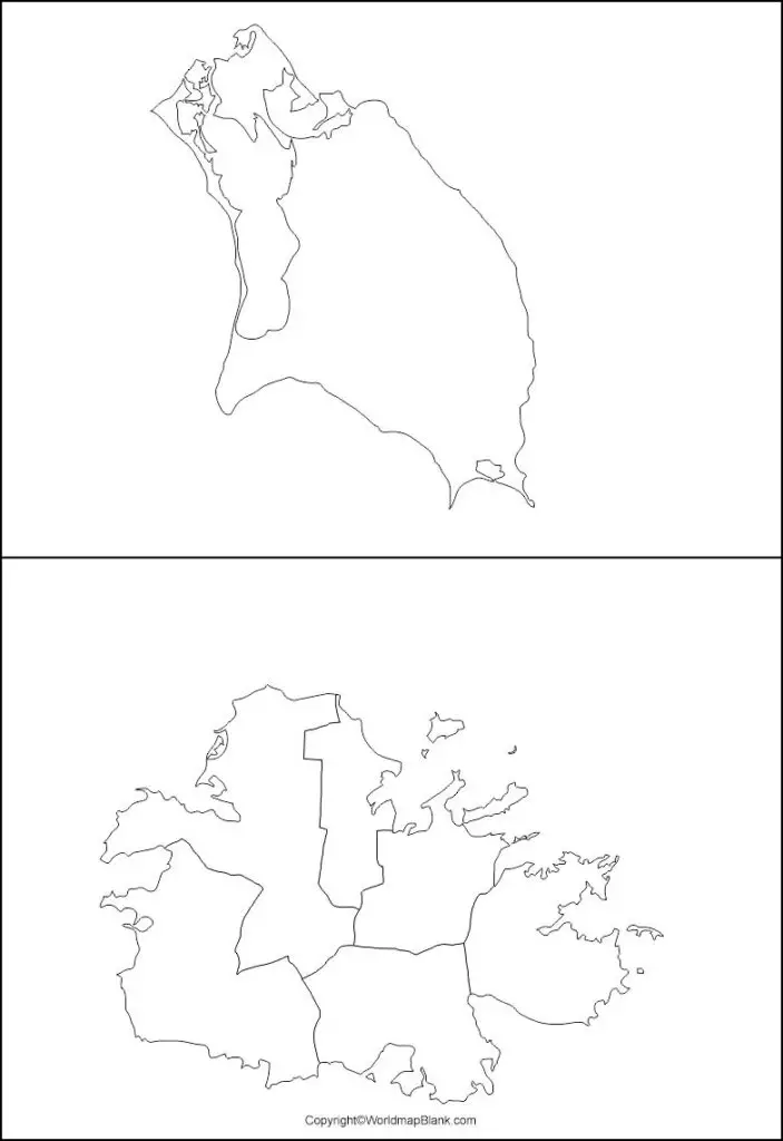
Well, with our printable map of Antigua and Barbuda we basically save significant time and efforts of our users. So, if you are in a hurry and have no time to draw the map of the country then you can just print the full map from here.
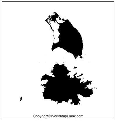
Transparent PNG Antigua and Barbuda Map
Transparent map provides the best view of a geographical object lying in any country unlike the solid maps. You can look up for any particular object of the country from all its angles by using this transparent map.
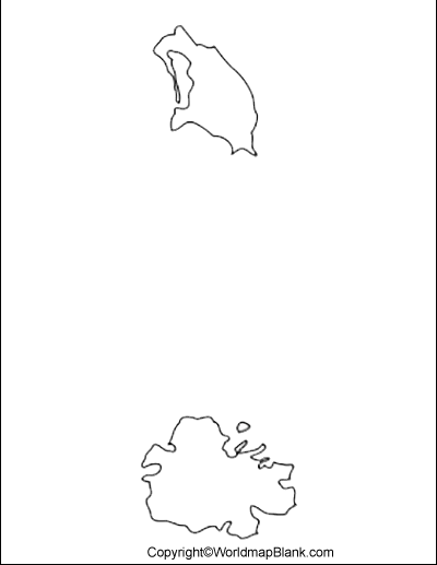
Map of Antigua and Barbuda Practice Worksheet
Here is our fully printable worksheet of Antigua and Barbuda state and you can use it to enhance your geographical knowledge of the state.
If, you are a student then you can use this worksheet as the self test to check the level of your knowledge.
Related Posts


