Printable Blank Map of Missouri – Outline, Transparent, PNG map
A Blank Map of Missouri can be used as the best option to enable anyone to learn properly, and frequently practice the geographical features of this US state. It is possible for the learners through a blank map of Missouri to evaluate themselves and check their learning abilities. A map will provide all the details about the political border of the Missouri state as well as other entities that surround it.
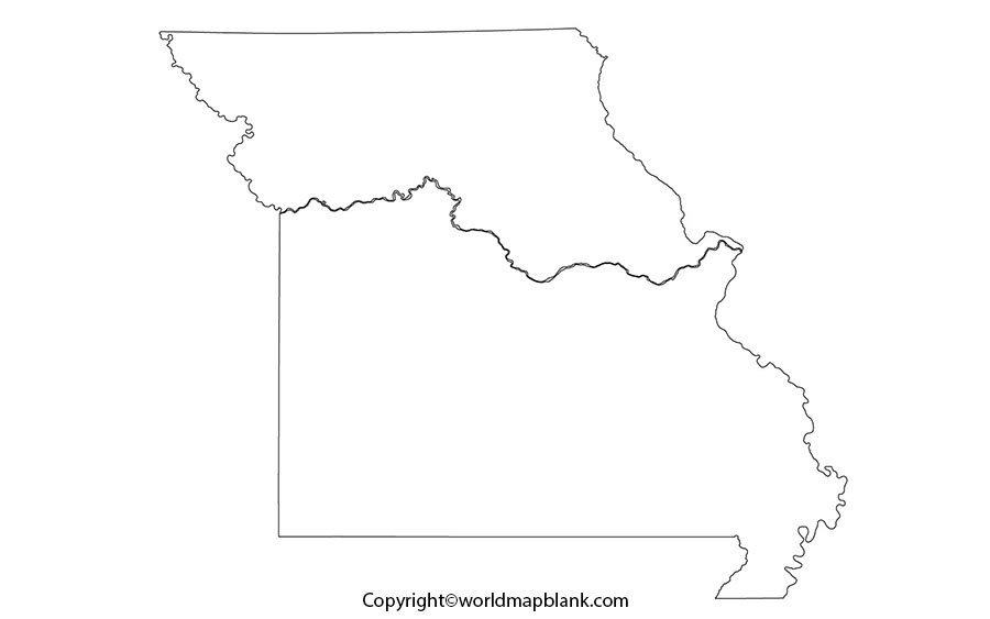
Blank Map of Missouri – Outline
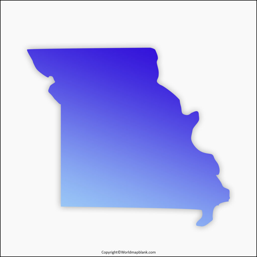
A blank map of Missouri is available in several formats, such as Practice worksheet map of Missouri, Transparent PNG map, Outlined blank map of Missouri, Printable map of Missouri. The user can execute multiple tasks for successful completion of classroom and homework assignments, by referring to these map formats. An outlined blank map of Missouri shows the user only the outer border of the state. This map will help the user to draw, color and identify all the other states bordering it.
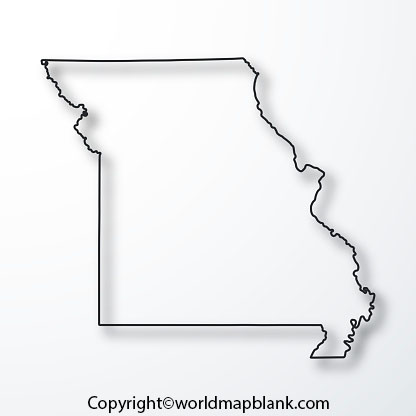
The US state of Missouri is a landlocked state located in the region of Midwestern United States. In the north, Missouri is bordered by Iowa, in the east, and across the river Mississippi, it has borders with Illinois. Other important US states that have borders with Missouri, include Kentucky in the southeast, Arkansas and Tennessee in the south, Kansas and Oklahoma in the west, and Nebraska across the Missouri River, in the northwest. The blank map outline of Missouri is a good option for teachers to educate their pupils, and prepare them for their examination.
Printable Map of Missouri
A Missouri state printable map is available in the format reflecting all the details of the states, cities, rivers, and mountain ranges. It is possible to study about this state along with its political and geographical features. The map can be checked by the user with respect to all details of Missouri state, including the major urban area, the details of the capital city of Missouri, and associated demographic information.
Transparent PNG Blank Map of Missouri
A transparent PNG map of Missouri can be easily downloaded and viewed on the internet for reference and study purposes. Researchers can view the mountains or rivers of Missouri through this transparent PNG Missouri map to understand the details, accurately. A detailed analysis, consisting of statistical data involving the length of rivers, the flow patterns of the river in seasons, climatic variations and assessment of heights of mountains can be prepared by them. It is possible to visualize other geographical objects of the state, as per their project requirements.
Missouri Map worksheet for Practice
Beginners and school going children engaged in the study and learning of the geography of Missouri state, can have a regular practice session to improve their knowledge by working on the map of Missouri map worksheet. This worksheet has been designed with the integration of some general questions from the geography of Missouri, which the users can answer on the basis of their previous knowledge. They can practice answering the questions repeatedly to acquire the desired efficiency in achieving good results in the examination.

