Labeled Map of South Dakota with Capital & Cities
The Labeled Map of South Dakota, provides details about this state as to where this state is situated, in the US. It will also provide the user information about the acquisition of this state from France and its admission to the Union. South Dakota is a landlocked nation situated in the Midwestern region of the Great Plains, in the US. It has borders with North Dakota, in the north. In the south and east, it has borders with Nebraska and Minnesota.
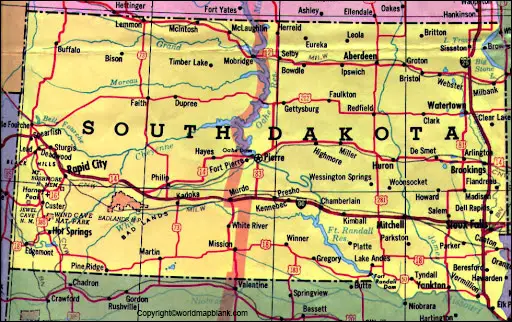
Labeled Map of South Dakota
In the south east, South Dakota has borders with Iowa. Similarly, in the west, it has borders with Montana and Wyoming. By referring to the general labeled map of South Dakota, it is possible to determine and understand the state’s well-defined boundaries that surrounds it, the location of the state capital city, Pierre, other details about populated places and major cities, lakes and rivers, principal highways, major cities, and important railroads.
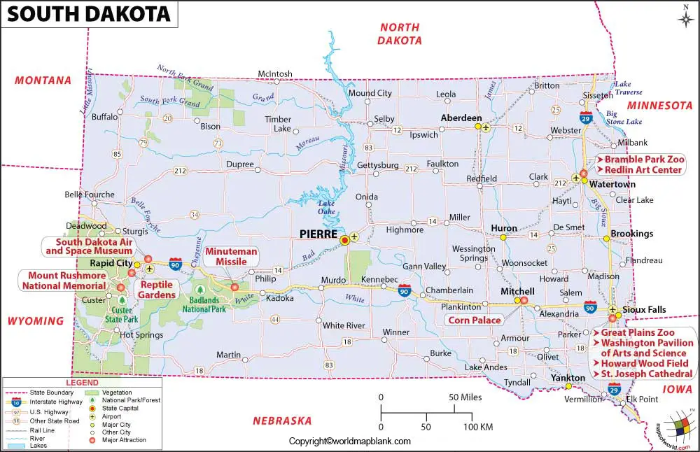
The land area covered by this state is 77,116 square miles or 199,730 square kilometers. When compared, the area of South Dakota is approximately equivalent to two times as big as that of South Korea or Iceland. The estimated population count in this state is about 884,000 people. In comparison to other US states, the area of South Dakota is almost nine times larger than that of New Jersey. Being the longest river in North America, the River Missouri flows through the central region of South Dakota state. Other rivers that flow in the state, include the White River, the Bad River, the Cheyenne River, the Moreau River and the Grand River. Major religions followed include Christianity. This is followed by other religions such as Buddhism, Judaism and Islam.
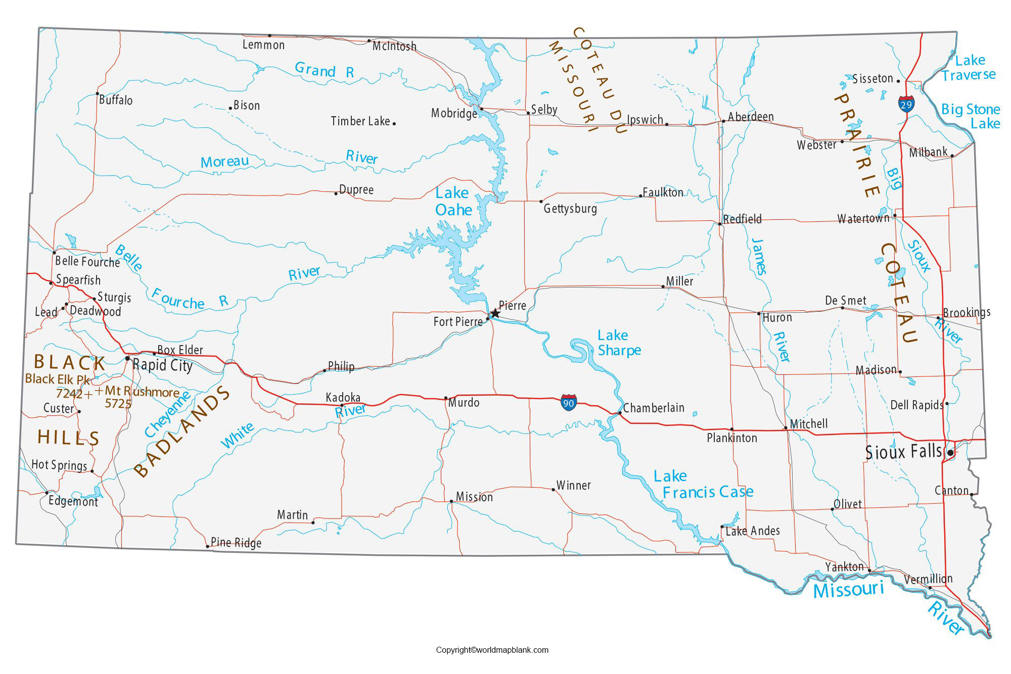
Labeled Map of South Dakota Printable
As a part of the labeled map of South Dakota with states, it can be seen that this state is divided into sixty-six counties. In the state of South Dakota, Jones County is found be the least populous place. The population of this place was estimated to be about 1,006 people.
Labeled Map of South Dakota with Cities
The labeled map of South Dakota with cities, shows that it has cities with a population of more than 20,000 inhabitants. They include Watertown with a population of 22,200, Brookings with a population of 24,000, Aberdeen with a population of 28,400, Rapid City with a population of 74,000, and Sioux Falls with a population of 174,000. The population figures are as per census data of the year 2017.
Labeled South Dakota Map with Capital

The labeled South Dakota with capital, shows that the state capital is Pierre. This is situated in the County of Hughes. The population count of this seat was estimated to be 13,646 people as per census data of the year 2010. The attractions of the city, include the capital building, the governor’s mansion, the Flaming Fountain or the veteran’s memorial, the Cultural Heritage Center, and artesian-fed lake. The South Dakota Discovery Center is famous for an aquarium, including a National Guard Museum.
Related Posts


