Printable Blank Map of Andorra – Outline, Transparent, PNG Map
If, you are willing to explore the geography of Andorra then our blank map of Andorra can certainly be a decent source for you in that course with which you can even learn drawing the full map of this country.
Andorra or officially the Principality of Andorra is basically a Microstate which is the part of the Iberian Peninsula.It shares its border with France and Spain on its Northern and Southern sides.
The Microstate of Andorra was basically created by Charlemagne and it is currently ruled by two prices due to which it’s known as Principality. One of the present ruling kings over Andorra is the President of France itself and the other is Bishop of Urgell.
Andorra is a small nation with an estimated population of approximately 80,000 people. The official capital city of the country is Andorra La Vella and Catalan is the official city which is also the largest one across the Microstate.
Further, talking about the geography of Andorra which is mainly comprised of rugged mountains, since it’s located in Pyrenees range eastern range of mountain.
The climate of region is oceanic and continental in nature with high elevation which keeps summer cooler and brings the excess snow in winters.
Andorra is made of small ethnic groups in its relatively smaller population, which is comprised majorly of Andorrans, Spanish, Portuguese and French people. There is some minor population in the country, which is immigrant in nature and have no citizenship or voting rights.
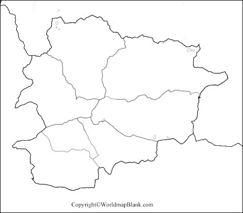
Blank Map of Andorra
Andorra is although a small Nation or Microstate yet drawing the map of its complete geography is still a task of efforts that requires guidance. We provide our users with the utmost guidance by providing them with the blank map of Andorra template.
In this template users can find out the basic outer structure of its geography and following the structure users can draw full map of country in an easy manner.
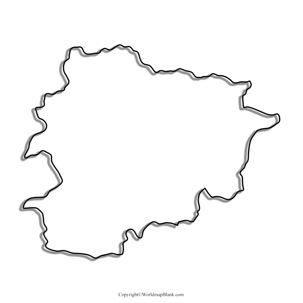
Printable Map of Andorra
We aim to keep our user’s efforts minimized and therefore we provide them with the printable map of Andorra to our users. This map has been drawn in high definition and is effortless, which means users don’t have to make any efforts on its preparation rather they can readily use it.
You can print this map from here and use it across the schooling education or just to explore the geography of Andorra.
Transparent PNG Andorra Map
Transparent map of Andorra is one such map, in which users can have the inside out fully transparent view of Andorra’s geographic objects, such as its mountains, valleys, or famous Gran Valera river.
Furthermore, if you are conducting any research work on its geography, then transparent map is utterly recommended for your such use.

Map of Andorra Practice Worksheet
If user wants to knowledge about geography of country, they can use the Andorra practice worksheet.

If you are a student and want to get better at exploring or studying the geography of Andorra, then you must be having this practice worksheet for your own use. You can share this worksheet with your other friends as well
Related Posts


