Printable Blank Map of Illinois for Free Download [PDF/JPEG]
Are you looking for a free blank map of Illinois? You’ve come to the right place! On this page, you will find several versions of an Illinois outline map, which you can download for free as a high-resolution JPEG image or as a PDF file in both A4 and A5 format. Just choose the map you want and click the relevant download link below the image.
Outline Map of Illinois
Our first map is a simple outline map of Illinois, only showing the outer boundaries of the state. This is our least detailed and most versatile blank Illinois map.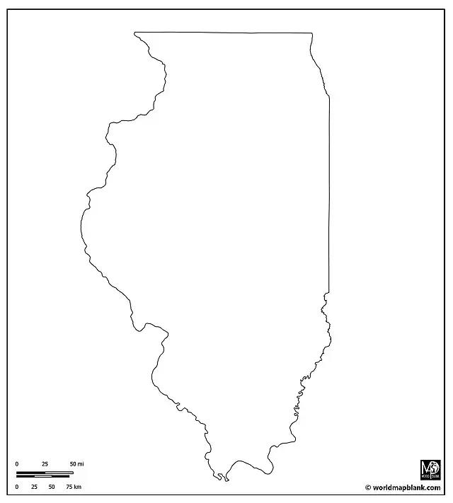
Blank Illinois County Map
Our next map includes all the borders between the 102 counties of Illinois.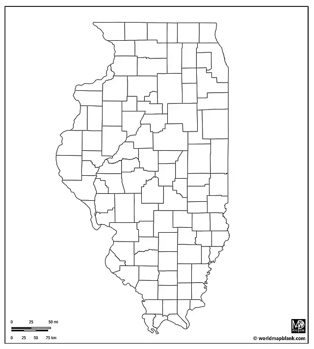
Blank Map of Illinois with County Seats
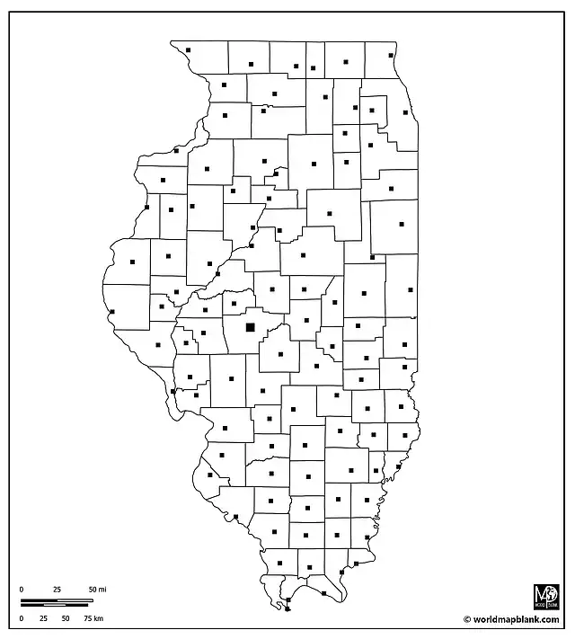
A more detailed variation of our previous map is this blank Illinois map showing the state’s counties with markers for their county seats.
Blank Illinois Map with Cities
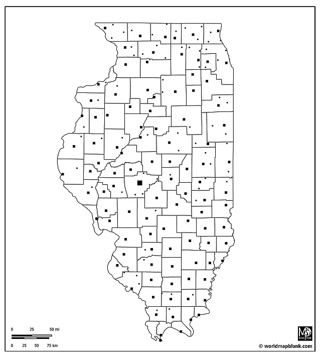
Our following map includes additional cities and towns in Illinois apart from the county seats.
Blank Map of Illinois with Neighboring States
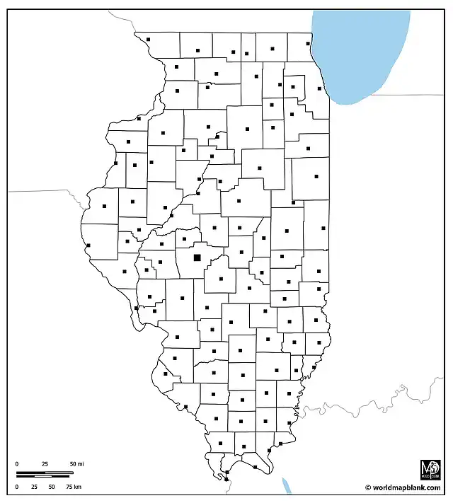
Our final blank map of Illinois again has markers for all the state’s county seats. Additionally, it shows the borders of Illinois’ neighboring states Indiana, Kentucky, Missouri, Iowa, Wisconsin, and Michigan. The southern tip of Lake Michigan is included in the map as well.
More Blank U.S. State Maps
Apart from the Illinois blank maps on this page, we also offer many other U.S. state maps and a blank map of the United States. Here are a few examples for direct access:

