California Outline Map – Blank Map of California [PDF]
Download your California outline map or blank map of California and use it for various educational, professional, or individual interests. All our blank California maps are available as free PDFs, in both A4 and A5 sizes. These maps are ideal for educators, students, explorers, or anyone fascinated by the geography of “The Golden State.”
Additionally, we provide a variety of labeled maps of California as well as other blank USA state maps. You can also find a blank map of the USA on our site and get a collection of United States map worksheets with learning activities about America’s states and state capitals.
California Outline Map
California is the third-largest state in the United States by area, situated on the country’s West Coast. It’s bordered by Oregon to the north, Nevada to the east, Arizona to the southeast, and the Pacific Ocean to the west. Spanning an impressive 163,696 square miles, California is known for its diverse landscapes, including beaches, forests, and deserts. Also, it is the most populous U.S. state, with an estimated population of roughly 39 million (according to the United States Census Bureau).
Our first map offers a precise outline of California’s state borders, serving as an excellent tool for educational purposes such as teaching state geography or history.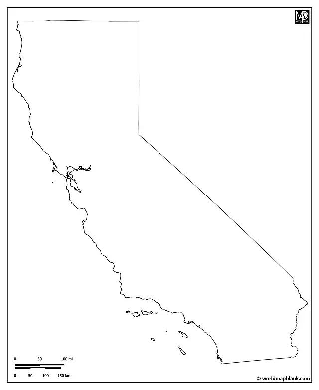
Download as PDF (A4)
Download as PDF (A5)
This outline map of California provides a versatile canvas for various activities. Educators can encourage students to mark and label key landmarks such as the Sierra Nevada Mountains, the Mojave Desert, or the iconic coastline along the Pacific Ocean. This map can also be used to trace the course of major rivers like the Sacramento and San Joaquin.
Blank Map of California with Neighboring States
Our following map includes a part of the Pacific Ocean west of California. It also shows the neighboring states of Oregon to the north, Nevada to the east, and Arizona to the southeast. Finally, it includes the border between California and the Mexican state of Baja California and a small part of Idaho in the top-right corner.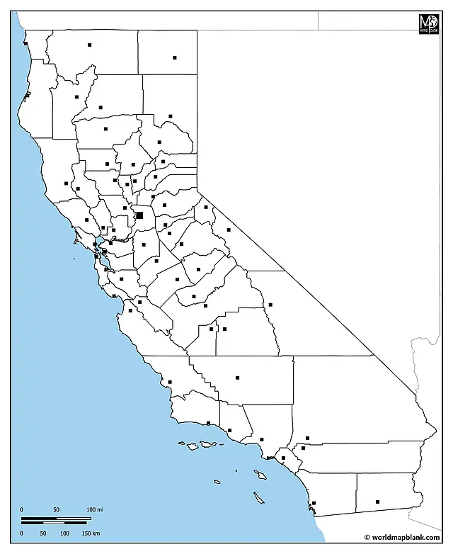
Download as PDF (A4)
Download as PDF (A5)
You can use this map to teach or learn about California in the context of the other US states. Additionally, it serves for county and county seat names; please find them listed further below.
Blank California Map with Counties
California has 58 counties shown with their borders only in our following map. Los Angeles County is the most populous, while Alpine County is among the least populated. This map highlights all county boundaries, which is ideal for projects like comparing demographic trends, exploring the distinct environmental features of each county, or tracking election results.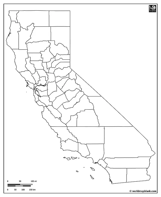
Download as PDF (A4)
Download as PDF (A5)
A creative activity could involve students shading each county based on different criteria, such as population density, average temperature, or predominant industries.
Outline Map of California with County Seats
Each county in California has a county seat, which serves as the administrative center. For instance, San Francisco is both a city and a county, while San Jose is the county seat of Santa Clara County. This map, detailing counties and their seats, offers a detailed view of California’s administrative geography.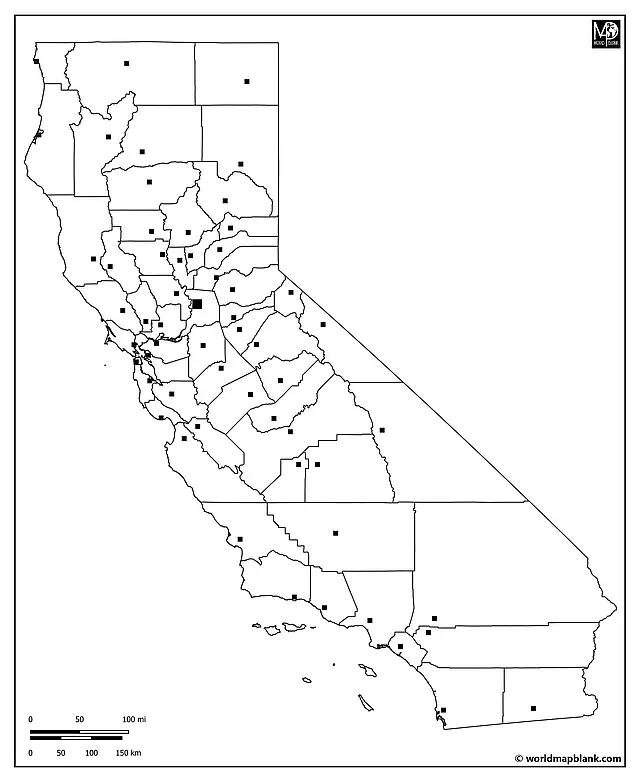
Download as PDF (A4)
Download as PDF (A5)
An engaging activity could involve students researching a specific county seat, detailing its history, cultural significance, or role in California’s government.
Here is an overview of all the counties of California with their county seats:
- Alameda (Oakland)
- Alpine (Markleeville)
- Amador (Jackson)
- Butte (Oroville)
- Calaveras (San Andreas)
- Colusa (Colusa)
- Contra Costa (Martinez)
- Del Norte (Crescent City)
- El Dorado (Placerville)
- Fresno (Fresno)
- Glenn (Willows)
- Humboldt (Eureka)
- Imperial (El Centro)
- Inyo (Independence)
- Kern (Bakersfield)
- Kings (Hanford)
- Lake (Lakeport)
- Lassen (Susanville)
- Los Angeles (Los Angeles)
- Madera (Madera)
- Marin (San Rafael)
- Mariposa (Mariposa)
- Mendocino (Ukiah)
- Merced (Merced)
- Modoc (Alturas)
- Mono (Bridgeport)
- Monterey (Salinas)
- Napa (Napa)
- Nevada (Nevada City)
- Orange (Santa Ana)
- Placer (Auburn)
- Plumas (Quincy)
- Riverside (Riverside)
- Sacramento (Sacramento)
- San Benito (Hollister)
- San Bernardino (San Bernardino)
- San Diego (San Diego)
- San Francisco (San Francisco)
- San Joaquin (Stockton)
- San Luis Obispo (San Luis Obispo)
- San Mateo (Redwood City)
- Santa Barbara (Santa Barbara)
- Santa Clara (San Jose)
- Santa Cruz (Santa Cruz)
- Shasta (Redding)
- Sierra (Downieville)
- Siskiyou (Yreka)
- Solano (Fairfield)
- Sonoma (Santa Rosa)
- Stanislaus (Modesto)
- Sutter (Yuba City)
- Tehama (Red Bluff)
- Trinity (Weaverville)
- Tulare (Visalia)
- Tuolumne (Sonora)
- Ventura (Ventura)
- Yolo (Woodland)
- Yuba (Marysville)
Blank Map of California with Cities and Towns
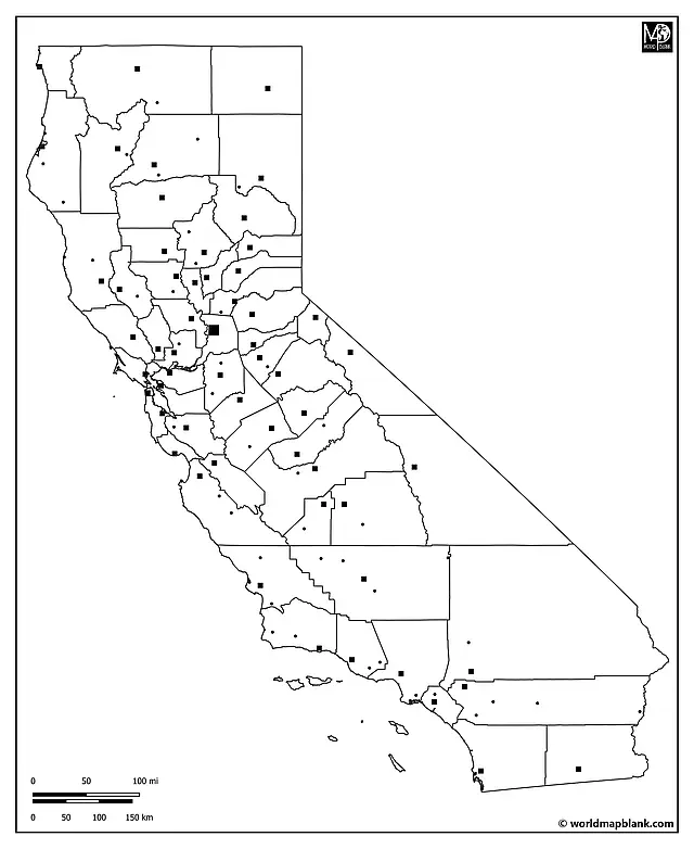
California has several globally renowned cities, including Los Angeles, San Francisco, San Diego, and Sacramento, the state capital. The following map is marked with these and many other cities and towns. It provides an excellent base for in-depth learning about places in California.
 Download as PDF (A4)
Download as PDF (A5)
Here is an alphabetical list of all the additional cities and towns marked on the map (apart from the county seats):
Anaheim, Anderson, Angels, Arbuckle, Arvin, Baywood-Los Osos, Blythe, Burney, Chico, Clearlake, East Hermet, Fort Bragg, Fortuna, Gridley, Imperial Beach, Indio, Kerman, Kettleman City, King City, Lewiston, Lodi, Lompoc, Long Beach, Los Banos, Lost Hills, Markleeville, McKinleyville, Mount Shasta, Murrieta, Nipomo, Oakhurst, Paso Robles, Porterville, Redway, Ridgecrest, Roseville, Santa Ynez, Simi Valley, Soledad, Thousand Oaks, Tracey, Vacaville, Ventura, Victorville, Wasco, Westwood, Willits, Thousand Oaks.
Other Free PDF Maps for Download
In addition to the California blank maps on this page, we offer many more outline maps of US states. We also provide blank and labeled maps of the world, continents, and countries. If you need ready-made but customizable teaching resources, check our our map worksheets.
Here are a few direct links to some of our most popular maps that you can download for free:
World Maps
- Blank World Map
- World Map with Oceans and Seas
- Political World Map
- World Map with Latitudes and Longitudes
Continent Maps
- Blank Map of North America
- South America Map with Countries
- Blank Map of Europe
- Africa Map with Countries
- Blank Asia Map
Country Maps
- USA Interstate Highways Maps
- United States Map
- Blank USA Map
- Canada Province Map
- Blank Map of Mexico
- Blank UK Map
- Germany Map with Cities
- Italy Map with Regions and Cities
- France Map with Regions
With maps created by:
Edelweise Shane Angeles is a skilled GIS Analyst and Cartographer from Davao City, Philippines. Holding a Bachelor's in Geology and Earth Science, he specializes in creating practical, clear maps using tools like Global Mapper, ArcGIS, ArcMap, and Google Earth Pro. Edelweise creates both blank and labelled maps for World Map Blank.


