skip to Main Content

Blank Map of the United States – Blank USA Map [PDF]

Looking for a black and white Unites States map? Here it is! A printable blank map of the USA or a United States map without labels is a great learning tool to practice the geographical structure of the country and its 50 states. You will find several blank maps of the USA on this page which are all free to download in PDF and printable.

So get your printable blank USA map now! Simply click on the download link below the image of your desired map. Then save your map on your computer or smartphone or print it out directly from your browser.

We offer a printable blank United States map, an outline map of the USA, a worksheet map template and more maps you can use for teaching and learning purposes. You can also complete your collection with a political USA map with states or even a US Interstate Highways map!

Blank United States Map

The United States of America is a federal republic situated in North America. It is bordered by Canada to the north and Mexico to the south, and has a land area of 3.8 million square miles (9.8 million square kilometers). The United States is the third largest country in the world, only Russia and China have a larger land area.

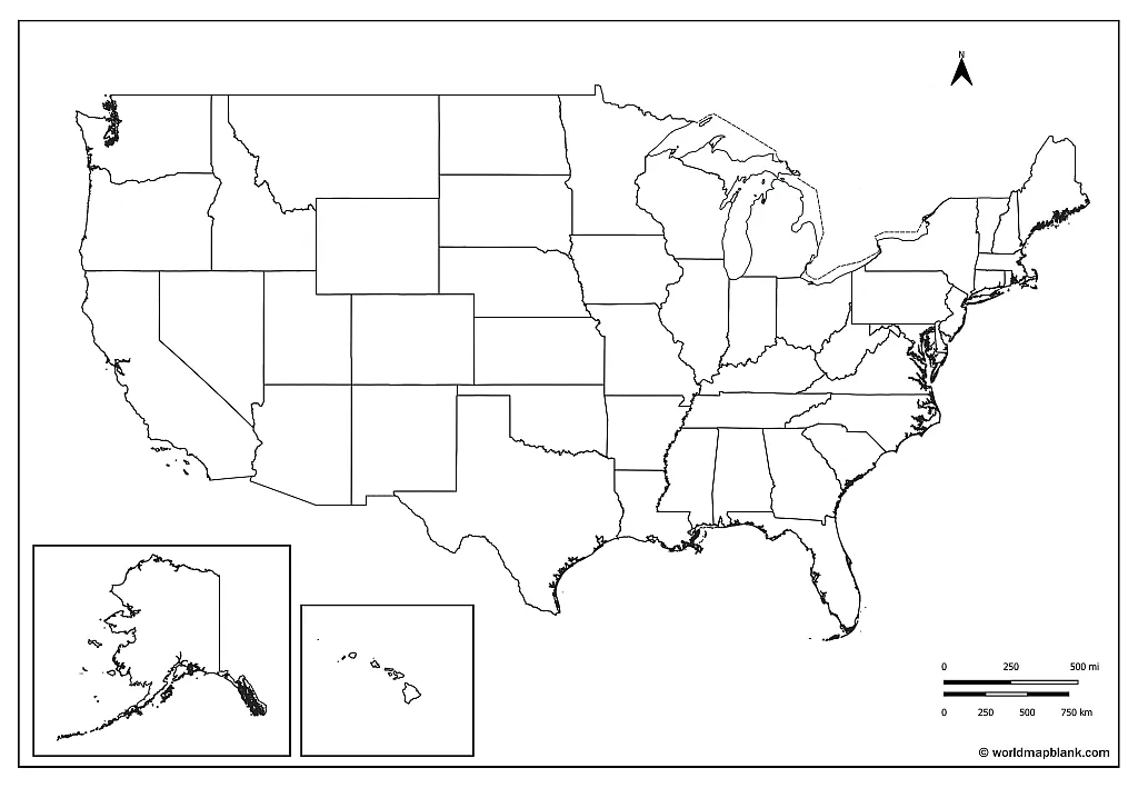
Our first blank US map shows all the US states including Alaska and Hawaii without capitals. You can download this blank map of the USA in two PDF versions: A5 and/or A4 size.

Blank Map of the United States

Download as PDF (A4)
Download as PDF (A5)

The United States has a population of approximately 332 million people (2021), making it the third most populous country in the world after China and India. The capital is Washington, D.C., the largest city is New York City. Other major cities include Los Angeles, Chicago, Houston, and Philadelphia.

Blank Map of USA

The United States is a federal republic with a presidential system of government. The president is the head of state and head of government, and serves as commander-in-chief of the armed forces. The legislature is the bicameral Congress, which is made up of the House of Representatives and the Senate. The judiciary is independent of the executive and legislature, and comprises the Supreme Court and lower federal courts.

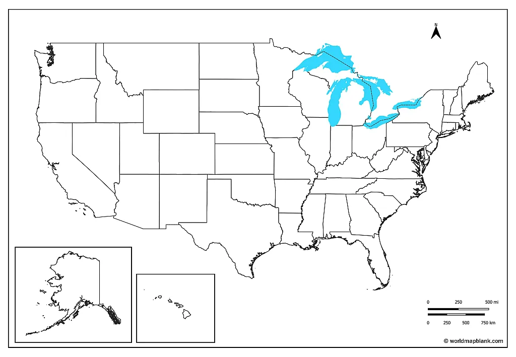
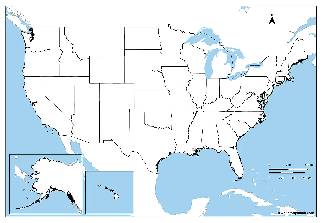
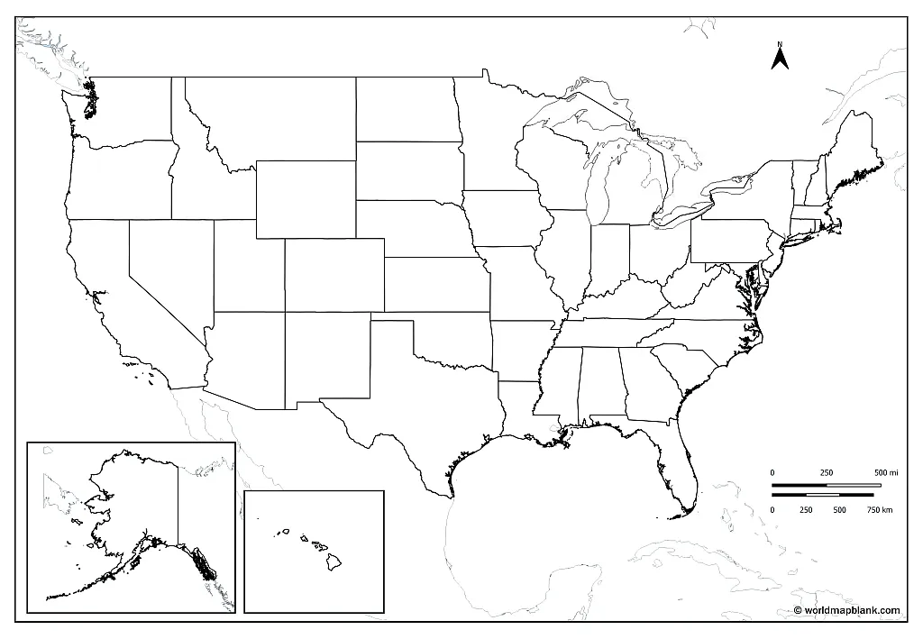
Our second printable blank map of the United States is similar to the first one, but also includes water bodies and parts of the surrounding countries.

Blank Map of USA

Download as PDF (A4)
Download as PDF (A5)

The United States has a capitalist economy based on abundant natural resources and a high productivity. The country ranks highly in several measures of socioeconomic performance, including average wage, human development, per capita GDP, and productivity.

United States Blank Map

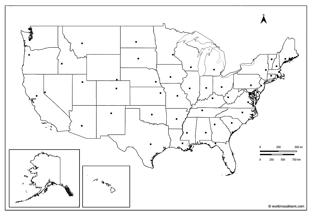
The following blank United States map also includes city markers for the 50 states capitals. This map is perfect for memorizing all their names or to test students’ knowledge.

United States Blank Map


Download as PDF (A4)
Download as PDF (A5)

The United States is a founding member of many international organizations such as the United Nations, International Monetary Fund, World Bank, Organization of American States, and others. It is a permanent member of the United Nations Security Council.

Blank USA Map

The United States has a diverse population with White Americans of European ancestry forming the largest ethnic and racial group (57.8%). Latino Americans and Hispanics form the second-largest group (18.7%). African Americans the third-largest (12.1%), and Asian Americans the fourth-largest group (5.9%). Native Americans only account for about 4.5 million inhabitants or 1.5% of the population.

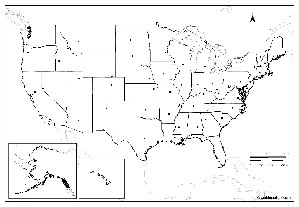
Our next blank USA map is similar to the one above, but also includes the borders of surrounding countries. Let your students or kids add their names to the map also!

Blank USA Map


Download as PDF (A4)
Download as PDF (A5)

The official language of the United States is English, but there are also many Spanish-speaking people in the country. Other languages spoken in the United States include Chinese, Hindi, Urdu, Arabic, and Bengali.

Blank Map of United States

Printable blank United States maps can be used in class and homework assignments, but also for homeschooling activities. You might as well put an outline map on your desk for reference or use it with your kids.

In combination with a labeled map of the USA, any blank United States map is a great tool for your geography lessons. It can be used to mark state names and state abbreviations as well as capital cities and other locations. Add some color and additional text for a great learning experience. You can even create your own blank map of the United States quiz!

USA Map Outline

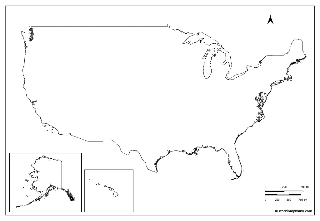
If you need a blank USA map which only shows the outer borders of the United States, the following outline map USA should be perfect.

USA Map Outline

Download as PDF (A4)
Download as PDF (A5)

An outline map of the USA is the least detailed version of a United States blank map and particularly useful, if you want to practice your knowledge of all the borders and city locations. Simply try to draw all of them into the map! You can also use this map for a variety of other tasks. How about drawing the original living areas of the native American nations into this map?

USA Map Blank

Here is an alternative USA blank map that only shows the mainland United States without Hawaii or Alaska. This map is great for coloring exercises or to memorize the names of the US states. Also you could cut it up and make your own US map puzzle game from this map!

USA Blank Map

Download as PDF

USA Blank Map

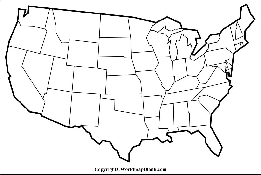
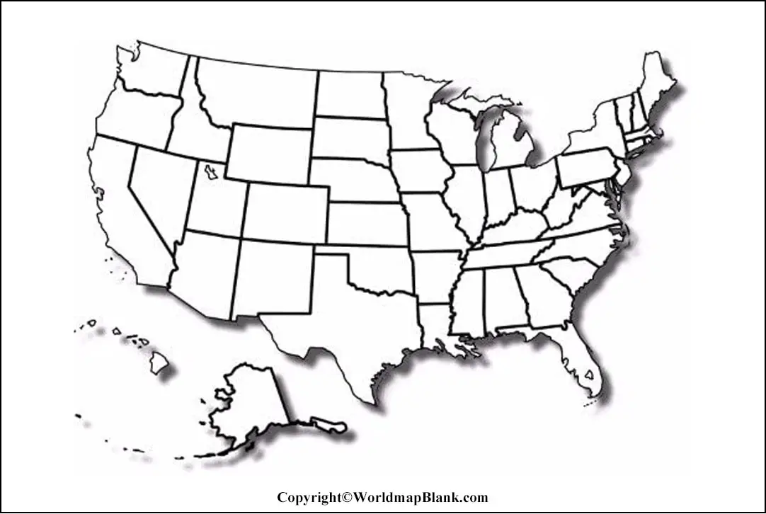
Our last map is another alternative printable blank map of the United States including Alaska and Hawaii. Again, this is a map that can easily be used for coloring exercises. It also has a slight 3D effect.

USA Blank Map

Download as PDF

Blank Maps of the USA States

Apart from maps of the entire United States, we also offer free printable maps of the USA states for download as PDF files. Here are a few links to some other blank maps for you to check out:

Labeled Maps of the United States of America

You will also find labeled maps of the 50 states by using our search feature on top of this page or via the following links:

More Free Maps for Download

Of course you can also find maps of other countries on our website! Please find below some links to blank and labeled maps that might be useful for you. If the map you need is not included, please use our search feature at the top of this page.

We have many free maps available already, and are constantly adding more for you to download. If you have a special request, please leave a comment below or contact us. We might be able to produce your desired map for free and publish it on our site!

World Maps

Continent Maps

Country Maps

This Post Has 0 Comments

Leave a Reply

Your email address will not be published. Required fields are marked *

Back To Top
Search