Labeled Map of Malawi with States, Capital & Cities
A view of the Labeled Map of Malawi shows that Malawi is a landlocked country situated in southeastern Africa. Besides, it is a long-stretched country in the Valley of Great Rift region on the western shore of Lake Nyasa. The country shares international borders with Mozambique, Zambia and Tanzania. Out of the world’s most densely populated nations, Malawi is one such country. It is slightly larger than Bulgaria in land area. But, slightly smaller in size when compared to that of Pennsylvania. As on Monday, August 24,2020, the current population of Malawi stands at 19,197,875 people.
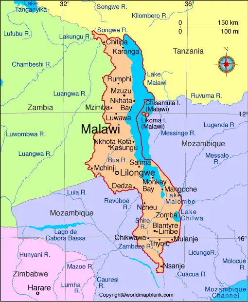
Labeled Map of Malawi
This population is equivalent to 0.25% of the global population. The total land area occupied by the Republic of Malawi is equivalent to 118,484 square kilometers or 45,747 square miles. Malawi has three major rivers. The first river Dwangua measures a length of one hundred miles. This river flows from Kasungu National Park, on Malawi’s central plateau, to Lake Malawi.
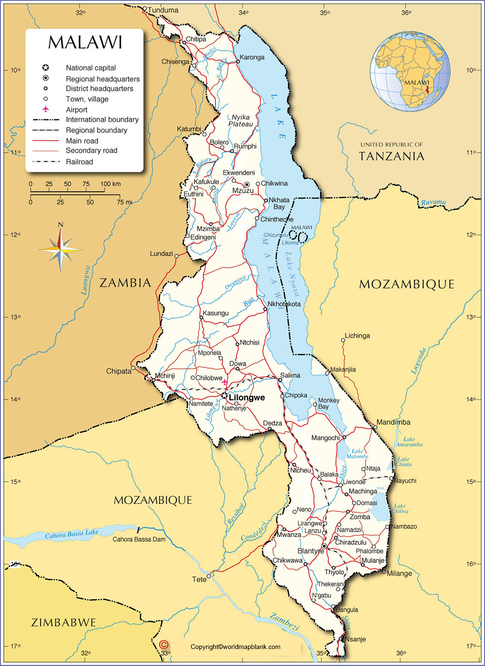
The second river Shire flows through both Malawi and Mozambique and originates from Malawi Lake. The third major river is Rukuru, which flows through the country. The religions followed, including Protestants, Seventh Day Adventists or Baptists, Pentecostal, Anglicans, Roman Catholics, other Christians, Muslims, and traditionalists.
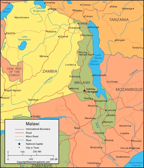
Labeled Map of Malawi with States
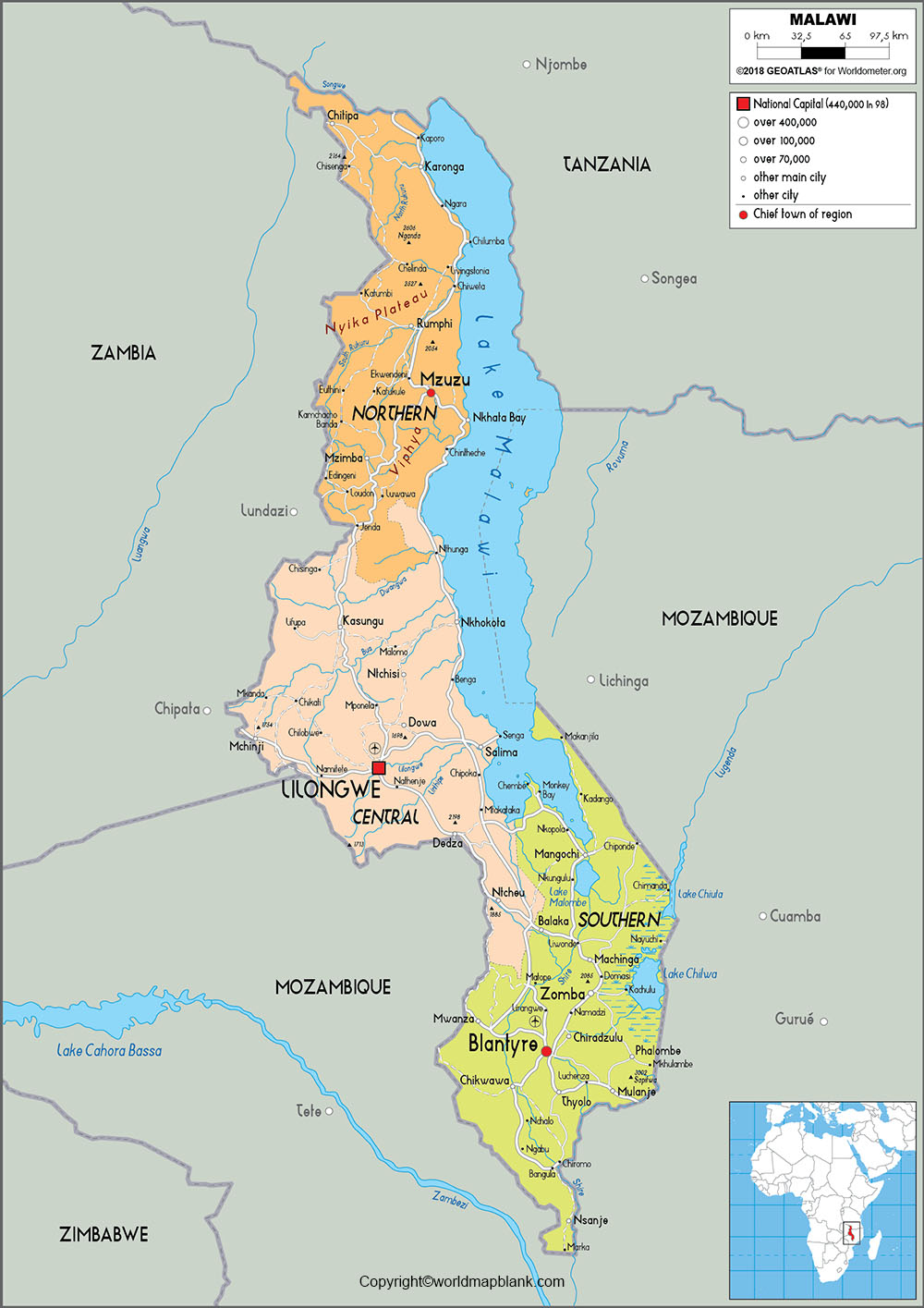
As a part of the labeled map of Malawi with states, the nation is categorized into three regions and subdivided into twenty-eight districts. They are: The Northern Region, the Central Region, and the Southern Region. Based on the Administrative Map of Malawi, the provincial capital of the northern region is Mzuzu. Similarly, the province capital of the Central Region is Lilongwe and the province capital of the Southern Region is Blantyre.
Labeled Map of Malawi with Cities
Through the labeled map of Malawi with cities, there are two major cities in Malawi. They are Lilongwe, the capital city and Blantyre, the commercial capital of Malawi. Two other cities are also recognized as the major cities of Malawi. They are Zomba and Mzuzu.
Labeled Malawi Map with Capital
As a part of labeled Malawi with capital, since 1975, Lilongwe is the capital city of Malawi. This city is located on the inland plains and is recognized as one of the largest cities in the country. In the year 1904, this city became a colonial district headquarters. With the emergence of the tobacco industry in the surrounding areas of this city, the importance of this place increased. This city is famous for its agricultural marketing center due to the fertile Central Region Plateau of Malawi. It was selected as an economic growth point for the country.
In the old city, service and distribution centers are located for commercial activities. Capital Hill, the new city, is three kilometers away from the old city that houses all the embassies and government buildings. Other development projects have come up, such as a new international airport, rail connections, and industrial areas in the northern part of the city, recently.
Related Posts


