Printable Blank Map of Louisiana – Free Download [JPEG/PDF]
Download your free blank map of Louisiana from this page as an image or PDF file! We provide several variations, from a Louisiana outline map to a blank map of Louisiana with cities. Simply choose your map and click on the relevant download link below its image. Get your blank Louisiana map now!
Louisiana Outline Map
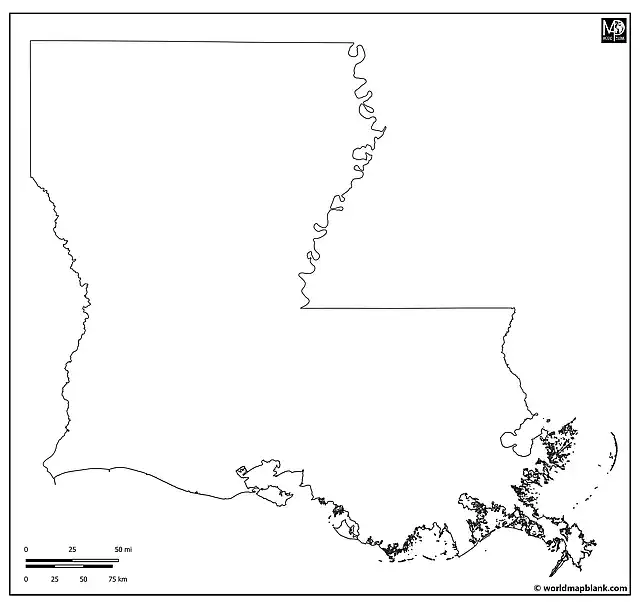
Our first map is a printable Louisiana outline map showing only the outer boundaries of the “Pelican State”.
Blank Map of Louisiana
The following blank map of Louisiana also shows the boundaries of the 64 parishes of the state. This map focuses on Louisiana only and does not include any neighboring areas.
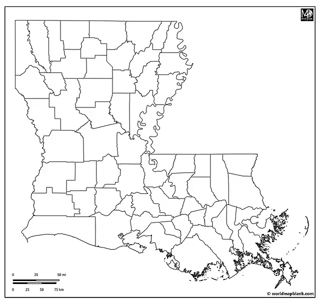
Due to its French heritage, Louisiana does not have counties but parishes. In alphabetical order, these are:
Acadia, Allen, Ascension, Assumption, Avoyelles, Beauregard, Bienville, Bossier, Caddo, Calcasieu, Caldwell, Cameron, Catahoula, Claiborne, Concordia, De Soto, East Baton Rouge, East Carroll, East Feliciana, Evangeline, Franklin, Grant, Iberia, Iberville, Jackson, Jefferson, Jefferson Davis, La Salle, Lafayette, Lafourche, Lincoln, Livingston, Madison, Morehouse, Natchitoches, Orleans, Ouachita, Plaquemines, Pointe Coupee, Rapides, Red River, Richland, Sabine, St. Bernard, St. Charles, St. Helena, St. James, St. John the Baptist, St. Landry, St. Martin, St. Mary, St. Tammany, Tangipahoa, Tensas, Terrebonne, Union, Vermilion, Vernon, Washington, Webster, West Baton Rouge, West Carroll, West Feliciana, and Winn.
Blank Louisiana Map with Neighboring States
Here is a blank Louisiana map with county borders, markers for the county seats, neighboring states, and a part of the Gulf of Mexico.
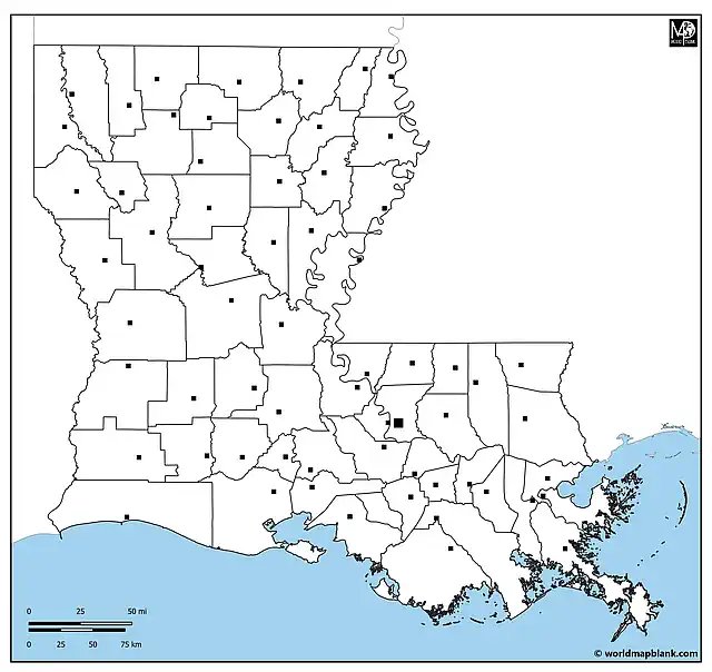
The US states bordering Louisiana are Texas to the west, Arkansas to the north, and Mississippi to the east. In the south, Louisiana borders the Gulf of Mexico.
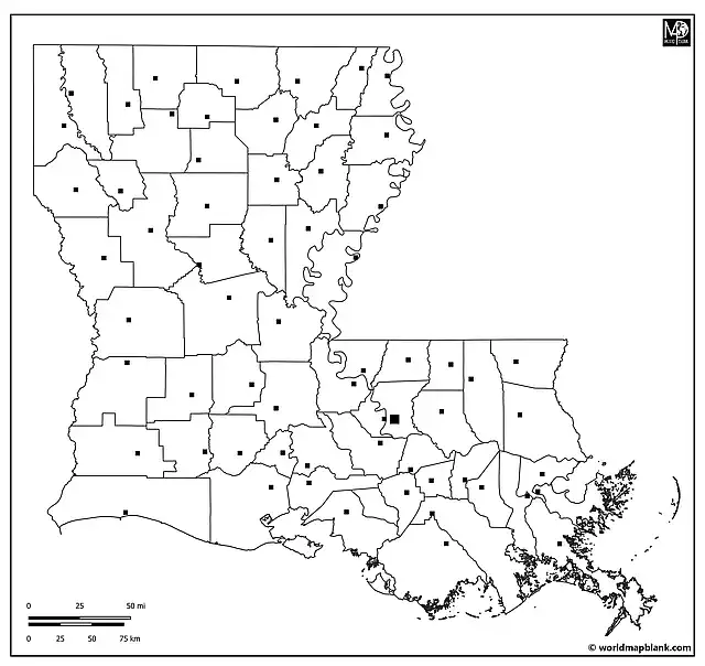
Louisiana Blank Map with County Seats
The map below is a variation of the previous one. While it focuses on the territory of Louisiana only, it also includes markers for the county seats as well as Louisiana’s capital city, Baton Rouge.
Printable Blank Map of Louisiana with Cities
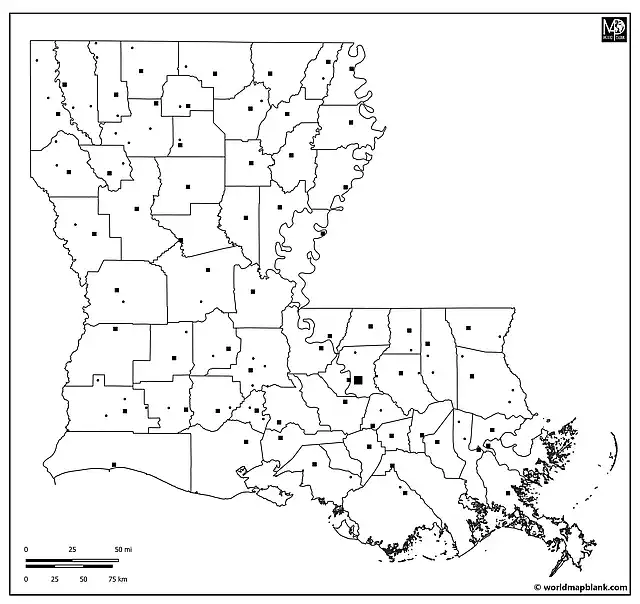
Our following map combines an outline of Louisiana with the parish boundaries and markers for the state capital as well as other cities and towns.
Apart from the capital city Baton Rouge, the map includes markers for the following places (in alphabetical order):
Abbeville, Alexandria, Amite, Arcadia, Arnaudville, Bastrop, Bayou Cane, Benton, Bernice, Bienville, Blanchard, Bogalusa, Bossier City, Broussard, Cameron, Carlyss, Castor, Chalmette, Clinton, Colfax, Columbia, Convent, Coushatta, Covington, Crowley, De Quincy, DeRidder, Denham Springs, Donaldsonville, East Hodge, Edgard, Farmerville, Folsom, Forest Hill, Fort Polk South, Franklin, Gonzales, Grambling, Grand Cane, Greensburg, Gretna, Hammond, Harrisonburg, Haughton, Haynesville, Heflin, Homer, Houma, Independence, Iowa, Jena, Jennings, Jonesboro, Kenner, Lake Charles, Lake Providence, Leesville, Livingston, Mamou, Mansfield, Many, Marksville, Martin, Metairie, Minden, Monroe, Montpelier, Morgan City, Moss Bluff, Napoleonville, Natchitoches, New Iberia, New Orleans, New Roads, Oak Grove, Oakdale, Oberlin, Opelousas, Pearl River, Pioneer, Plaquemine, Pointe a la Hache, Port Allen, Port Barre, Rayne, Rayville, Ringgold, Ruston, Saint Francisville, Saint James, Saint Joseph, Saint Martinville, Sarepta, Scott, Shreveport, Slidell, Spring Hill, Stonewall, Sunset, Swartz, Tallulah, Thibodaux, Vidalia, Ville Platte, Vivian, Washington, Welsh, Winnsboro, and Zwolle.
Related Maps
- Blank Map of the United States
- USA Map with States
- Blank North America Map
- Texas Outline Map
- Blank Map of Florida
Finally, check out our ready-made and customizable USA worksheets for easy activity planning and homeschooling!
With maps created by:
Edelweise Shane Angeles is a skilled GIS Analyst and Cartographer from Davao City, Philippines. Holding a Bachelor's in Geology and Earth Science, he specializes in creating practical, clear maps using tools like Global Mapper, ArcGIS, ArcMap, and Google Earth Pro. Edelweise creates both blank and labelled maps for World Map Blank.


