Printable Blank Map of Virginia for Free Download [JPEG/PDF]
Download here your blank map of Virginia as a JPEG or printable PDF file in A4 or A5 format. Just click on the relevant download link under each image to get your free Virginia outline map.
While there are many blank Virginia maps available on the internet, our collection stands out because we provide not just a simple outline map but also several blank map variations. For instance, our cartography and GIS experts have created maps with markers for county seats as well as state and county borders, covering a wide range of possible uses.
Whether you’re a teacher, student, researcher, or traveler, our blank Virginia maps will meet your diverse needs. Use them for lesson planning, creating worksheets or professional presentations, and for planning or tracking your trips. Get your maps now!
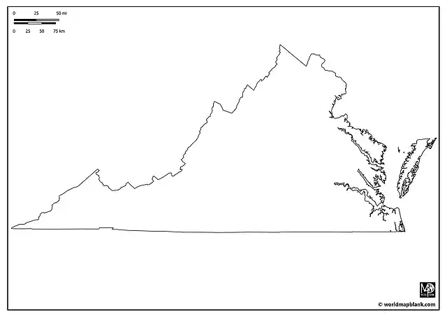
Outline Map of Virginia
Virginia is also known as “The Old Dominion” due to its status as the first English colonial possession established in mainland America. The state is located in the Southeastern and Mid-Atlantic regions of the United States. It borders Maryland and Washington D.C. to the north and east, the Atlantic Ocean to the east, North Carolina and Tennessee to the south, Kentucky to the west, and West Virginia to the north and west.
Download as PDF (A4)
Download as PDF (A5)
Download as JPEG (HD)
Our Virginia outline map above provides a clear depiction of the state’s outer boundaries. While relatively simple, it is an excellent tool for geographical education about this U.S. state. It is best for drawing, shading, and marking exercises. For instance, teachers can ask their students to mark major natural landmarks like the Blue Ridge Mountains, Shenandoah Valley, or Chesapeake Bay on the map. It is also great to familiarize oneself with the shape of this US state.
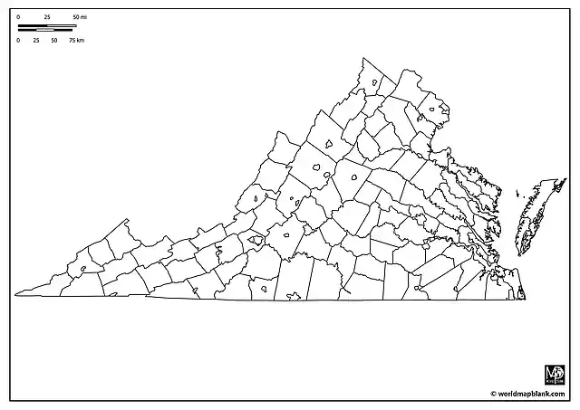
Blank Virginia County Map
Virginia is divided into 95 counties and 38 independent cities, each with its own unique cultural and historical significance. Richmond, the state capital, is one of these independent cities. The following map showing all Virginia county and city borders is perfect for a range of activities, from demographic studies to exploring the rich history of areas like Fairfax, Arlington, or Williamsburg. You can find a list of all the VA counties and independent cities here.
Download as PDF (A4)
Download as PDF (A5)
Download as JPEG (HD)
A possible classroom activity based on the map above could involve students researching a particular county or independent city and presenting its economic, cultural, or historical attributes. The map can also be used for plotting historical sites, such as Jamestown, Monticello, or the Arlington National Cemetery.
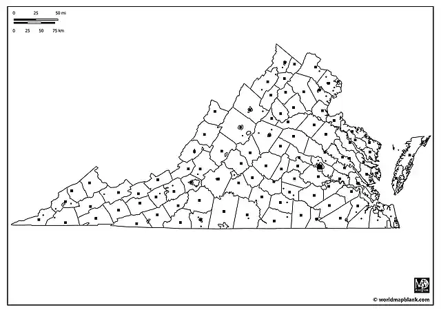
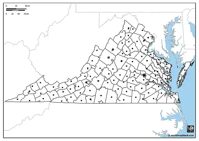
Blank Map of Virginia with County Seats
Each of Virginia’s counties and independent cities serves as its own administrative center. This detailed map not only outlines the counties and cities but also marks their respective local government centers, offering a comprehensive view of Virginia’s administrative geography.

Download as PDF (A4)
Download as PDF (A5)
Download as JPEG (HD)
Use the above map for teaching or memorizing all the county and county seat names. For learning activities or exams, use a list of Virginia’s counties and cities as your answer key. Another engaging activity could involve students conducting a detailed study of an administrative center, focusing on its role in the state’s governance, historical importance, or cultural landmarks.
Blank Virginia Map with Cities and Towns
Besides Richmond, Virginia is home to other significant cities such as Virginia Beach, Norfolk, Chesapeake, and Alexandria. The following map includes markers for these and other cities and towns, offering an excellent resource for learning even more about the urban areas in Virginia or planning travel routes through the state.
Download as PDF (A4)
Download as PDF (A5)
Download as JPEG (HD)
The additional places marked on the map above are (in alphabetical order):
Altavista, Ashburn, Big Stone Gap, Blackstone, Blacksburg, Burkeville, Coeburn, Collinsville, Crozet, Dale City, Daleville, Dublin, Duffield, Dumfries, Elkton, Kenbridge, Mount Jackson, Newington, Pennington Gap, Reston, Richlands, Ridgeway, South Boston, South Hill, Springfield, Stephens City, St. Paul, Strasburg, Stuarts Draft, and Windsor.
As an interesting activity, students can be tasked with creating a tourist guide for a chosen Virginia city or town, including attractions, historical sites, and local cuisine.
Virginia Blank Map with Counties and Capital
Our map below includes all the county borders in Virginia and a marker for the state capital, Richmond. However, no county seats or other information is indicated on the map.
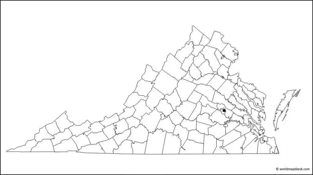
If you wish to download the map above as an image file, please right-click on the image and select the download option. Alternatively, you can get it as a PDF file by clicking on the link.
Blank Map of Virginia with Neighboring States
Our last blank map of Virginia includes the borders of all its neighboring states and showcases significant bodies of water, such as the Chesapeake Bay and the Atlantic Ocean. This detailed map is our most comprehensive blank Virginia map, combining features of all other maps. It’s an excellent resource for teaching or learning about Virginia in relation to the surrounding states in the Southeastern USA and its relation to important water bodies.
Download as PDF (A4)
Download as PDF (A5)
Download as JPEG (HD)
We also offer blank maps and labeled maps of all the neighboring states of Virginia, the U.S. states in general, as well as the USA and many other countries in North America and the entire world.
Related Maps
Here are some examples of related blank and labeled U.S. maps you can download for free from our site:
Explore our collection to find the perfect map for your educational, research, professional, or travel planning needs. All our maps are available in convenient formats and are easy to print, ensuring you have the best resources at your fingertips.
Related Posts


