Printable Blank Map of Alberta – Free Download [JPEG/PDF]
Download your blank map of Alberta from this page as an image or PDF file. We provide several versions, from an Alberta outline map to a blank map of Alberta with cities. Just choose the desired map and click on one of the download links below the map image. Get your blank Alberta map now!
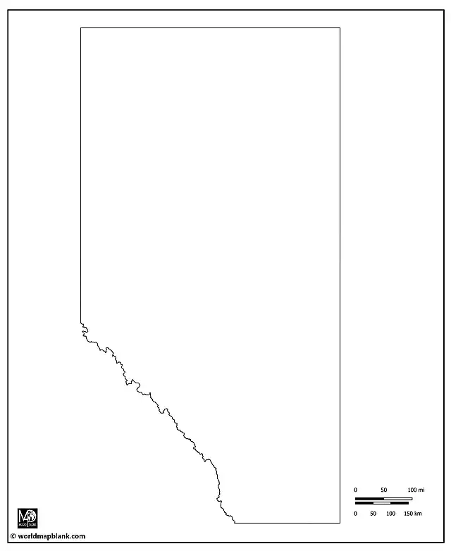
Alberta Outline Map
Our first map is a printable Alberta outline map showing only the outer boundaries of this Canadian province.
Blank Map of Alberta
The following blank map of Alberta also shows the boundaries of the 19 census divisions of the province. This map focuses on Alberta only and does not include any neighboring areas.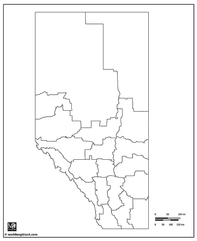
In alphabetical order, the census divisions of Alberta are Athabasca, Barrhead, Bonnyville, Calgary, Camrose, Drumheller, Edmonton, Fort McMurray, Grande Prairie, High Prairie, Lacombe, Leduc, Medicine Hat, Peace River, Red Deer, St. Paul, Stettler, Wetaskiwin, and Whitecourt.
Blank Alberta Map with Neighboring Provinces
Here is a blank Alberta map very similar to the previous one. However, it also includes province and international borders.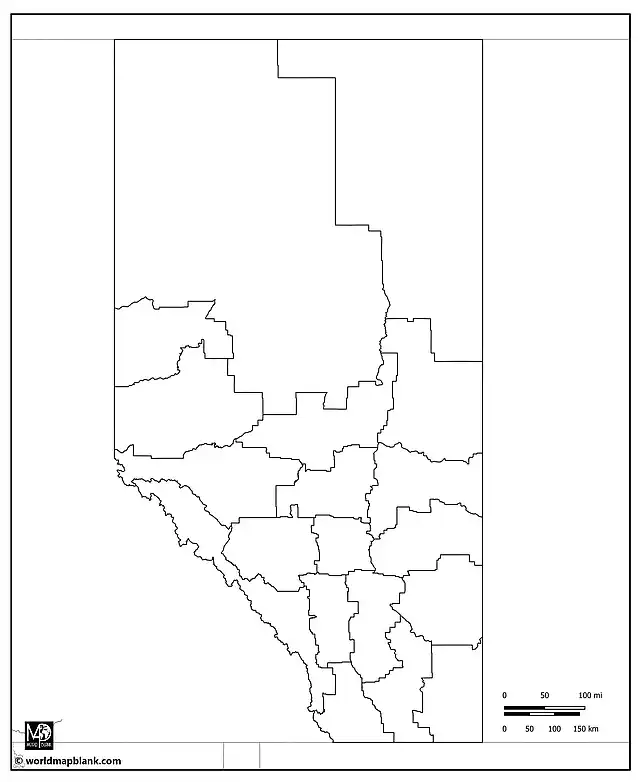
The Canadian provinces and territories bordering Alberta are British Columbia to the west, Saskatchewan to the east, and the Northwest Territories to the north. In the south, Alberta borders the US state of Montana. Additionally, the above map includes parts of Idaho and Washington.
Alberta Blank Map with Province Capital
The map below is again a variation of the previous one, this time including a marker for the province capital, Edmonton.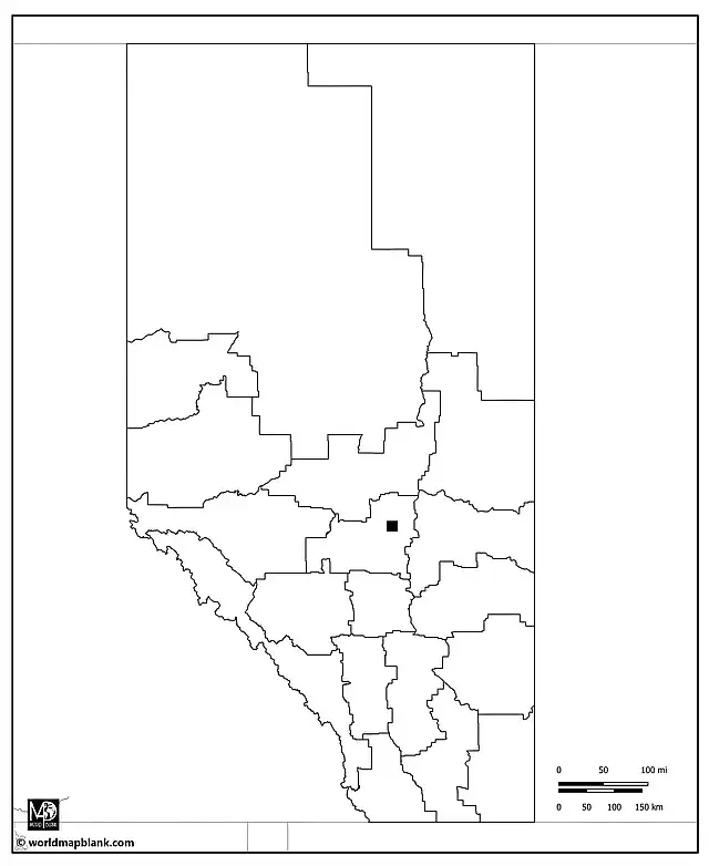
Printable Blank Map of Alberta with Cities
Our following map combines an outline of Alberta with the census division boundaries and markers for the province capital as well as other cities and towns.
Apart from the capital city Edmonton, the cities and towns marked on the map are (in alphabetical order): Airdrie, Barrhead, Beaverlodge, Bonnyville, Bow Island, Brooks, Calgary, Canmore, Cardston, Cold Lake, Edson, Falher, Fort Macleod, Fort Saskatchewan, Grande Prairie, Grimshaw, Hanna, High Level, High River, Hinton, Innisfail, Jasper, Leduc, Lethbridge, Manning, Medicine Hat, Morinville, Olds, Oyen, Pincher Creek, Ponoka, Rimbey, Rocky Mountain House, Slave Lake, St. Paul, Strathmore, Sylvan Lake, Taber, Valleyview, Wabasca, Wainwright, Whitecourt, and Wood Buffalo.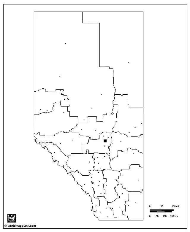
Related Maps
- Blank Map of Canada
- Canada Map with Cities
- USA Map with States
- Blank United States Map
- Blank Map of North America
Also, check out our ready-made and customizable Canada worksheets with fun and interactive exercises!
With maps created by:
Edelweise Shane Angeles is a skilled GIS Analyst and Cartographer from Davao City, Philippines. Holding a Bachelor's in Geology and Earth Science, he specializes in creating practical, clear maps using tools like Global Mapper, ArcGIS, ArcMap, and Google Earth Pro. Edelweise creates both blank and labelled maps for World Map Blank.


