Printable Blank Map of Canada – Outline Map of Canada [PDF]
A blank map of Canada or an outline map of Canada is a great tool for practicing your knowledge of the country’s borders, provinces, and territories. It can also be used for teaching and learning the names and locations of major cities and other geographical features.
Click on any download link for your preferred unlabeled Canada map. Then, you can print out your map from your browser or save it on your device to use later. Most maps are provided in A4 and A5 sizes.
And if you would like to complete your collection with labeled maps, check out our Canada map with provinces page! We also offer ready-made but customizable Canada map worksheets with fun and interactive learning activities.
Blank Map of Canada
Canada is a country located in the northern part of North America. It consists of ten provinces and three territories. Canada’s land mass stretches from the Pacific to the Atlantic and northward into the Arctic Ocean. It’s the world’s second-largest country by total area, covering 3.85 million square miles (9.98 million square kilometers). Canada’s southern border with the United States is the world’s longest land border between two countries.
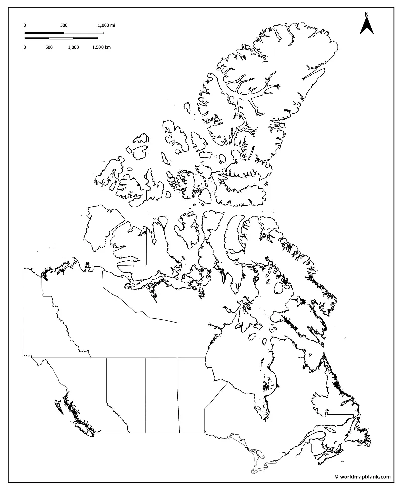
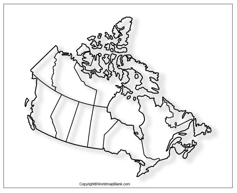
Our first blank map of Canada includes all the territory and province borders and is available in A4 and A5 sizes. This map is excellent for labeling it with all the province names of Canada.
Download as PDF (A4)
Download as PDF (A5)
The provinces of Canada and their capitals are Alberta (Edmonton), British Columbia (Victoria), Manitoba (Winnipeg), New Brunswick (Fredericton), Newfoundland and Labrador (St. John’s), Nova Scotia (Halifax), Ontario (Toronto), Prince Edward Island (Charlottetown), Quebec (Quebec City), and Saskatchewan (Regina).
The three territories of Canada are the Northwest Territories (Yellowknife), Nunavut (Iqaluit), and the Yukon Territory (Whitehorse).
Canada has a population of over 38 million people, the national capital is Ottawa. The Canadian capital city has a population of slightly over 1 million, while there live approximately 1.5 million in the metropolitan area of Ottawa-Gatineau.
Blank Map for Canada
A blank map is an excellent tool to teach or learn about geography. Not only will you or your students be able to label countries, cities, and other geographical features. But you can also teach or learn about the physical features of the relevant region. Finally, you can use a blank map to create or study for a test or to improve your general understanding of geography.
Here are some tips on how to use a blank map for teaching and learning:
- Start by familiarizing yourself with the country’s overall shape, states or provinces, capital, and major cities. A labeled map, physical map, and/or political map can be a helpful reference. You might also want to use an outline map first to get familiar with the outer boundaries of a country or continent.
- Next, focus on learning the location of the provinces and territories, major cities, and inner-country borders. Again, refer to your reference maps if necessary.
- Once you have a good understanding of the general layout, you can take your blank map and begin filling in the names of the provinces and territories. Maybe you could mark the national capital as well.
- Then, you continue with the names of major cities, rivers, and mountain ranges. If unsure about a specific location, you might again want to check your reference maps. You could even try to draw the province borders into a blank outline map.
Canada on a Map
The following two maps show where Canada is located. Both were created with a tool called MapChart.
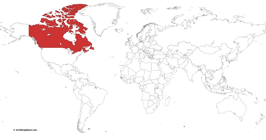
Canada on World Map
This first one shows the location of Canada on a world map in the northern part of North America.
Download as PDF (A4)
Download as PDF (A5)
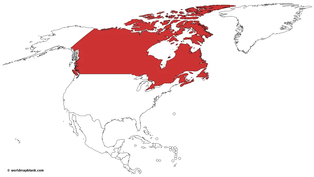
Canada on North America Map
This second one indicates where is Canada on a map of North America between the main part of the USA, Alaska, and Greenland, as well as the Pacific Ocean, the Atlantic Ocean, and the Arctic Ocean.
Download as PDF (A4)
Download as PDF (A5)
Canada covers approx. 40.75% of the continent and is just slightly larger than the United States (but has a much smaller population).
Blank Map of Canada Outline
An outline map of Canada is a great way to teach children and other learners about the geography of this vast country. The blank outline map provides a simple yet effective way for kids to learn about the outer shape of the country’s borders. Plus, it’s a great way to introduce them to the world of map-making!
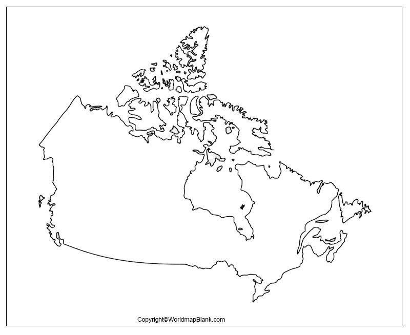
Outline maps are also very useful in the classroom setting. Teachers can use them to create customized learning materials for their students. For example, an outline map of Canada can be used to teach about the country’s physical features, such as its mountains, rivers, and lakes. It can also be a means to practice the location of major cities and towns. You just need to draw the desired features into the map (or have your students do that) and double check with a labeled map.
Outline of Canada Map
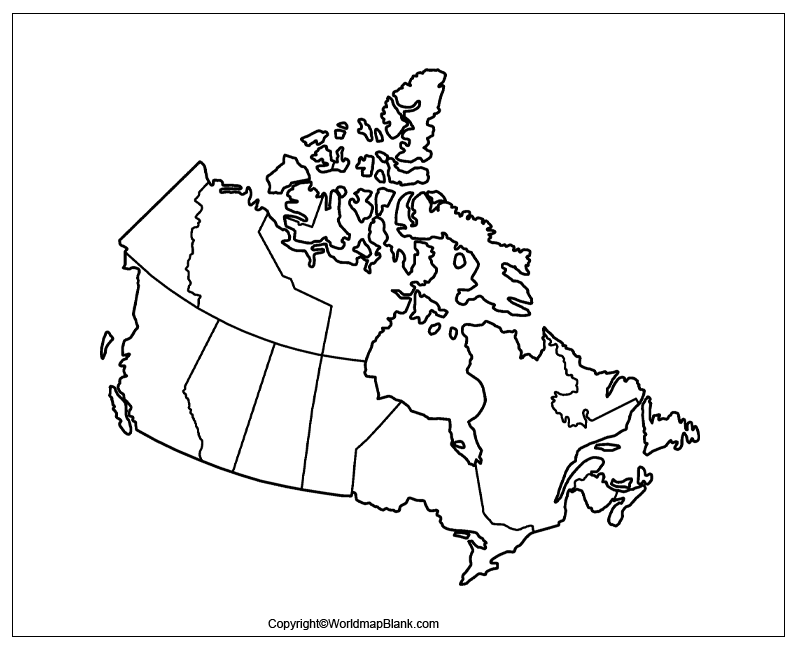
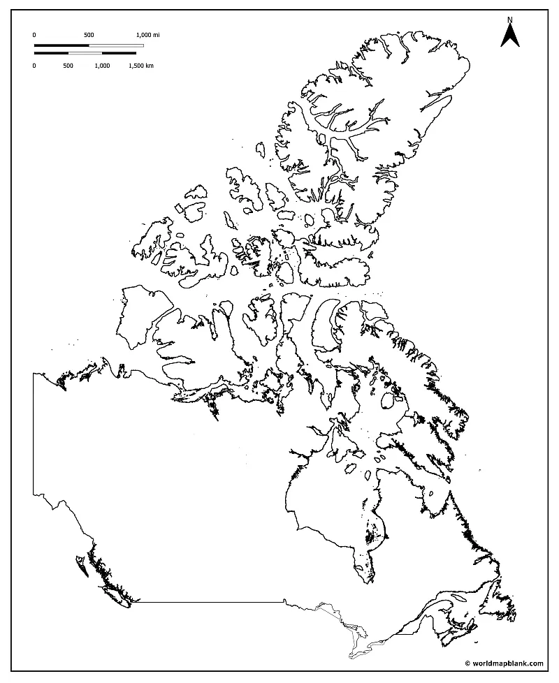
Below we provide an alternative blank map showing the outline of Canada without any provincial borders or other markers. This is our least detailed Canada outline map.
Download as PDF (A4)
Download as PDF (A5)
For example, you can start the teaching and learning process by using a simple outline map. Then, you continue with a blank map with all the borders of provinces and territories. Combining a blank map with a labeled map can speed up the learning process. Finally, you can use a blank map for testing and ask your students to draw the most important geographical features into the map.
Printable Blank Map of Canada
All the blank maps of Canada on this page are free to download as PDF files. Print as many copies as you need for worksheets and other school or study materials. To download, click on the relevant links below the images.
Apart from the Canada maps on this page, we offer various other free printable maps with or without labels. At the end of this page, you will find a link collection of further exciting maps.
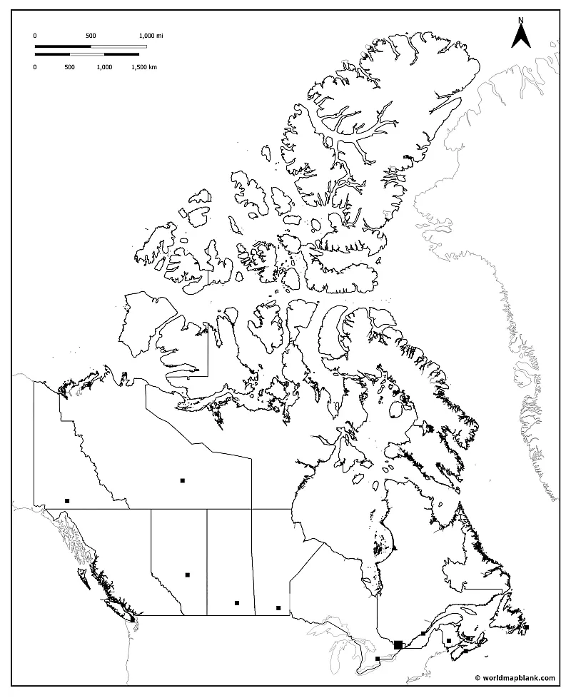
Blank Canada Map with Provinces and Capitals
Choose from the different versions of blank Canada maps to teach and study Canadian geography. All maps are black and white, which makes them great for coloring the Canadian provinces and marking big cities and other characteristics.
Download as PDF (A4)
Download as PDF (A5)
The above blank Canada map includes not only the provinces and territories but also the locations of their capitals.
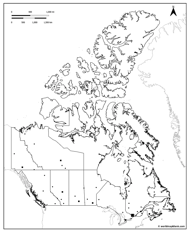
Blank Canada Map with Cities
An even more detailed black and white map of Canada, our next one also includes markers for many major cities and towns.
Download as PDF (A4)
Download as PDF (A5)
For maximum learning success and easy teaching, combine these maps with matching labeled maps of Canada.
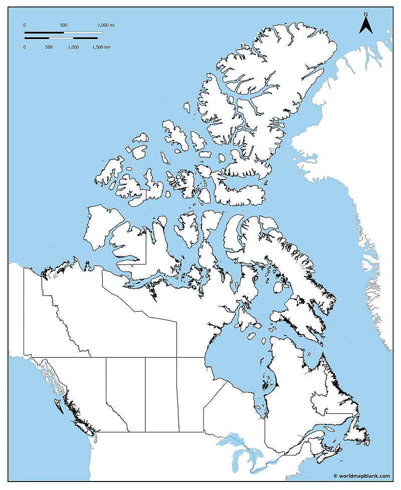
Blank Map of Canada Provinces
The following map includes not only the Canadian territories and provinces. It also shows Canada’s neighboring countries and the oceans surrounding the country.
Download as PDF (A4)
Download as PDF (A5)
The above map can also be used to learn and memorize which oceans and seas Canada is bordering with.
Map of Canada for Practice Worksheets
One of the best methods used for improving the geographical knowledge of Canada is to make worksheets with your instructions and questions. You can easily include the maps from this page into your own worksheet creations and use them in the classroom, for homework assignments, or exams.
Other ideas could be creating a puzzle game by cutting maps into pieces or making a memory game with cards showing the outline maps and names of the Canadian provinces.
More Free Printable Maps for Download
Whether you want to create a memory game or teach the shapes of the countries of the world, you will find a lot of blank maps on our website. Please see below a few links to relevant pages. If your desired map is not included, simply use the search feature at the top of the page. Should you still not be able to find the map you require, please contact us, and we will try to create it for you.
Blank Country Maps
- Blank Map of France
- United States Blank Map
- Blank Map of Argentina
- Blank Map of Belgium
- Bolivia Blank Map
- Blank Map of Egypt
- UK Blank Map
- Blank Map of Spain
- Blank Map of Finland
- Brazil Blank Map
- Blank Map of New Zealand
Labeled Maps
- Labeled Map of North America
- Map of France with Regions and Departments
- Germany Labeled Map
- Ukraine Map
- Regions of Italy Map
- USA Interstate Highways Map
- Political United States Map
- Labeled map of South America
- Map of India with States and Cities
World Maps
- Blank Map of the World
- World Map with Longitudes and Latitudes
- Map of the World with Continents
- World Map with Oceans
- Physical Map of the World
- World Map for Kids
Continent Maps
- Labeled Map of Europe
- Blank Map of Europe
- Political Map of Africa
- Blank Map of Africa
- Labeled Map of Asia
- Blank Map of Asia
With maps created by:
Edelweise Shane Angeles is a skilled GIS Analyst and Cartographer from Davao City, Philippines. Holding a Bachelor's in Geology and Earth Science, he specializes in creating practical, clear maps using tools like Global Mapper, ArcGIS, ArcMap, and Google Earth Pro. Edelweise creates both blank and labelled maps for World Map Blank.


