Printable Blank Map of British Columbia [PDF/JPEG]
Get your blank map of British Columbia from this page as an image or PDF file in A4 or A5 format. We provide several variations, from a British Columbia outline map to a blank map of British Columbia with cities. Simply pick the map you want and click on the relevant download links below the map image. Download your blank British Columbia map now!
British Columbia Outline Map
Our first map is a printable British Columbia outline map showing only the outer boundaries of this Canadian province.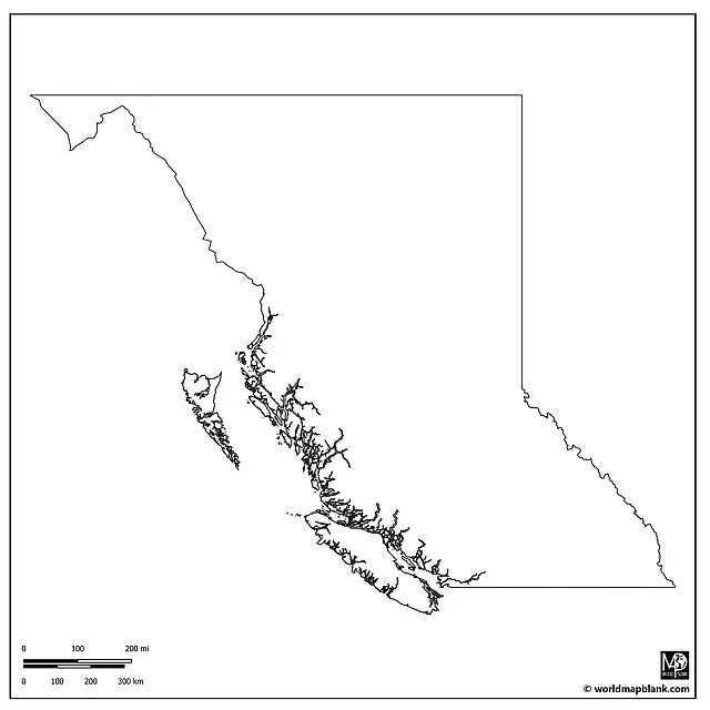
Blank Map of British Columbia
The following blank map of British Columbia also shows the borders between the 28 regional districts of the province. This map focuses on British Columbia only and does not include any neighboring areas.
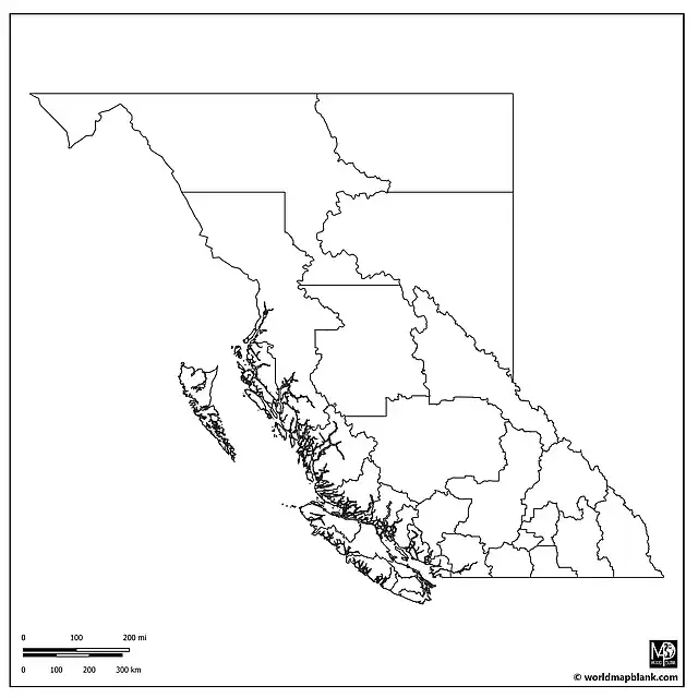
In alphabetical order, the regional districts of British Columbia are Alberni-Clayoquot, Bulkley-Nechako, Capital, Cariboo, Central Coast, Central Kootenay, Central Okanagan, Columbia-Shuswap, Comox Valley, Cowichan Valley, East Kootenay, Fraser Valley, Fraser-Fort George, Greater Vancouver, Kitimat-Stikine, Kootenay Boundary, Mount Waddington, Nanaimo, North Okanagan, Northern Rockies, Okanagan-Similkameen, Peace River, Powell River, Skeena-Queen Charlotte, Squamish-Lillooet, Strathcona, Sunshine Coast, and Thompson-Nicola.
The following variation additionally includes a marker for the provincial capital, Victoria.

Blank British Columbia Map
Here is a blank British Columbia map very similar to the previous one. However, it also includes province and international borders as well as BC’s neighboring provinces and states. A part of the Pacific Ocean is shown as well.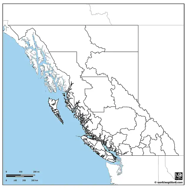
The Canadian provinces and territories bordering British Columbia are Alberta to the east and the Yukon and Northwest Territories to the north. In the south, British Columbia borders the US states of Washington, Idaho, and Montana. Additionally, the above map includes parts of Alaska.
British Columbia Blank Map with Capital
The map below is again a variation of the previous one, this time including a marker for the province capital, Victoria.
Printable Blank Map of British Columbia with Cities
Our following map combines an outline of British Columbia with the regional district boundaries and markers for the province capital as well as other cities and towns.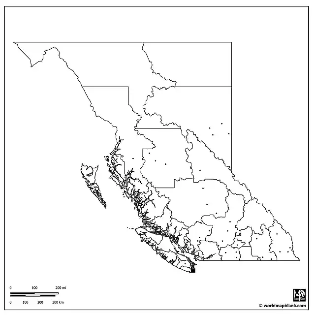
Apart from the capital city Victoria, the cities and towns marked on the map are (in alphabetical order): Armstrong, Barrière, Burns Lake, Chetwynd, Chilliwack, Cranbrook, Creston, Courtenay, Dawson Creek, Fernie, Fort St. John, Harrison Hot Springs, Houston, Hudson Hope, Invermere, Kamloops, Kelowna, Lake Cowichan, Langley, Lillooet, Merritt, Nakusp, Oliver, One Hundred Mile House, Parksville, Pemberton, Penticton, Prince George, Princeton, Quesnel, Salmo, Salmon Arm, Smithers, Sparwood, Terrace, Trail, Vancouver, Whistler, and Williams Lake.
Related Maps
- Blank Map of Canada
- Canada Map with Provinces
- USA Map with States
- Blank United States Map
- Blank Map of North America
Additionally, take a look at our printable and customizable Canada worksheets with great learning activities!
Related Posts


