Blank Map of Ohio – Printable Ohio Map Outline [PDF]
Download your blank map of Ohio from this page. You can get a JPEG image or a printable PDF file in A4 or A5 format. Click on the relevant download link under each image to get your free Ohio outline map.
While many blank Ohio maps are available on the internet, our collection stands out. We provide not just a simple outline map but also several blank map variations. For example, our cartography and GIS experts have created maps with markers for county seats as well as state and county borders, covering a wide range of possible uses.
Whether you’re a teacher, student, researcher, or traveler, our blank Ohio maps are crafted to meet your diverse needs. Use them for lesson planning, creating worksheets or presentations, and planning or tracking your trips. Check out our maps now!
Outline Map of Ohio
Ohio, known as “The Buckeye State” for its once abundant buckeye trees, is located in the Midwestern region of the United States. It’s bordered by Michigan, Pennsylvania, West Virginia, Kentucky, and Indiana, with Lake Erie to the north.
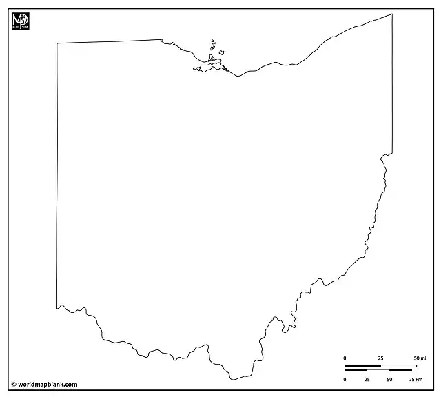
Our Ohio outline map above clearly depicts the state’s outer boundaries. While relatively simple, it is an excellent tool for geographical education about this U.S. state. It is best for drawing, shading, and marking exercises. For instance, teachers can ask their students to mark major natural landmarks like Hocking Hills, Cuyahoga Valley, Lake Erie, and the Serpent Mound on the map. It is also great to familiarize oneself with the shape of this US state.
Blank Ohio County Map
Ohio is divided into 88 counties, each with its own unique cultural and historical significance. Columbus, the largest city and state capital, is in Franklin County. The following map showing all Ohio county borders is perfect for various activities, from demographic studies to exploring the rich history of counties like Cuyahoga, Hamilton, or Summit.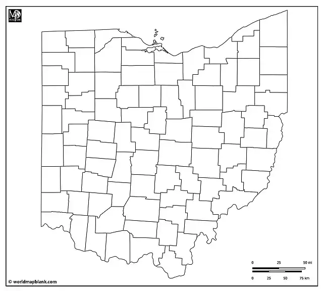
A possible classroom activity could involve students researching a particular county and presenting its economic, cultural, or historical attributes. The map can also be used for plotting historical and cultural sites, such as the Rock and Roll Hall of Fame, the Pro Football Hall of Fame, and the National Museum of the United States Air Force.
Blank Map of Ohio with County Seats
Each of Ohio’s counties has a county seat that serves as its administrative center. For example, Cleveland is the county seat of Cuyahoga County, while Cincinnati serves as the county seat of Hamilton County. This detailed map outlines the counties and marks their respective county seats, offering a comprehensive view of Ohio’s administrative geography.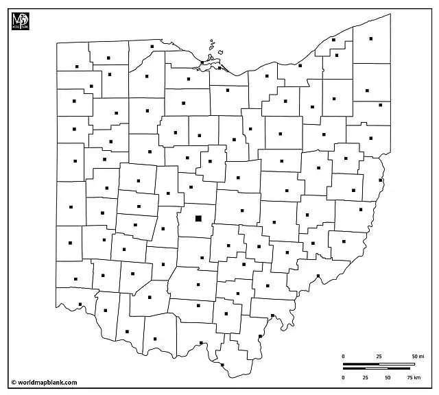
The above map can be used for learning and memorizing all the county seat names. Use a list of Ohio’s counties as your answer key for learning activities or exams. Another engaging activity could involve students conducting a detailed study of a county seat, focusing on its role in the state’s governance, historical importance, or cultural landmarks.
Blank Ohio Map with Cities and Towns
Besides Columbus, Ohio is home to other significant cities such as Cleveland, Cincinnati, Toledo, and Akron. The following map includes markers for these and other cities, offering an excellent resource for learning more about Ohio’s urban areas or planning travel routes through the state.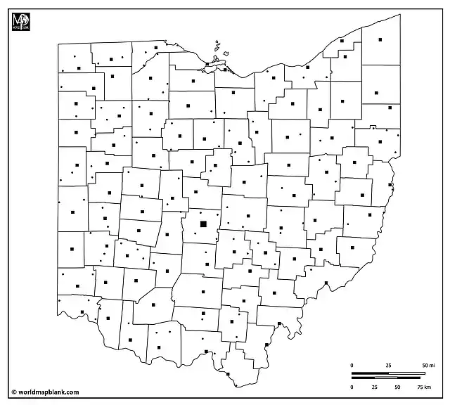
As an exciting activity, students can be tasked with creating a tourist guide for a chosen Ohio city, including attractions, historical sites, and local cuisine. They could also compile a visiting tour around Ohio or compare single cities in terms of population, facilities, history, politics, etc.
Apart from the county seats and the state capital, the following cities and towns are marked on the map (in alphabetical order):
Ada, Alliance, Archbold, Arlington, Ashville, Attica, Baltimore, Barnesville, Beaverdam, Beverly, Bradner, Bremen, Butler, Calcutta, Cardington, Carey, Cedarville, Columbiana, Continental, Coldwater, Corning, Danville, Delta, Dennison, Dresden, East Palestine, Edgerton, Evendale, Fairborn, Forestville, Fostoria, Fort Recovery, Galion, Harbor View, Haviland, Hebron, Hicksville, Holland, Jamestown, Johnstown, Kalida, Lakeview, Leipsic, Lexington, Lorain, Lucasville, Martins Ferry, Massillon, Marseilles, McComb, Milford, Milford Center, Miamisburg, Middletown, Mingo Junction, Montpelier, Moraine, Mount Orab, Mount Victory, New Albany, New Bremen, New Condord, New Washington, Newcomerstown, North Baltimore, Norwalk, Oak Hill, Oakwood, Octa, Orrville, Oxford, Parma, Pataskala, Peebles, Phillipsburg, Piqua, Plain City, Richwood, Rossford, Salem, Savannah, Seaman, Shelby, Solon, South Point, South Zanesville, St. Marys, Strasburg, Summerset, Tipp City, Union City, Urbancrest, Versailles, Warsaw, Waterville, Wellington, West Liberty, West Millgrove, Wheelersburg, Willard, Wellston, Worthington, Youngstown.
Blank Map of Ohio with Neighboring States
Our last blank map of Ohio includes the borders of all its neighboring states and showcases significant bodies of water, such as Lake Erie. This detailed map is our most comprehensive blank Ohio map, combining features of all other maps. It’s an excellent resource for teaching or learning about Ohio in relation to the surrounding states in the Midwestern USA and its relation to important water bodies like Lake Erie and the Ohio River.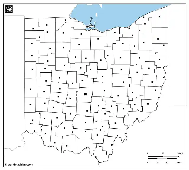
Use the above map to teach or learn all geographical features of Ohio at once – counties, county seats, state capital, neighboring states, and water bodies.
Related Maps
We offer many more blank and labeled U.S. state maps and other related maps for free download. Here are some examples:
- USA Map with States
- Blank North America Map
- Blank United States Map
- USA Interstate Highways Map
- Blank California Map
- Outline Map of Texas
Explore our collection to find the perfect map for your educational, research, or travel planning needs. All our maps are available in convenient formats and are easy to print, ensuring you have the best resources at your fingertips.
With maps created by:
Edelweise Shane Angeles is a skilled GIS Analyst and Cartographer from Davao City, Philippines. Holding a Bachelor's in Geology and Earth Science, he specializes in creating practical, clear maps using tools like Global Mapper, ArcGIS, ArcMap, and Google Earth Pro. Edelweise creates both blank and labelled maps for World Map Blank.


