Printable Blank Map of Mali – Outline, Transparent PNG map
The Blank Map of Mali can help all users who are looking forward to drawing a full-fledged map of the country. Such a map can also be considered as a good source of documentation for learning the geography of the country. Being located in the interior region of Western Africa, Mali is recognized as a land-locked country.
- Labeled Map of Asia
- Labeled Map of Europe
- Labeled Map of Africa
- Labeled Map of Antarctica
- Labeled Map of South America
- Labeled Map of North America
- Australia Labeled Map
- World Map With Continents
- Physical World Map
- Political World Map
- World Map with Oceans
- World Map Poster
- World Time Zone Map
- Labeled Map of World
- World Map with Longitude
- Blank Map of World
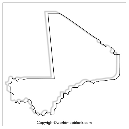
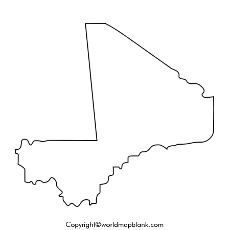
- Blank Map of Mali – Outline
The large portion of this country is situated in the northern reach, which extends deeply into the center of the Sahara. More than fifty percent of this country has an extremely hot, dust-laden desert region. Mali’s central portion is in the Sahel zone, which is a transition zone, between the savanna and the desert. In the north, it has borders with Algeria, and in the east, with Niger. In the south Mali has borders with Burkina Faso and Cote d’Ivoire, in the south-west, it has borders with Guinea, and in the west, Mali has borders with Mauritania and Senegal.
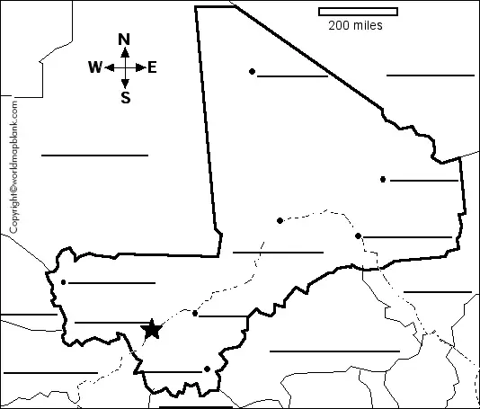
Mali is covered by a land area of 1,241,238 square kilometers. The country has the highest point known as, Mount Hombori Tondo. The changing climate of Mali varies from subtropical in the south to arid, hot and dry in the north. Mali blank map outline is useful as the best guiding tool of the country as it works as a guide to its user in drawing the accurate map of Mali. If the user is finding difficulty as how to begin drawing the map of Mali, then he or she should certainly opt for this Mali blank map outline.
Printable Map of Mali
Students and scholars are the users who search for a printable map of Mali, as they do not have to make any kind of special effort to draw a full-fledged map of the country. It can be said that drawing a map of Mali is considered as a cumbersome process for anyone who may not be interested to learn drawing the map of Mali, manually. The map can be utilized effectively for conducting tasks, like exploring the geographical regions of the country.
Transparent PNG Mali Map
Transparent PNG Mali Map is considered as an important source of a document through which the user can learn and visualize all the minute details of Mali’s geography. Through this map, it is possible for the user to focus and learn about a particular region of the country and prepare a final analysis of that region.
Blank Map of Mali for Practice Worksheet
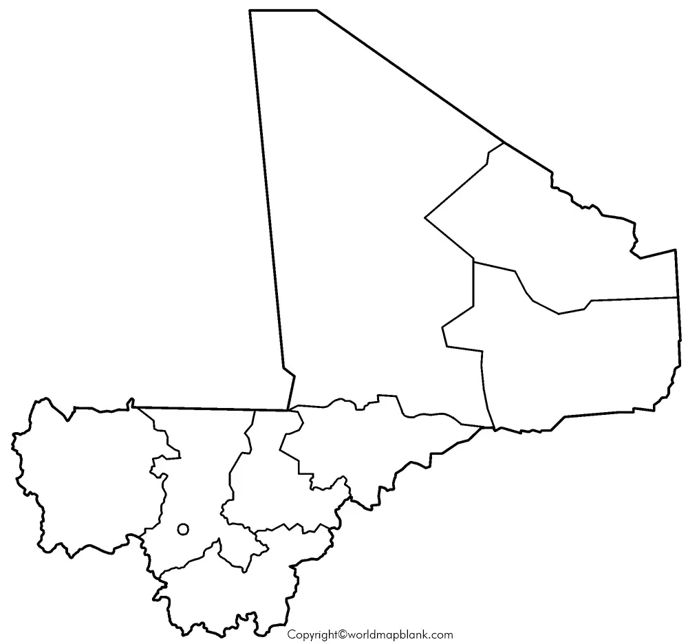
Many users of today search for a map of Mali with a practice worksheet that can help them to practice the previously studied geography of the country. Here, the user should seek the assistance of a practice worksheet map of Mali. The user can find a fully printable version of practice worksheet map of Mali, which is available in a well-designed form. Then, the user has to practice a number of times by answering the questions in the worksheet. This boosts his or her knowledge of the geography of Mali, tremendously.
Related Posts


