Printable Blank Map of Iran – Outline, Transparent, PNG map
Blank map of Iran is an interactive and very helpful medium of learning to draw the geographical map of the country. The map is comprised of the outlines which enable and guide the scholars to draw and understand the geography of the country with the utmost ease.
- World Map with Continents
- Labeled Map of Africa
- Labeled Map of Europe
- Blank Map of Asia
- Physical World Map
- Political World Map
- World Map with oceans
- World Map Poster
- World Time Zone Map
- Labeled Map of World
- World Map With Longitude And Latitude
- Blank Map of World
- Labeled Map of Africa
- Labeled Map of Europe
- Labeled Map of Antarctica
- Labeled Map of South America
Iran is basically known as the Islamic Republic of Iran a country, which is located in Western Asia. Tehran is the official capital and also the largest city of Iran with the majority of its population. As the name suggests Iran is the Muslim majority nation where 99% of its total population is the Muslim community. Persian is the official or national language of the country spoken by most Muslims.
Further talking about the geography of Iran, which is known as one of the world’s most mountainous countries having significant mountain ranges in its geographical structure. The Caspian Sea is the region where you can witness the majority of the plain land surface of Iran.
So, if you want to learn more about the geography of Iran then here we are providing you with the printable blank map templates of the country. These templates would guide you in learning and drawing the geography of the country so that you can get better in knowing this Nation from a closer view.
Iran Blank Map Outline
Well, blank map outlines template is always recommended to every such scholar, who is willing to learn or draw Iranian map for the very first time since drawing the map isn’t that easy without the outlines for any beginner.
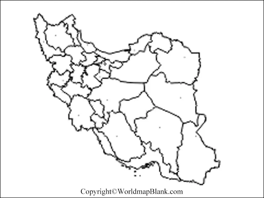
Our blank map outline provides full guidance to such schools by showing the outer boundary and overall shape of the country. Using this blank Iran map outline you can point out or portray the major structure of Iran’s geography.
You can check out the formal blank Iranian map outline here below for your reference.
Printable Map of Iran
If you want to have a quick view of Iran then you can check out our printable map variant of Iran. We have designed this printable map with the utmost clarity so that you can take up the view of any dimension from this printable map.
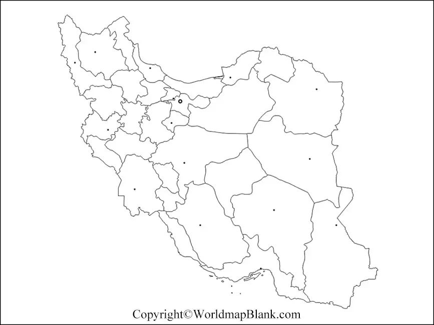
It is readily available for your quick access and you can easily print it with a single click. Moreover, this printable map of Iran can save a lot of your time and efforts and you can share it with other individuals as well.
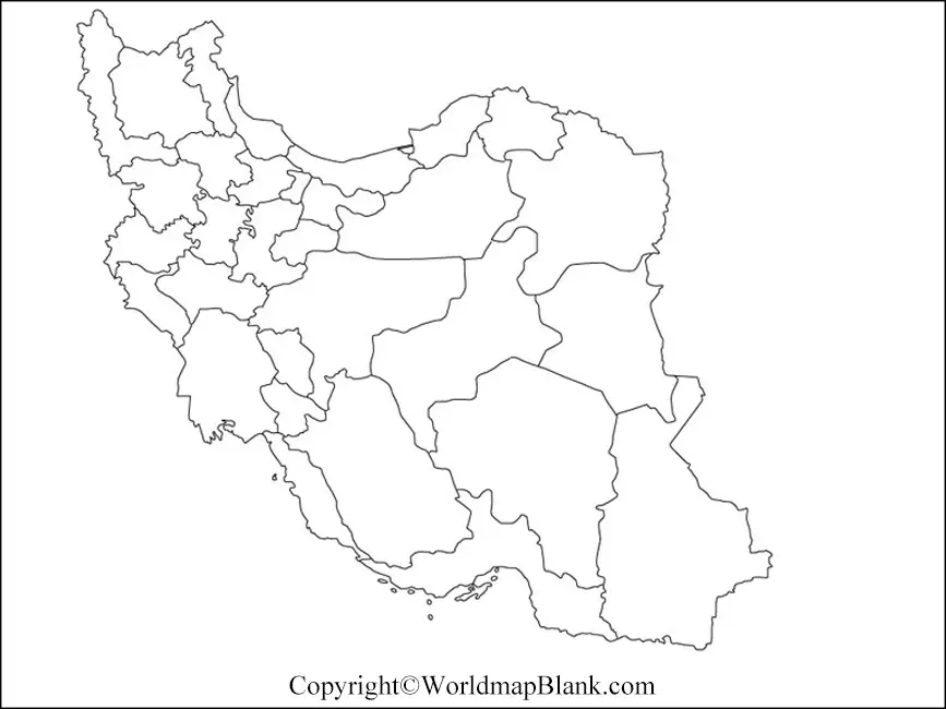
Transparent PNG Iran Map
A transparent map enables the users to have the utmost clarity of surface objects in the geography of Iran. This particular map is highly recommended if you are indulged in the research work and want to conduct your research on the specific objects of the country.

For instance, you might be interested in having a clear and closer look at Iran’s mountains so that you can understand or study the core characteristics of those mountains.
In such a scenario you are advised to have the transparent map of Iran, which you can check out here below in this section of the article.
Check out Here for—
India Blank Map
Indonesia Blank Map
USA Blank Map
Map of Iran for Practice Worksheet
We are having the practice worksheet of Iran’s map by which you can assess your knowledge about the geography of Iran. In this worksheet, you will find the random questions about the geography of the country, which you have to solve with your core understanding of the map.
So, if you want to check your level of knowledge and understanding, then we urge you to take up this practice worksheet from here.
Related Posts


