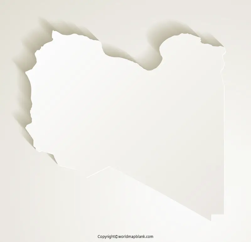
Printable Blank Map of Libya – Outline, Transparent, PNG map
Libya is a country located in the North Africa’s Maghreb region and is shown in a Blank Map of Libya. The Libyan desert is covered by about ninety percent of the country’s total area, which is a part of the Sahara. Only in a few scattered areas of the country agriculture activities are possible. Further, the main population centers are spread along with the more fertile agricultural land near the coast of the Mediterranean Sea. Libya’s border countries include Tunisia, Sudan, Niger, Egypt, Chad, Algeria, and it has shared maritime borders with Malta, Italy, and Greece.
- World Map with Continents
- Labeled Map of Africa
- Labeled Map of Europe
- Blank Map of Asia
- Physical World Map
- Political World Map
- World Map with oceans
- World Map Poster
- World Time Zone Map
- Labeled Map of World
- World Map With Longitude And Latitude
- Blank Map of World
- Labeled Map of Africa
- Labeled Map of Europe
- Labeled Map of Antarctica
- Labeled Map of South America
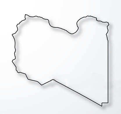
Blank Map of Libya – Outline
Libya Blank Map Outline has plenty of details and is a clear map that has a layout of boundaries enabling the user to use it as per his or her choice. Depending on the user’s favorites, the labels and the geographical features of the country can be chosen. Libya blank map outline formats are available absolutely free of cost.
Hence, the user can get a free map of Libya’s outline and this is considered as the geographical representation of Libya. There are several uses of the outlined blank map of Libya. One of them is that this map can be effectively used for the purpose of surveying. Other uses include analysis of climate changes, getting a better in-depth knowledge of areas and places, discovering new places, finding directions to a place, and project work completion.
Printable Map of Libya

A printable map of Libya reflects all the information associated with its geography details. It is possible for the user to adopt it wherever he or she prefers and is available free of cost. The printable map of Libya can be printed at home or with the help of a nearby cyber-service provider in the market.
Transparent PNG Blank Map of Libya
Any researcher or a student learner will be able to visualize a transparent PNG Libya map that reflects all the geographical objects in the transparent form in place of the solid form. Accordingly, the user can readily have a transparent PNG Libya map and gain a piece of in-depth knowledge by studying all the objects, like rivers, desert portions, plain agricultural lands situated in the country.
Map of Libya for Practice Worksheet
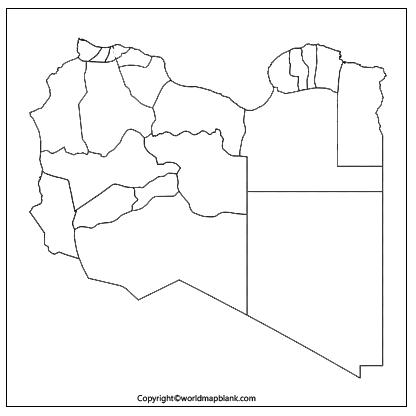
If the student or the researcher prefers to check his or her level of knowledge about the geography of Libya, he or she should plan to work on the worksheet of the country’s map. Through this, the user will be able to assess the level of knowledge of Libya’s geography. It can also be seen that this worksheet will assist to strengthen the knowledge of the subject on weak points. In this digital era, it is always possible for the user to gain access to a well-designed format of the worksheet of Libya. This document covers all the aspects associated with the geographical aspects of the country, for effective learning. Hence, the user can refer to such a worksheet regularly, using repeated sessions at home, and gain confidence while preparing for an examination or classroom study.
Related Posts


