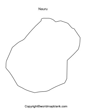
Printable Blank Map of Nauru – Outline, Transparent, PNG map
Student or the researcher can get the Blank Map of Nauru by browsing on the web and download it. This will enable me to practice and draw a full-fledged map of the country. This is done on the basis of a blank map of the Nauru template. Nauru is recognized as a small island country, situated in Micronesia, northeast of Australia. Fringed with palms, Coral reefs and white-sand beaches, including on the east coast of Anibare Bay, are the primary features of Nauru. The inland of the country is surrounded by tropical vegetation.
- World Map with Continents
- Labeled Map of Africa
- Labeled Map of Europe
- Blank Map of Asia
- Physical World Map
- Political World Map
- World Map with oceans
- World Map Poster
- World Time Zone Map
- Labeled Map of World
- World Map With Longitude And Latitude
- Blank Map of World
- Labeled Map of Africa
- Labeled Map of Europe
- Labeled Map of Antarctica
- Labeled Map of South America
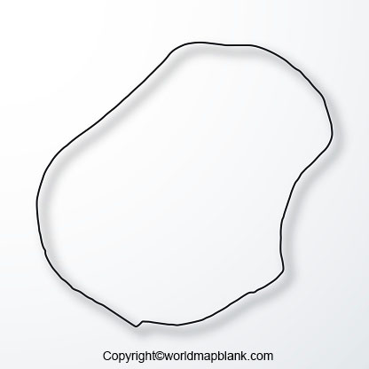
Blank Map of Nauru – Outline
The terrain of the country has a rocky outcrop of Command Ridge, which is the highest point of Nauru. The current population count of Nauru is 10,824 people, which is based on the latest estimates of the United Nations data, as on July 1, 2020. It may be seen that this island has no official capital city, and doesn’t really have any cities at all. Most widely spoken language is English, and Nauruan is the official local language spoken in the country. Phosphate mining is the main economy of the country as it is historically based. Here, the principal source of revenue is the export of Phosphate, but the reserves of this mineral is running dry. However, the country is expected to diversify its sources of income in the future.
The primary religion is Christianity, and other religions include Confucian, Buddhist, and Taoist. If the student or researcher plans to draw an accurate map of Nauru, he or she should seek guidance by finding a blank map outline of Nauru available on the web. From this map, he or she will be able to find the overall structure of the boundaries of Nauru. With the assistance of such a map, it is possible for the student or the researcher to draw a complete map of the country.
Printable Map of Nauru
If the objective of a student or the researcher is to have just a quick overview of Nauru’s geography, then it is suggested to go for a printable map version of the country. With this map, he or she doesn’t have to make any kind of special effort to draw a blank map, manually. Instead, he or she can use a printable map of Nauru, which meets the desired purpose.
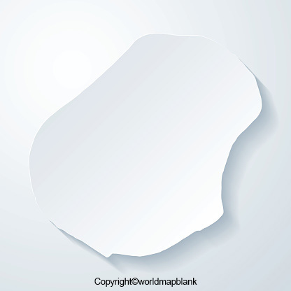
Transparent PNG Blank Map of Nauru
In general, it can be seen that the student or the researcher can have a solid form of map structure of any country’s geography through the use of a transparent map. Such a map, helps the user to visualize all the details of the geography of Nauru in a realistic as well as clear transparent mode.
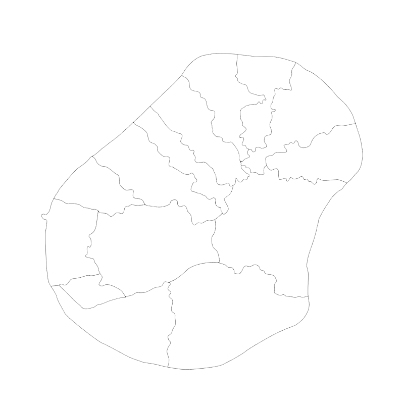
Map of Nauru for Practice Worksheet
If the student or the researcher is about to face any examination regarding the geography of Nauru, he or she should possess a specially designed practice worksheet, which is readily available. Practicing regularly to answer questions on this worksheet will boost knowledge about the geography of Nauru and face the examination with total confidence.
Related Posts


