Printable Blank Map of Niger – Outline, Transparent, PNG map
If the student is studying the geography of Niger, then a Blank Map of Niger can help in learning the geographical features of the country. By doing this, the student will be able to understand the features of the country in a detailed manner. Niger or the Niger is a landlocked country, situated in West Africa and is officially called, the Republic of Niger. It has borders with Libya in the northeast.
- World Map with Continents
- Labeled Map of Africa
- Labeled Map of Europe
- Blank Map of Asia
- Physical World Map
- Political World Map
- World Map with oceans
- World Map Poster
- World Time Zone Map
- Labeled Map of World
- World Map With Longitude And Latitude
- Blank Map of World
- Labeled Map of Africa
- Labeled Map of Europe
- Labeled Map of Antarctica
- Labeled Map of South America
Blank Map of Niger – Outline
This country is named after the Niger River; has also borders with Chad in the east, Nigeria in the south, and Benin and Burkina Faso in the southwest. In the northwest, it has borders with Algeria and Mali. The land area covered by this country is approximately 1,270,000 kilometers or 490,000 square miles. This area makes the country the largest in the region of West Africa. However, more than eighty percent of the land area of Niger is situated in the Desert of Sahara. The estimated population of Niger is 24,206,644 people. There are eleven languages; Hausa being the most spoken language in Niger, but the official language is French. From the printable maps of the country, the student can get all the details of the geography.
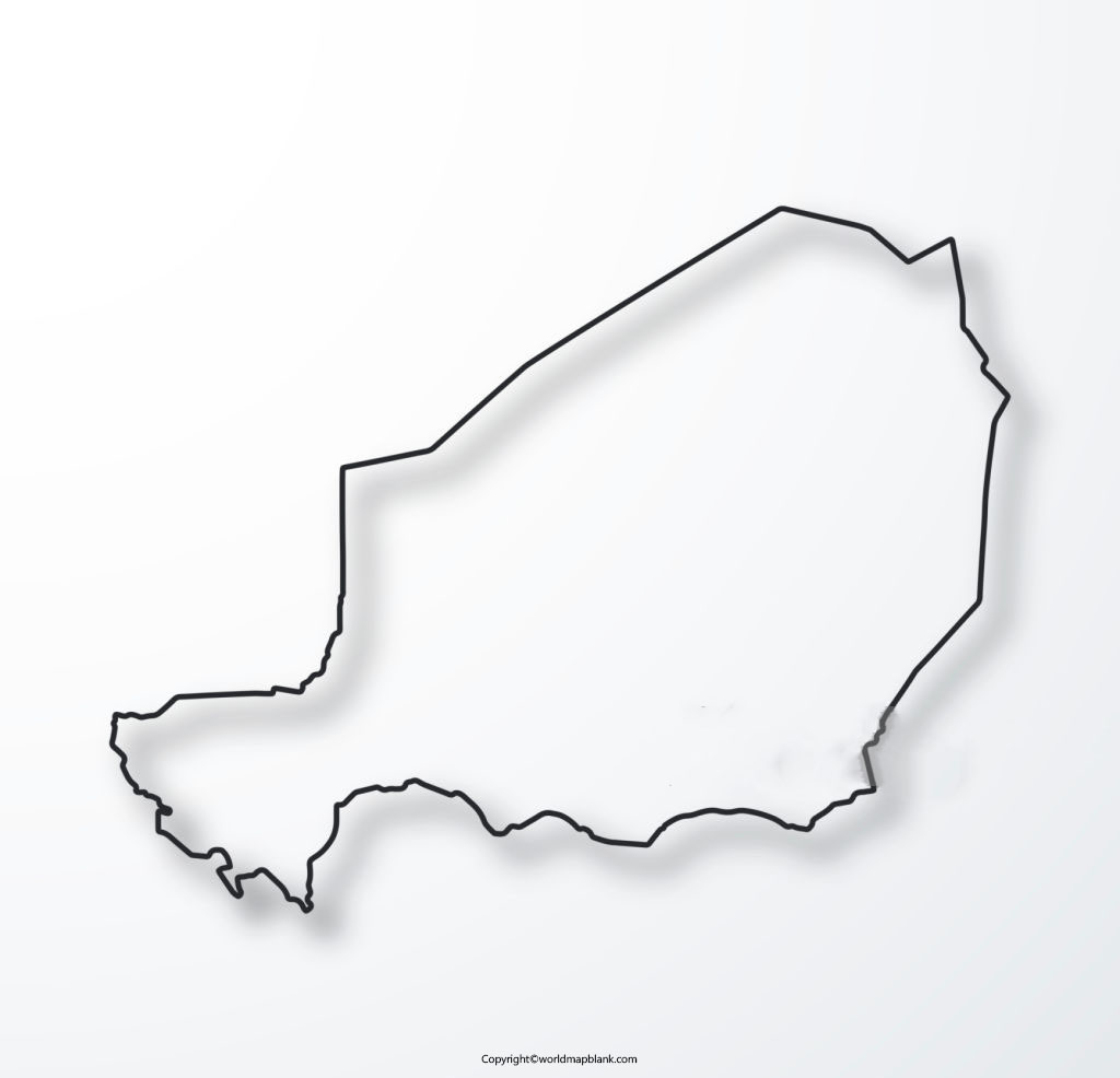
However, drawing a map of any country is not very easy without the proper guidance, as a little mistake can create errors in the shape of the country. Hence, students are recommended to use the blank outlined map of the Niger, as the guiding tool to draw an accurate map of the country.
Printable Map of Niger
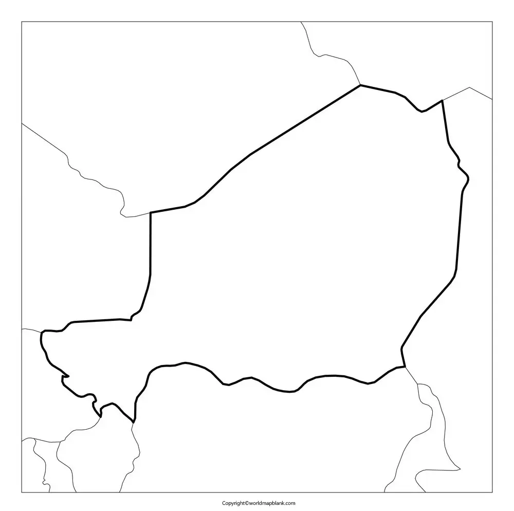
In this modern age of the internet, students generally prefer to access a printable maps of Niger as it requires almost no effort to draw the map, manually. Besides, such a printable map is ideally used by every student community whether it is in the educational domain or just in exploring the country.
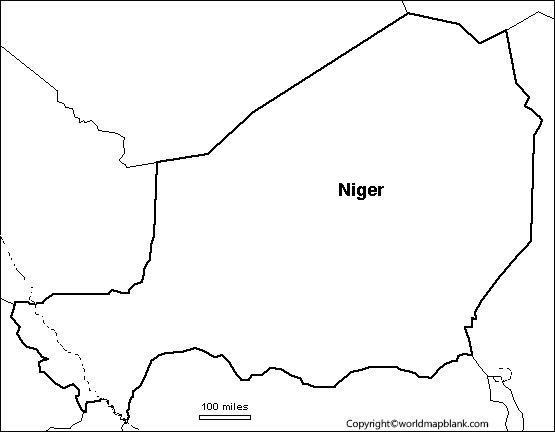
Transparent PNG Blank Map of Niger

There are so many varieties of Niger maps available in the market, but a transparent one is always found to be unique. In the transparent map of Niger, the student can visualize a detailed picture of several regions in the geography of this country. If the student is planning to do some research work on the mountain regions of Niger, then it is essential for him or her to have a transparent map of the country. This will give an in-depth knowledge about the mountains or rivers. Similarly, the student can try to view other geographical objects of this country as per his or her requirements.
Map of Niger for Practice Worksheet
Kids and other learners of the geography of Niger can now perform their regular practice of working on practice worksheets. This will help them to improve their knowledge of the geography details of the country, thoroughly. The map of Niger for practice worksheet has been specially designed with the integration of some general questions related to the country’s geography. Through the use of such worksheets, students can answer questions in a given time frame.
Related Posts


