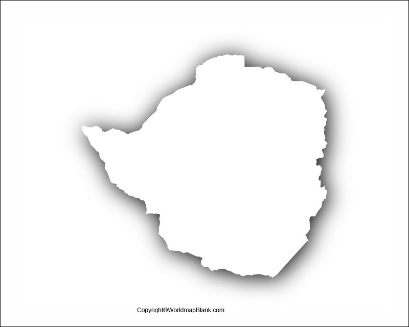
Printable Blank Map of Zimbabwe – Outline, Transparent, PNG map
Our blank map of Zimbabwe can assist all those users, who are looking forward to drawing the full-fledge map of the country. This map can also be considered as the source of learning the geography of the country.
The Republic of Zimbabwe or just Zimbabwe is a Southern African landlocked country, whose capital is Harare. The country shares its border with Zambia, Mozambique, Botswana, and South Africa which makes it as the prominent land of Africa.
- World Map with Continents
- Labeled Map of South America
- Labeled Map of Africa
- World Map With Longitude And Latitude
- Labeled Map of Europe
- Labeled Map of Africa
- Blank Map of Asia
- World Time Zone Map
- Physical World Map
- Labeled Map of Antarctica
- Political World Map
- Blank Map of World
- World Map with oceans
- World Map Poster
- Labeled Map of World
- Labeled Map of Europe
Zimbabwe is a very divers Nation that has the population over 14 million and due to its diversity, it has over 16 official languages spoken over the different parts of the country. Further talking about the demography of a country where the major religion is Christianity since over 85% of people residing in Zimbabwe are Christians and rest are the migrants from other countries sharing the different religions.
Zimbabwe being the landlocked nation is very far from the ocean and is comprised of typical landlocked characteristics, such as its mountains, hills, dessert, etc.The eastern part of the country is extremely mountainous and the rest of the region is all elevated. Our printable maps of Zimbabwe are going to disclose much about the geography of the country therefore we urge you to read the whole article and get the desired style map of Zimbabwe.
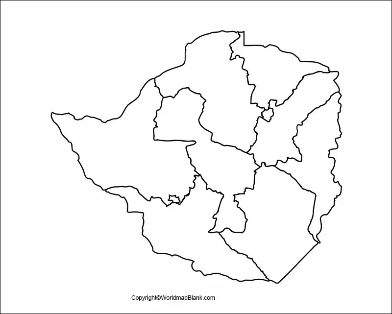
Blank Map of Zimbabwe – Outline
The outlined map of Zimbabwe is known as the guiding map of the country, since it assists or guides the users in drawing the accurate map of Zimbabwe.
If you are feeling clueless as to how you should begin drawing the map of Zimbabwe, then you should definitely opt for this Zimbabwe blank map outline. You will find the overall shape and the outer border structure of Zimbabwe in this map.
Printable Map of Zimbabwe
Well,with our printable map of Zimbabwe our users don’t have to make efforts on drawing the full fledge map of country, which is very cumbersome for anyone who doesn’t want to learn drawing the map of Zimbabwe.
This map is readily usable which means you can just directly use it for exploring the geography of Zimbabwe or as your guiding tool to visit the country next time.
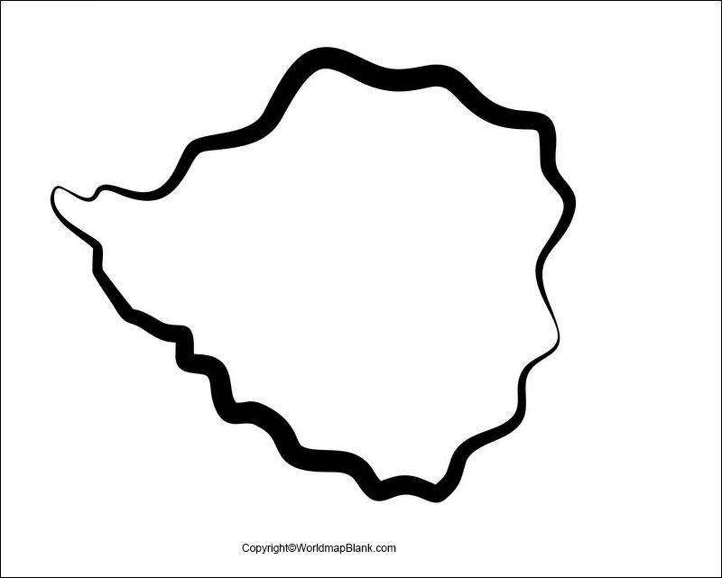
Transparent PNG Map of Zimbabwe
Transparent map of Zimbabwe is one such map in which users can have the inside out view of complete Zimbabwe’s geography, whether you want to look up the particular object of country or the overall shape.
Further this transparent map of Zimbabwe can be very useful in the research work for our users.

Map of Zimbabwe for Practice Worksheet
Well, if you are looking forward for one such map of Zimbabwe, which can help you in practicing the learned geography of the country then you should seek out the practice worksheet map of Zimbabwe.
Here we have the fully printable worksheet map of Zimbabwe, which can certainly help you in boosting your geographical knowledge about Zimbabwe through its practice set.
Related Posts


