Labeled Map of Maldives with States, Capital & Cities
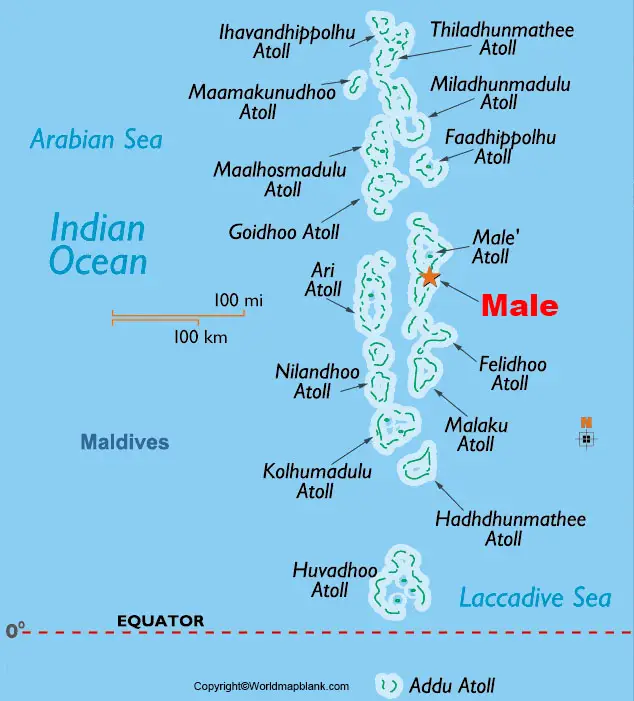
While examining the Labeled Map of Maldives, it can be inferred that it is recognized as an island nation. It is located in the region of the Laccadive Sea, which is a part of the Indian Ocean. This island nation is situated at a distance of about 430 kilometers or 265 miles, southwest of India. These islands appear as the peaks of a massive type of submarine mountain range known as, the Chagos-Maldives-Laccadive Ridge.
- World map with continents
- Physical world map
- Political world map
- Labeled map of Asia
- Labeled map of Africa
- Labeled map of Europe
- Labeled map of Antarctica
- Labeled map of South America
- World time zone map
- Labeled map of World
- World map with Latitude
- Blank map of world
- Labeled map of North America
- Blank map of Asia
- World map with oceans
- World map poster
This volcanic ridge and the oceanic plateau get extended between the Central Indian and the Northern Ocean. Further, the nation Maldives is a group of 1,192 islands located in the south-west direction of Sri Lanka and India as well as in the Indian Ocean. However, the islands appear so small that several global maps do not show the Maldives. It is recognized as an independent country under the name of The Republic of the Maldives. The Maldives also shares maritime borders with India, Sri Lanka, and British Indian Ocean Territory.
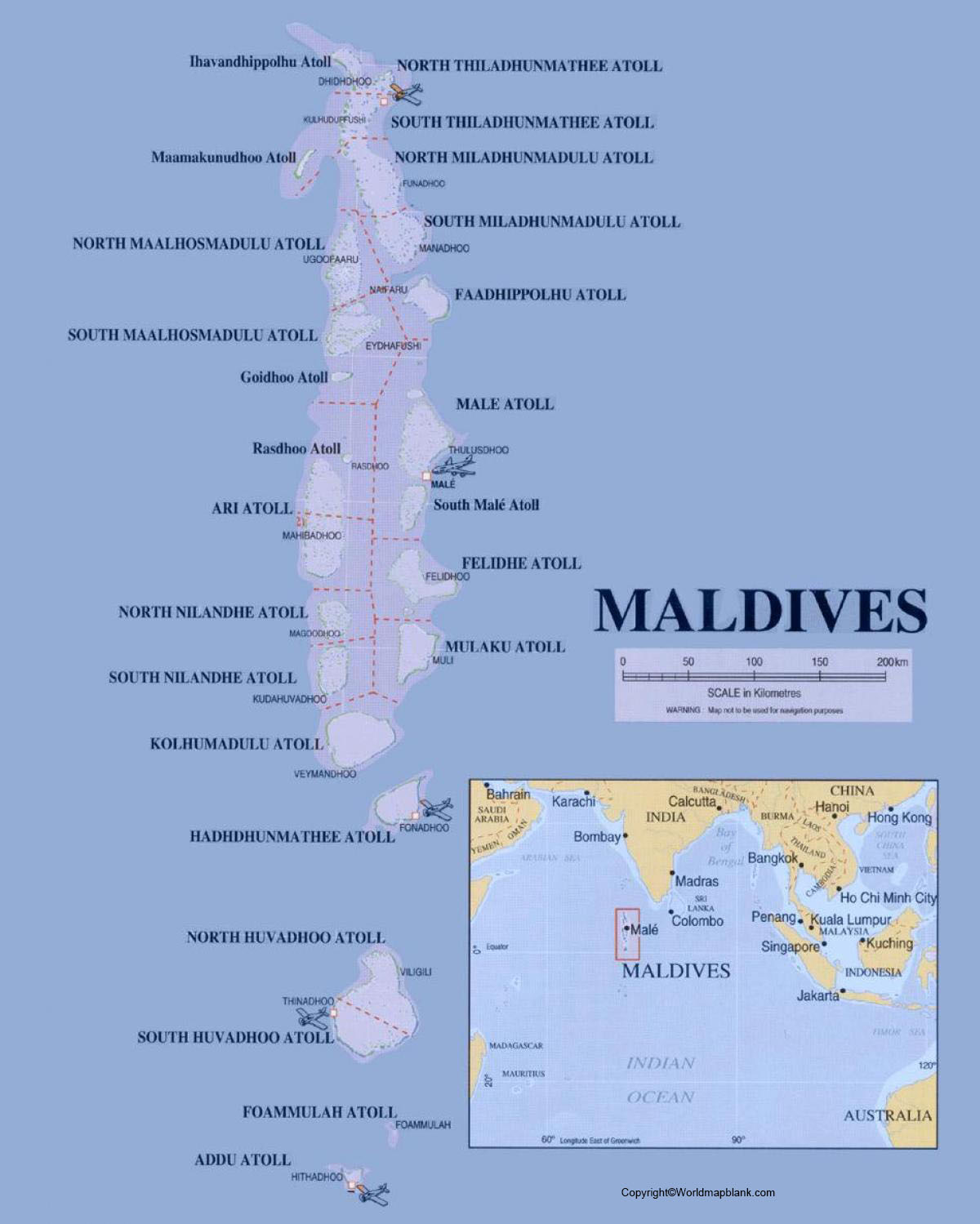
Labeled Map of Maldives
As on Wednesday, August 26, 2020, the current population of Maldives stands at 541,943 people. This population of Maldives is equivalent to 0.01% of the total global population. The total land size of Maldives is measured as 298 square kilometers or 115 square miles. This land area makes the country as the smallest in Asia. The Maldives has no hills and consequently, it has no rivers. The state religion is Islam and hence, Muslims are permitted to hold citizenship in the country. Accordingly, they may practice Islam religion only.
Labeled Map of Maldives with State
As a part of the labeled map of the Maldives with states, depicted on the map are the locations of inhabited Maldives islands. They are grouped from north to south by their administrative divisions in the country. The Maldives is divided into seven provinces or states. The twenty-six natural atolls and other isolated groups of islands are further categorized into twenty-one divisions.
Labeled Map of Maldives with Cities
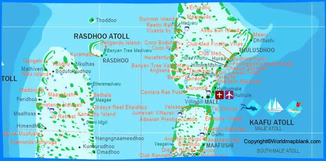
As a part of the labeled map of Maldives with cities, some of the names of the cities, include Malé, Fuvahmulah, Hithadhoo, and Kulhudhuffushi.
Labeled Maldives Map with Capital
Through the labeled Maldives with capital, it can be seen that Male is recognized as the densely populated capital city of Maldives. The nation is famous for colorful buildings and mosques. The city’s Centre for the Islamic religion features a mosque consisting of a library and a golden dome. The city has a harbor with a popular fish market that offers the catch of the day, and also a local fruit market.
The Maldives houses the government including central courts, hospitals, private and public schools with the medium of instruction is English. The city has a training school imparting vocational training on engineering discipline. Male is a prominent tourist as well as a trade center as it is connected with India and Sri Lanka through steamship lines. There is an International Airport that handles both international and domestic flights. The main products of Male, include fish, coconuts, breadfruit, and woven palm mats.
Related Posts


