Printable Blank Map of Armenia – Outline, Transparent Map
We are here providing printable collections of blank Armenia map templates. You users can use these templates to explore and understand the geography of Armenia. The Republic of Armenia is a landlocked country. The Country is located in the Eurasia continent. Armenia is sharing its border with Georgia, Turkey, Azerbaijan, and the Republic of Artsakh.
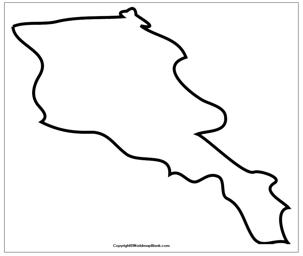
- Blank Map of Armenia
- Blank Map of Ethiopia
- Blank Map of Egypt
- Blank Map of Armenia
- World map with longitude and latitude
- World map with continents
- Blank map of World
- labeled map of Asia
- Physical map of World
- Labeled map of Africa
- Blank Map of Egypt
- Labeled map of Europe
- World map poster
- World map with oceans
- World time zone map
- Labeled map of Antarctica
- Blank Map of Ethiopia
- Blank Map of Azerbaijan
- Labeled map of World
- Labeled map of South America
- Blank Map of Sudan
- Labeled map of North America
- Blank map of Asia
- Blank Map of France
- Blank Map of Armenia
- Political world map
- Blank Map of Finland
- Blank Map of Fiji
- Blank Map of Armenia
- Blank Map of Fiji
- Blank Map of France
- Blank Map of Finland
- Blank Map of Azerbaijan
- Blank Map of Sudan
Yerevan is the official capital city of Armenia. This city is also considered as the largest city of Armenia due to its population base. The majority of Armenian citizens speak the Armenian language. Armenia is one of those countries, whose topography includes a huge range of mountains. There are plenty of mountains in the geography of Armenia. You can also witness the significant forested region in the country with the fast-flowing rivers.
Mount Ararat is the world-famous mountain of Armenia. It is now although the part of Turkey, yet its considered the pride mountain of the country. The same mountain is present or the part of the country’s National emblem.You can clearly witness it from any local region of Armenia.
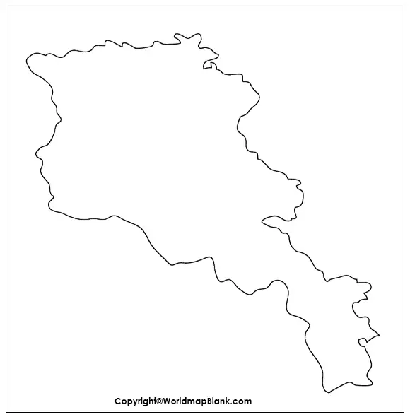
Blank Map of Armenia – Outline
Armenian economy is shrunk in the current scenario. It is dependent mainly upon the remittances of foreign Armenians.The government of Armenia is making much efforts to revive the industrial sector of country.
Here below we are compiling the several kinds of Armenian maps printable maps templates. You can use these templates for any of your purposes. This outline blank map template of Armenia is meant for beginners users. Users can use this template, as the guiding source to draw the accurate map of Armenia.
Printable Map of Armenia
Printable maps are quite a in trend these days, as these maps are easily accessible for anyone. You can just simply print this printable map on one click and use as you want. We are also providing our users with a fully printable map of Armenia.
You can use this printable map in your personal usage to explore Armenia. You can also use this printable map to teach the geography of Armenia.
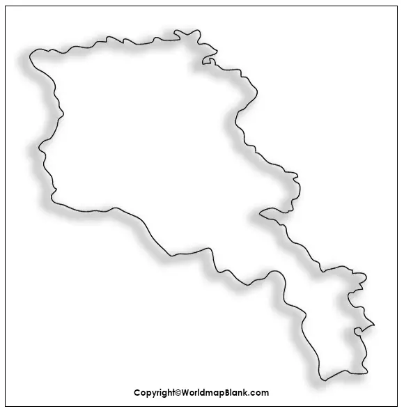
Transparent PNG Armenia Map
There are many users who prefer the transparent view of Armenia. Our transparent map provides fully transparent geography of Armenia. The advantage of a transparent map is that it provides the utmost clarity of every object. The climate of the country is typically continental in nature.
You can witness the June to September full season of summer with the temperature reaching as high as 36 degrees. So, as an overall climate, you can enjoy the decent vibrant weather in Armenia with snowy winters. Once upon a time Armenia was completely based on industrialization. It used to be the hub of machinery production, textile production, rubber, food packaging, etc.

Map of Armenia Practice Worksheet
You can assess your geographical knowledge of Armenia with our practice worksheet.
We are having a practice worksheet of Armenia in this section of the article. You can use this worksheet to check the level of your knowledge and understand everything in a clear manner.
Related Posts


