Printable Blank Map of Sudan – Outline, Transparent, PNG Map
If you are a scholar and learning the geography of Sudan then our printable blank map of Sudan can be a decent source of learning for you. We are having different kinds of printable templates of Sudan to make your learning fully practical. Sudan is a significant country of the African continent. It is located in the Northern African region. It shares its border with Egypt, Ethiopia, Libya, and Chad countries at its different sides.
- Blank Map of France
- Blank Map of Armenia
- World map with longitude and latitude
- Blank Map of Armenia
- World map with continents
- Blank map of World
- Labeled map of North America
- labeled map of Asia
- Physical map of World
- Labeled map of South America
- Labeled map of Africa
- Blank Map of Egypt
- Blank Map of Ethiopia
- Labeled map of Europe
- World map poster
- Labeled map of Antarctica
- World map with oceans
- World time zone map
- Blank Map of Azerbaijan
- Labeled Map of World
- Blank Map of Sudan
- Blank map of Asia
- Political Map of World
- Blank Map of Finland
- Blank Map of Fiji
Sudan is having an estimated population of over 43 million people. Due to this, it on the stand of Africa’s third-largest populated country. Khartoum is the official capital city of Sudan and Sudanese/Arabic are the official languages of the country spoken by the majority of its citizens.
The economy of Sudan is primarily based on Petroleum or the oil fields. It is exported by Sudan to the International markets. Agricultural is the main sector of the country which attributes the maximum share of jobs to citizens of Sudan which is over 80% shares.
Geography of Sudan is divided among the various kinds of terrains, as you can find the varieties of them such as flat terrains, broken terrains etc. Marrah mountain is the highest mountain point in the country while the blue and white tile is the main rivers of the country.
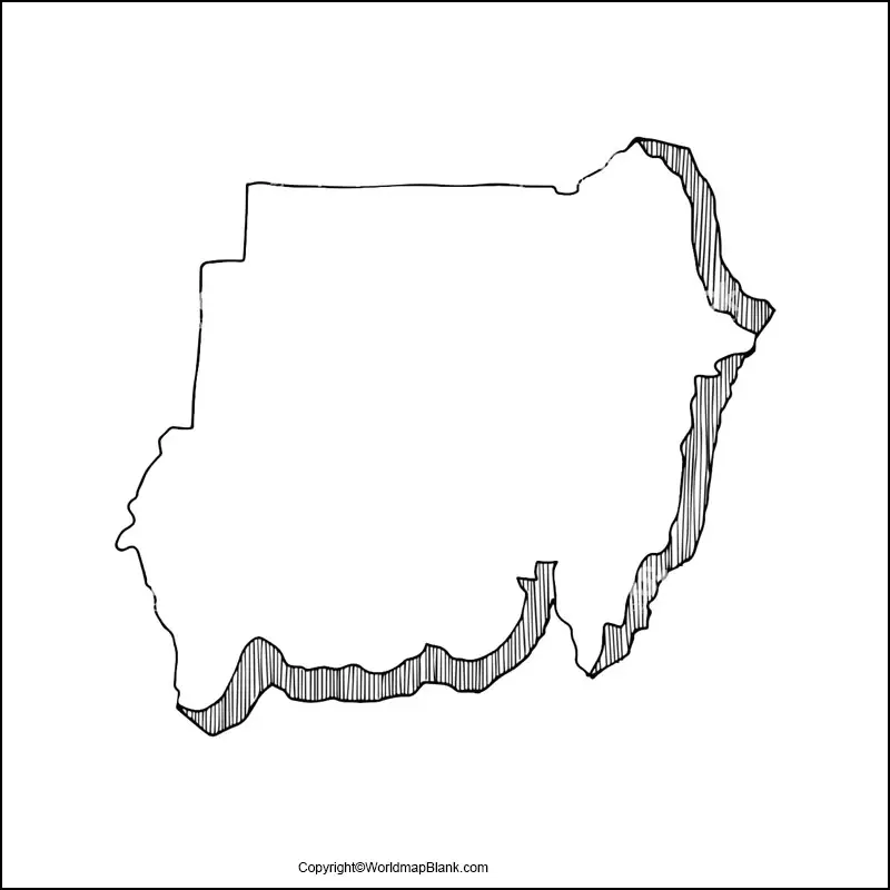
Blank Map of Sudan – Outline
Arab is the main ethnic community of Sudan which contains more than 70% of the population base in the country. Other minor community-based include Sudan Nubians, Zurga, and Copts ethnic groups and there are over 70 unofficial languages spoken by the native people.
All students who are learning the geography of Sudan and want to draw the map of Sudan on the basis of their knowledge. They can refer to this blank outlined map of Sudan. This map will guide those students by providing them these raw outlines about the outer structure of the country. Anyone can draw the decent and accurate map of Sudan with this blank outlined map variant of Sudan.
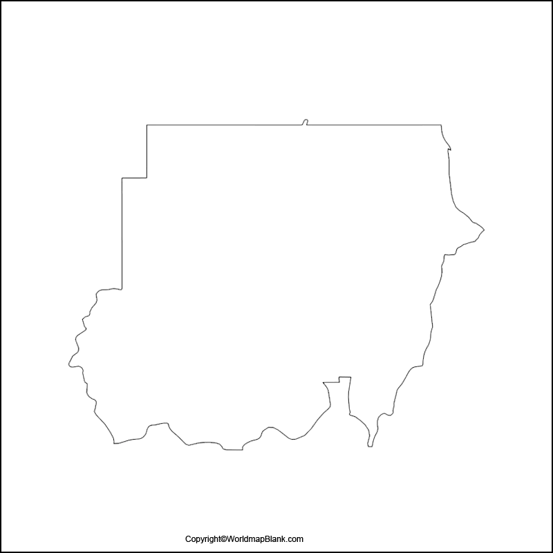
Printable Map of Sudan
If you are not willing to make efforts on drawing the Sudan’s map on your own, rather want to have a quick overview of Sudan’s geography then this printable map of Sudan is for you.
We have made this map fully readily usable for our users. So that they don’t have to waste their time in its preparation. They can just directly use it. It can be used both by the teachers and the scholars as well in their respective teaching and learnings.
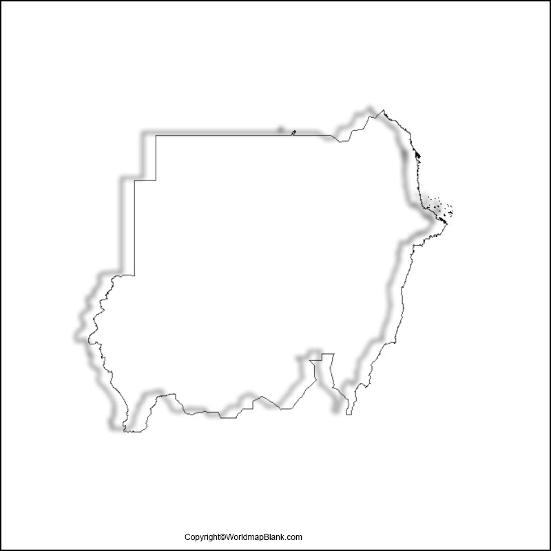
Transparent PNG Map of Sudan
Check out the transparent map of Sudan and get to see the geographical objects of the country in a more realistic way. With this transparent map users can have a thorough view of any objects lying in-country. Whether it’s the oilfields of Sudan or the agriculture land of country.
This map is very potent in the research work of users.
Map of Sudan Practice Worksheet
If you want to boost your knowledge of Sudan’s geography, you should use this worksheet. We always suggest you practice your knowledge in the regular interval period of time since the practice makes it perfect.
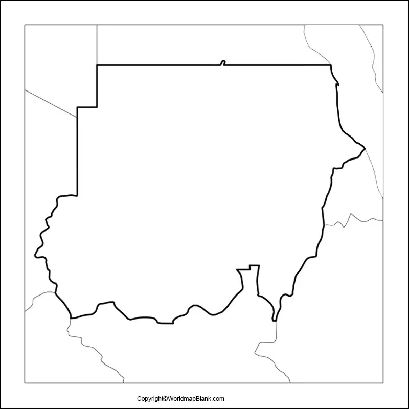
You can take up the practice worksheet of Sudan to check your knowledge or to practice your knowledge. This practice worksheet can be also used by the teachers in conducting the test of Sudan’s geography for the students.
Related Posts


