Blank Map of South Carolina with Counties [JPEG/PDF]
Download from this page different versions of a blank map of South Carolina. We offer not only simple outline maps but also blank map variations featuring city markers and neighboring states. Get your South Carolina outline map as a JPEG image file for digital applications or a printable PDF file. Whether you’re an educator, student, historian, or traveler, our South Carolina blank maps will fulfill your specific requirements with precision.
To complete your collection, we also offer many other blank US state maps as well as USA map worksheets. Check them out!
South Carolina Outline Map
South Carolina is known as the “Palmetto State” and is situated in the southeastern United States. The state uses the palmetto tree as its symbol in memory of the defense of the palmetto log fort on Sullivan Island against the British fleet in 1776. Its capital city is Columbia.
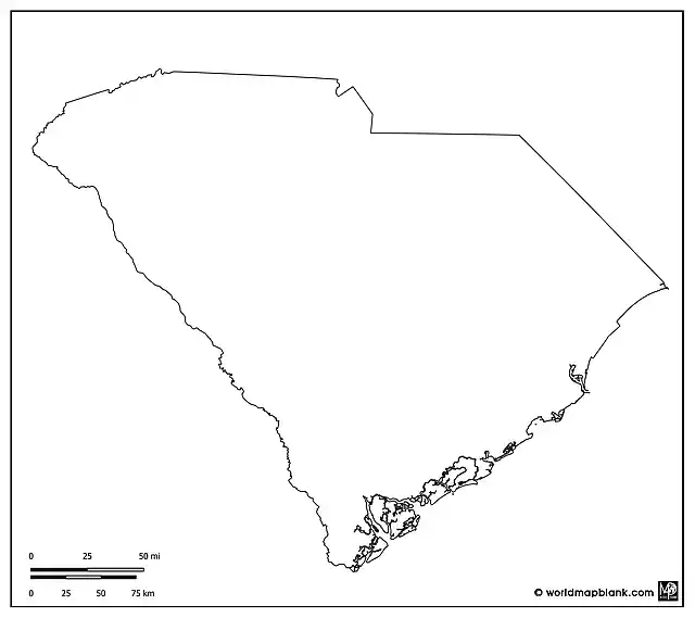
South Carolina’s neighboring states are North Carolina to the north and Georgia to the southwest, while the Atlantic Ocean lies to the east. Our first map is an outline map of South Carolina that provides a clear depiction of the state’s contours. You can download this and all other maps by clicking on the relevant links below each image.
Download as PDF (A4)
Download as PDF (A5)
Download as JPEG
The above SC outline map is an excellent resource for understanding the state’s shape and the layout of its borders. It can serve for many learning activities, such as coloring or drawing exercises. Marking geographical features like the Savannah River or the Blue Ridge Mountains could be another activity idea.
Blank Map of South Carolina
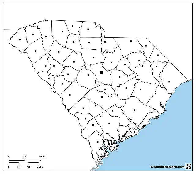
Our following blank map of South Carolina includes the state borders of South Carolina to its neighboring states of North Carolina and Georgia. It also shows the SC county boundaries and county seats. A part of the Atlantic Ocean is depicted as well.
Download as PDF (A4)
Download as PDF (A5)
Download as JPEG
This map can be used for exercises about the administrative divisions of South Carolina and its location in relation to other US states. Students can also add all the city names to the map.
Blank South Carolina Map with Counties
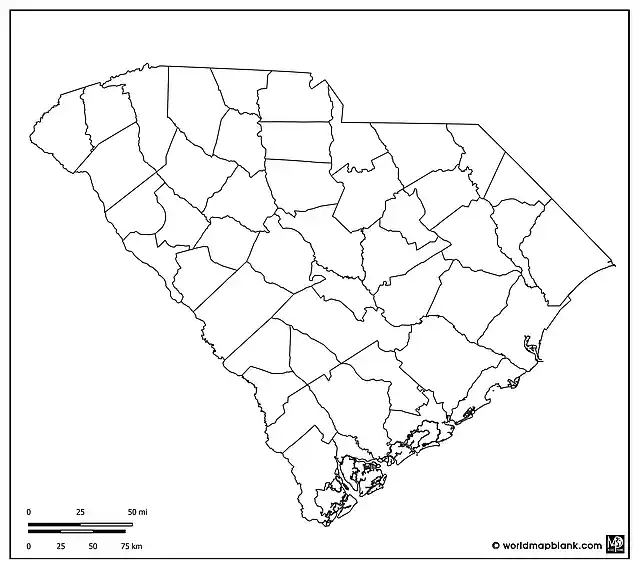
South Carolina has 46 counties which are shown with its borders in our following map. This version does not include any markers for county seats or the state capital. It can be used to track election results or for learning and marking all the names of the SC counties on the map. For example, it is a great map for tests, map worksheets, or homework assignments. But it could also be shaded in different colors to illustrate population density or other demographic values.
Download as PDF (A4)
Download as PDF (A5)
Download as JPEG
Further below, we offer variations of this map that also include markers for the county seats and additional cities and towns.
Outline Map of South Carolina with County Seats
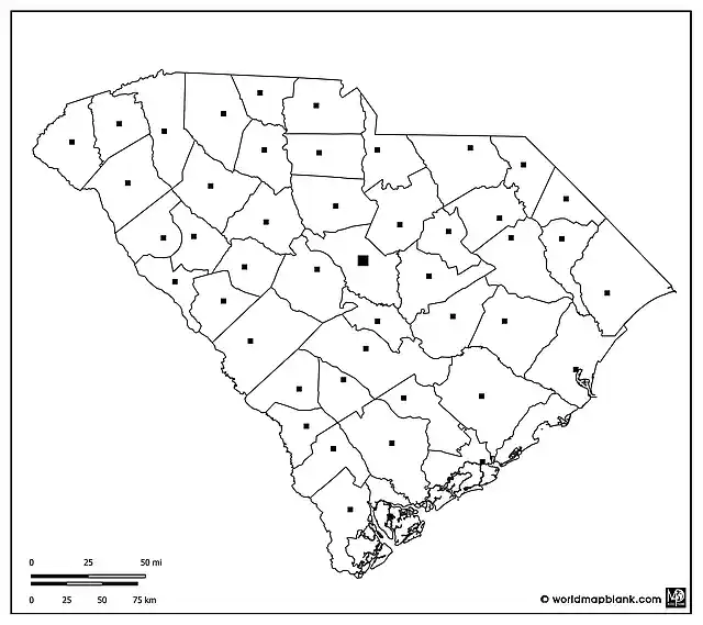
Each county in South Carolina has a county seat that functions as its administrative hub. For example, Columbia is not only the state capital but also the county seat of Richland County, while Beaufort serves as the county seat for Beaufort County. The detailed map below outlines the counties and includes markers for their respective county seats.
Download as PDF (A4)
Download as PDF (A5)
Download as JPEG
Here is an alphabetical list of all the SC counties with their county seats in brackets:
Abbeville (Abbeville), Aiken (Aiken), Allendale (Allendale), Anderson (Anderson), Bamberg (Bamberg), Barnwell (Barnwell), Beaufort (Beaufort), Berkeley (Moncks Corner), Calhoun (St. Matthews), Charleston (Charleston), Cherokee (Gaffney), Chester (Chester), Chesterfield (Chesterfield), Clarendon (Manning), Colleton (Walterboro), Darlington (Darlington), Dillon (Dillon), Dorchester (St. George), Edgefield (Edgefield), Fairfield (Winnsboro), Florence (Florence), Georgetown (Georgetown), Greenville (Greenville), Greenwood (Greenwood), Hampton (Hampton), Horry (Conway), Jasper (Ridgeland), Kershaw (Camden), Lancaster (Lancaster), Laurens (Laurens), Lee (Bishopville), Lexington (Lexington), Marion (Marion), Marlboro (Bennettsville), McCormick (McCormick), Newberry (Newberry), Oconee (Walhalla), Orangeburg (Orangeburg), Pickens (Pickens), Richland (Columbia), Saluda (Saluda), Spartanburg (Spartanburg), Sumter (Sumter), Union (Union), Williamsburg (Kingstree), York (York).
Blank Map of South Carolina with Cities
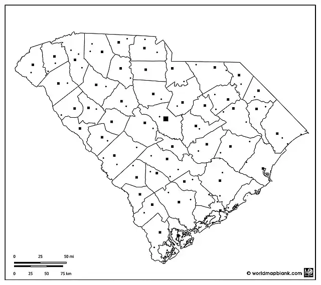
South Carolina is dotted with cities and towns, from the historic grandeur of Charleston and the capital city, Columbia, to the thriving communities of Greenville and Spartanburg. The following map includes markers for these and other cities and towns.
Download as PDF (A4)
Download as PDF (A5)
Download as JPEG
Here are all the names of the cities and towns on the map that are not the state capital or a county seat (which you will find further above):
Andrews, Belton, Blacksburg, Blenheim, Bluffton, Bonneau, Bowman, Branchville, Calhoun Falls, Carlisle, Cheraw, Clearwater, Clemson, Clinton, Clover, Cottageville, Denmark, Dentsville, Estill, Goose Creek, Greeleyville, Hardeeville, Harleyville, Hartsville, Hilton Head Island, Inman, Kershaw, Lamar, Latta, Laurel Bay, Liberty, Lugoff, Lyman, Mount Pleasant, Mullins, Myrtle Beach, Neeses, New Ellenton, Ninety Six, North Charleston, North Myrtle Beach, Pageland, Pamplico, Parris Island, Pineridge, Prosperity, Red Hill, Ridgeway, Rock Hill, Simpsonville, South Sumter, Stuckey, Summerton, Summerville, Taylors, Timmonsville, Travelers Rest, Trenton, Westminster, Williams, Willison.
Other Relevant Maps
We offer free blank maps of all US states and many other labeled or outline maps of countries all around the world. Please find below a list of maps that might be interesting to you in connection with our SC blank maps. You can also use the search feature in the top menu to find other useful maps.
USA Maps
US State Maps
- Blank Map of New York
- Labeled Map of Florida
- Blank Map of California
- Labeled Map of Texas
- Blank Map of Ohio
Country Maps
Continent Maps
- Blank North America Map
- Map of South America with Countries
- Blank Map of South America
- Europe Outline Map
- Blank Map of Asia
With maps created by:
Edelweise Shane Angeles is a skilled GIS Analyst and Cartographer from Davao City, Philippines. Holding a Bachelor's in Geology and Earth Science, he specializes in creating practical, clear maps using tools like Global Mapper, ArcGIS, ArcMap, and Google Earth Pro. Edelweise creates both blank and labelled maps for World Map Blank.


