Blank Map of South America – Outline, Countries, Capitals
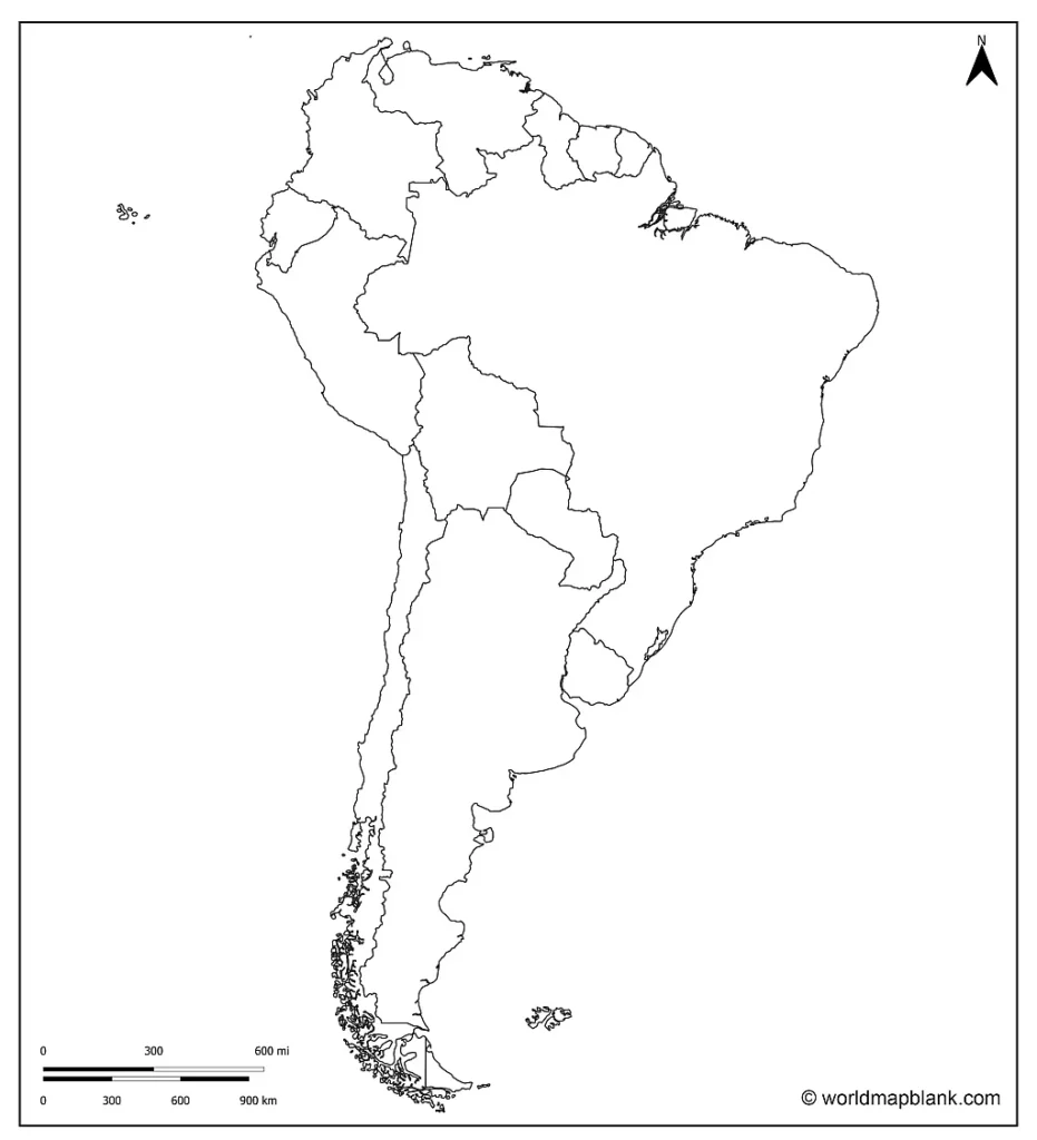
Blank Map of South America with Countries
Download as PDF (A4)
Download as PDF (A5)
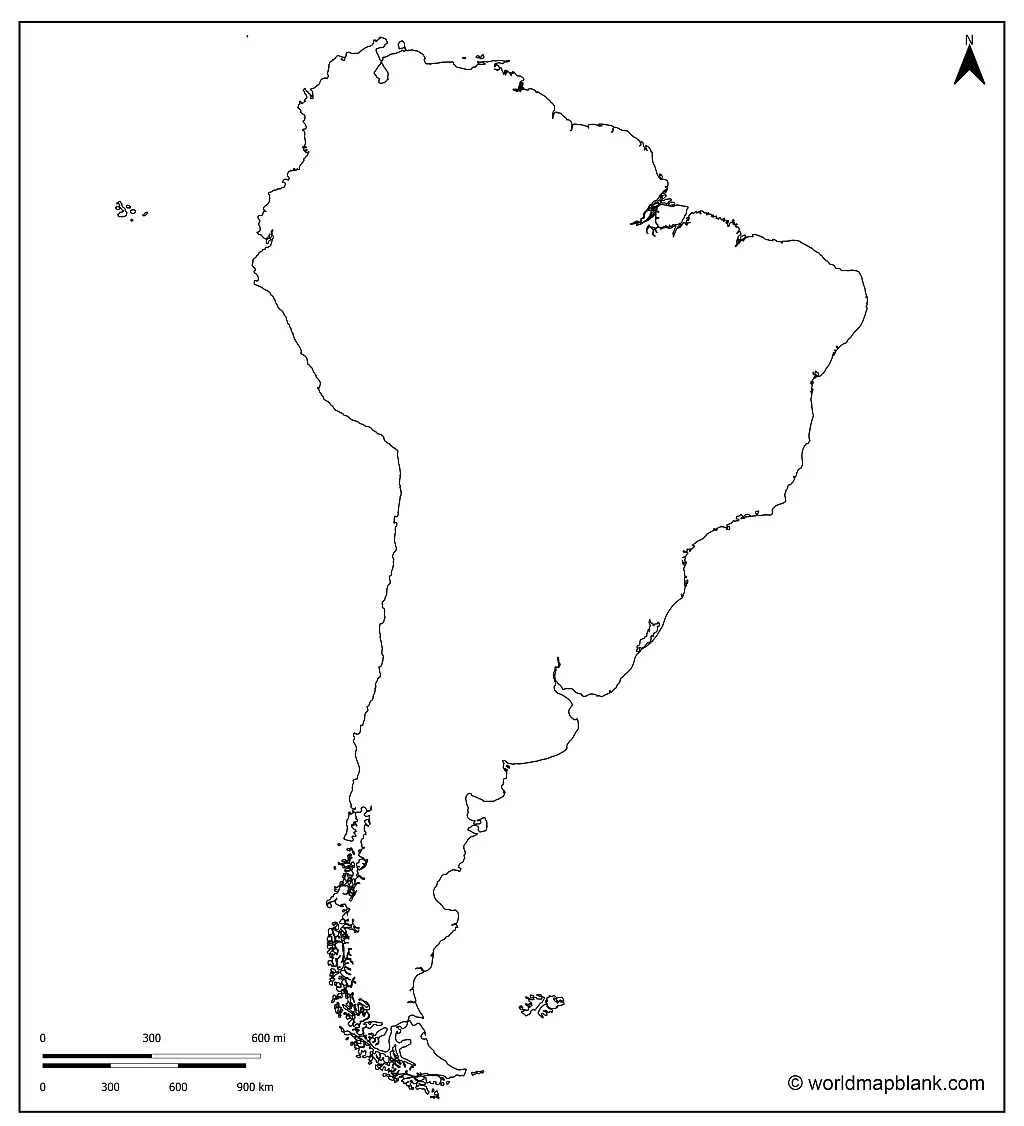
South America Outline Map
Download as PDF (A4)
Download as PDF (A5)
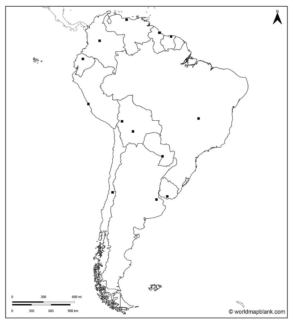
Blank South America Map with Capitals
Download as PDF (A4)
Download as PDF (A5)
What are the Capitals of the Countries of South America?
Here is a list of all the capitals of the South American countries:
- Argentina – Buenos Aires
- Bolivia – La Paz / Sucre
- Brazil – Brasilia
- Chile – Santiago de Chile
- Colombia – Bogotá
- Ecuador – Quito
- French Guiana – Cayenne
- Guyana – Georgetown
- Paraguay – Asunción
- Peru – Lima
- Suriname – Paramaribo
- Uruguay – Montevideo
- Venezuela – Caracas
Printable Outline Map of South America
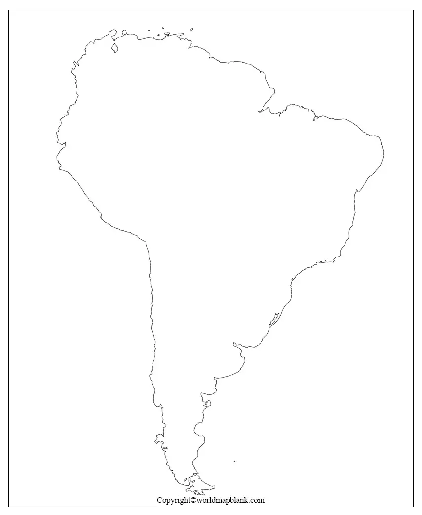
Map of South America Unlabeled
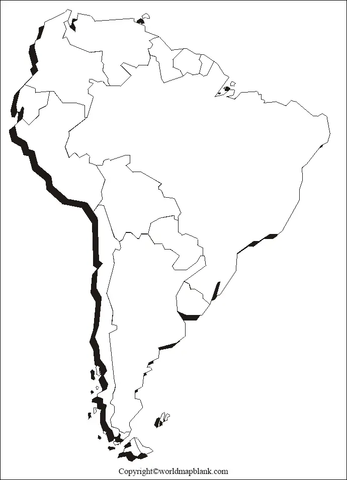
Solid Blank Map of South America
Blank South America Map – Transparent PNG
If you want the following map to be transparent, you need to download the image, not the PDF file.
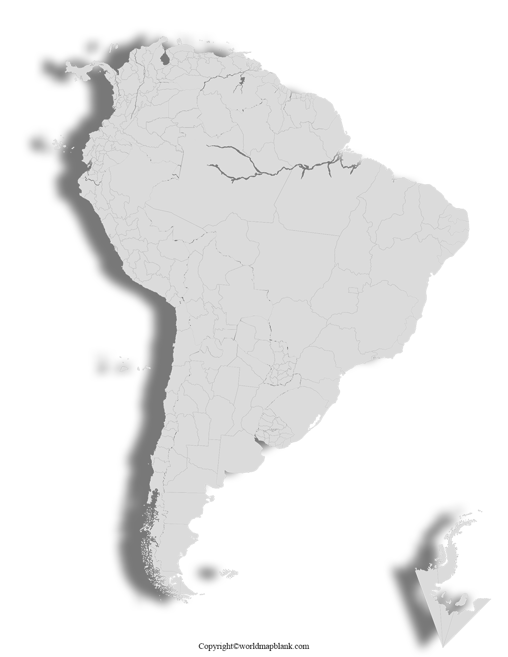
Blank Map of South America for Practice Worksheet
Here is another South America map without labels that can be used for map worksheets. It is slightly less detailed than the similar one further above.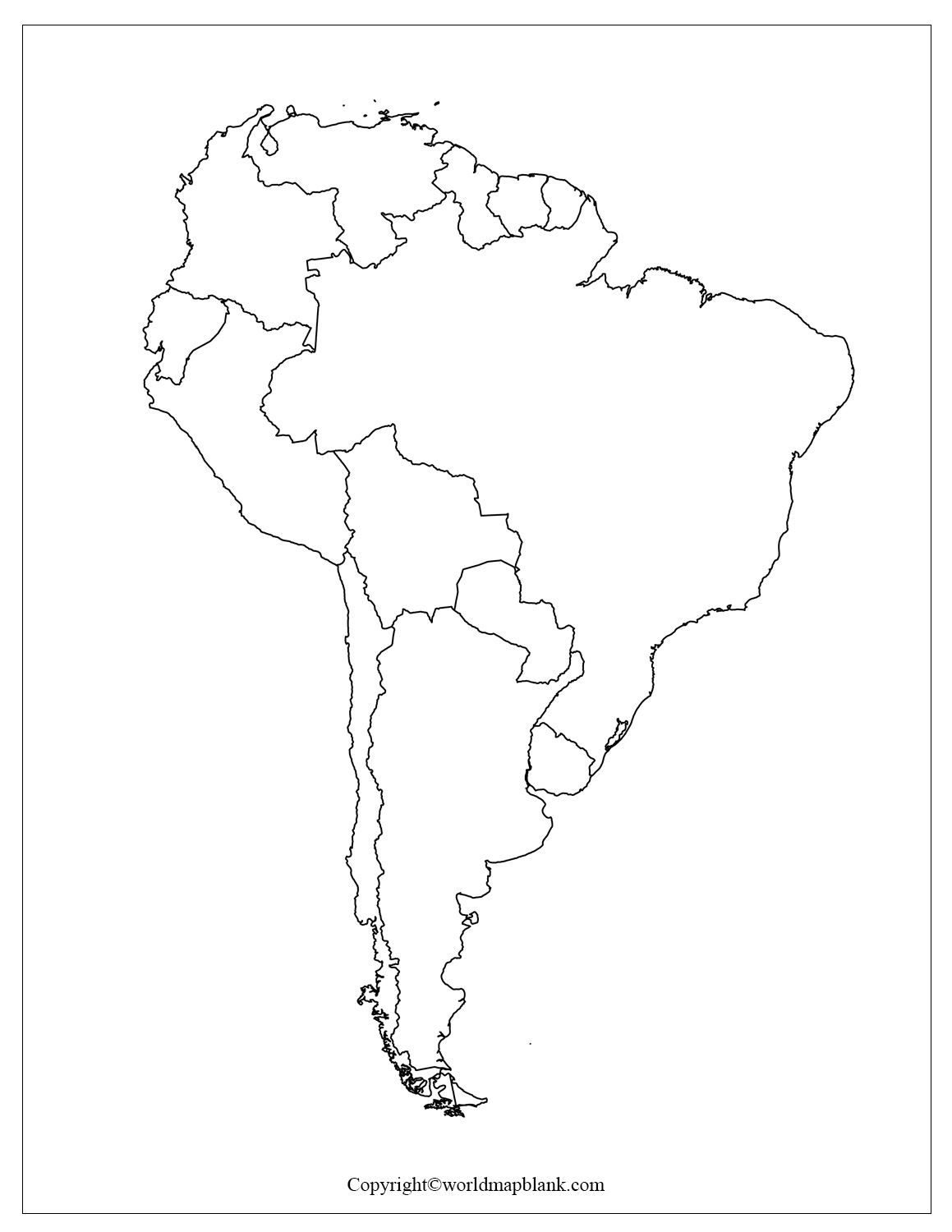
Download as PDF (A4)
Download as PDF (A5)
More Free Maps to Download and Print
Apart from the maps on this page, we offer several versions of a labeled South America map with countries. Additionally, we provide labeled and blank maps of many South American countries, such as Argentina and Brazil. Check them out, too!
Below, you’ll find a collection of links to other blank maps that you might be interested in. They all can be great tools to learn and teach about geography, history, politics, and social studies. You can also download world maps or continent maps, and we also offer timeline maps of the EU. All printable maps on this website are available as PDF files.
Blank Country Maps
- Argentina Blank Map
- Map of Argentina with Provinces
- Blank Map of Brazil
- Uruguay Blank Map
- Blank Map of Bolivia
- Colombia Blank Map
- Blank Map of Venezuela
- Panama Blank Map
- United States Blank Map
- Blank Map of Canada
- UK Map Blank
- Blank Map of France
- Germany Blank Map
- Italy Outline Map
World Maps
- World Map With Continents
- Blank Map of the World
- World Map for Kids
- Political World Map
- World Map with Longitudes and Latitudes
- Physical World Map
- World Map with Oceans
- World Map Poster
Continent Maps
- Labeled Map of Europe
- Blank Map of Europe
- Map of North America with Labels
- Blank Printable Map of North America
- Labeled Map of Asia
- Map of South America with Labels
- Labeled Map of Africa
- Map of Antarctica with Labels
- Labeled Map of Australia
Other Printable Maps
- USA Map with all 50 States
- United States Highways Map
- Map of the Mediterranean
- World Time Zone Map
- Map of the Amazon River Basin
- North America Mountains Map
- Europe Mountains Map

