Printable Blank Map of Sri Lanka – Outline, Transparent Map
Get the Blank Map of Sri Lanka and know all about the geography of this country. To help yourself in drawing the full-fledged map of the country to avail of the decent marks in your exam or just to boost your knowledge. Sri Lanka is basically a South Asian country that is also having the status of an island. It’s primarily part of the Indian Ocean and the Arabian Sea and is known as the Indian subcontinent Nation.
- Printable Map of France
- Blank Map of Armenia
- World map with longitude
- World map with continents
- Blank map of World
- Labeled map of North America
- Labeled map of Asia
- Physical map of World
- Labeled map of South America
- Labeled map of Africa
- Printable Map of Egypt
- Printable Map of Ethiopia
- Labeled map of Europe
- World map poster
- Labeled map of Antarctica
- World map with oceans
- World time zone map
- Printable Map of Azerbaijan
- Labeled Map of World
- Printable Map of Sudan
- Blank map of Asia
- Political Map of World
- Printable Map of Finland
- Printable Map of Fiji
Colombo is the official capital and the largest city of Sri Lanka. Colombo is also recognized as the central part of the Sri Lanka. Sinhala and Tamil are the two prime languages spoken widely in the country. However, the English language is also recognized across the Nation.
Blank Map of Sri Lanka – Outline
If we talk about the demography of Sri Lanka, then we find that country is mainly comprised mainly of Buddhism as the major religion. Hinduism, Islam, and Christianity are the other minor religions of the country, which comprise nearly 30% of the country’s population.
Sri Lanka is having a market economy where the service sector attributes nearly 70% to the country’s GDP. Industrial and the Agricultural are the other sectors. That attributes the rest of the part to GDP as the country exports rubber, coffee, and tea alike products to the international market.
Sri Lanka being the Island nation has over 103 rivers in totality. That’s accounts for the significant region of the country. South Central region of country contains the mountains and all its rivers, further, there are the flatten land region where all of the country’s agricultural activities take place.
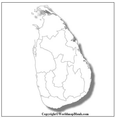
Printable Map of Sri Lanka
Well, if you are going to draw the map of Sri Lanka for the very first time as a beginner, you can use this template. We believe that you should start it with the proper guiding source. Our blank map outline can be this source for you, since it represents the outer structure of country for drawing the full map. As a beginner, you just have to follow this outline to draw the accurate outer structure of Sri Lanka’s map. Then you can label the internal map on your own of its states and cities.
There are some users who seek to learn the quick geography of Sri Lanka, which is very much possible with the printable map of the country. In the printable map of the country you don’t have to make any kind of effort to make it. This map is in usable form since the map is already available in a readily usable form.
With this printable map users can save a significant amount of time and effort for themselves.
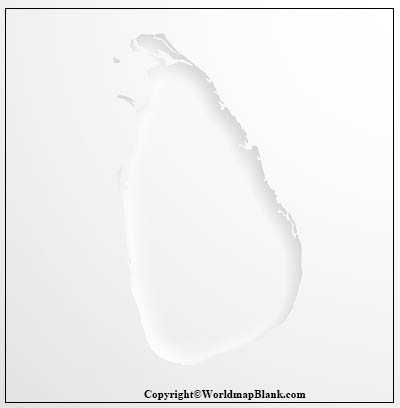
Transparent PNG Sri Lanka Map
The most of the users preferred these maps to know the depth view of Sri Lanka’s geography. With this transparent map, users can have the deep inside out view of the several objects lying in Sri Lanka such as its islands, rivers, political boundaries etc.

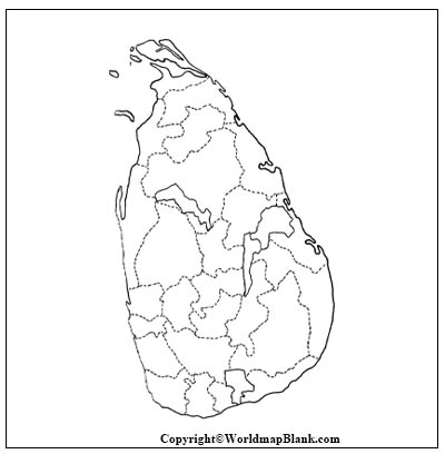
Blank Map of Sri Lanka Practice Worksheet
If you want to enhance your geographical knowledge of Sri Lanka’s geography then you can prefer the practice worksheet for the country.
With this practice worksheet, you can have regular exercises to practice your knowledge. With the help of this map you can assess your level of knowledge and improve it over a period of time.
Related Posts


