Printable Blank Map of Tajikistan – Outline, Transparent, PNG map
If you are studying the geography of Tajikistan then a Blank Tajikistan Map can help you in breaking out the whole geography of this country, in order to make your understanding even broader. Tajikistan is basically an Asian country that is primarily located in the Central part of Asia. It shares its border with Afghanistan, China, Uzbekistan, and the Western part of Kyrgyzstan.
- Printable Map of France
- Blank Map of Armenia
- World map with longitude
- World map with continents
- Blank map of World
- Labeled map of North America
- Labeled map of Asia
- Physical map of World
- Labeled map of South America
- Labeled map of Africa
- Printable Map of Egypt
- Printable Map of Ethiopia
- Labeled map of Europe
- World map poster
- Labeled map of Antarctica
- World map with oceans
- World time zone map
- Printable Map of Azerbaijan
- Labeled Map of World
- Printable Map of Sudan
- Blank map of Asia
- Political Map of World
- Printable Map of Finland
- Printable Map of Fiji
Dushanbe is the official capital city of Tajikistan and Tajik is the official language, which is spoken by most of the ethnic groups in the country. Further, the country has over 10 million population, which is filled primarily with the native people and some minority also belongs to Russian, Afghanis, and Kyrgyzstani regions.
If we put some light on the economic conditions of Tajikistan then the economy of the country is very fragile and is suffering with the deep corruption crisis. Most of the country’s wealth comes from in the form of remittances by those immigrants, who are working in a country such as Russian people.
Tajikistan is the smallest land area region particularly in the Central Asian region and most of its area is highly mountainous in nature. Pamir range is the main and tallest mountain of a country other than that of Amu Darya and Panj are the two major rivers of the country. You can have in the detailed view of Tajikistan’s geography through our printable maps of the country which we are compiling below in this article.
Tajikistan Blank Map Outline
Well, drawing the map of any country is never easy without the proper guidance as a little mistake can deteriorate the complete shape of the country. This is the reason why we always recommend our users to use the blank outlined map of Tajikistan as the guiding tool to draw the accurate map of the country.
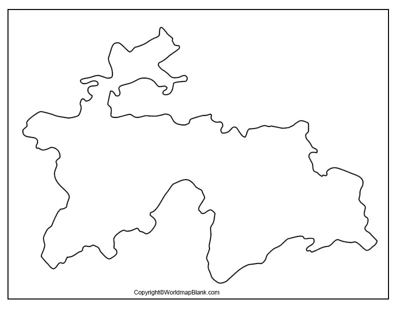
This map can be ideally referred by any user who might have never drawn the map of the country before.
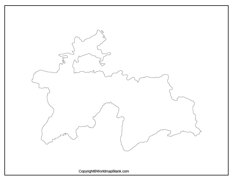
Printable Map of Tajikistan
In the modern age of internet users generally tend to prefer the printable map of Tajikistan, since it requires almost no effort from the user’s end. Further, this map can be ideally used by every kind of user, whether it’s in the educational domain or just in exploring the country.
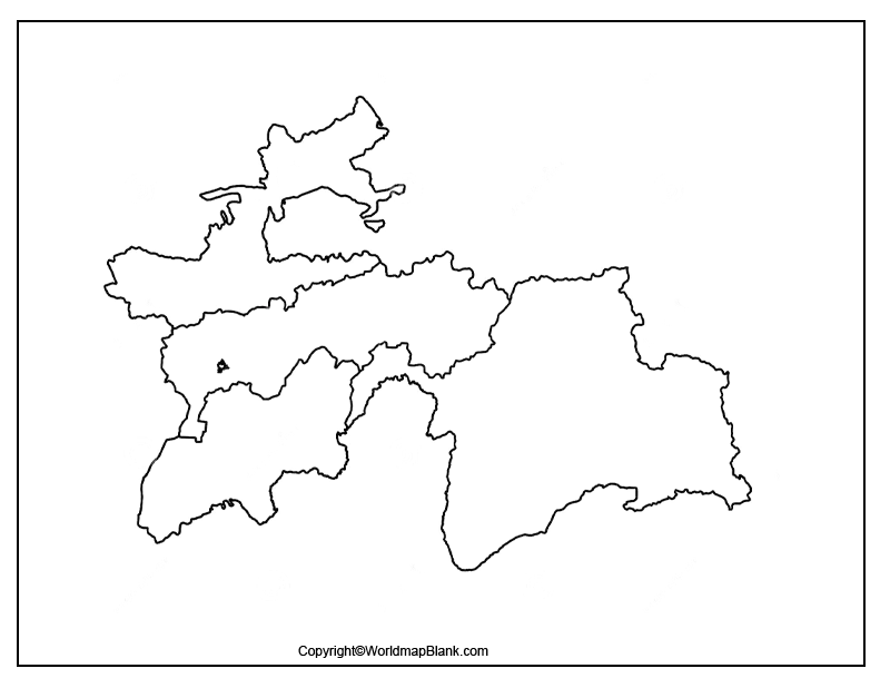
Transparent PNG Tajikistan Map
There are so many varieties of Tajikistan’s maps available in the market but a transparent map is always unique. In the transparent map of Tajikistan, users can look for a detailed view of several objects in the geography of this country.
For instance, if you want to conduct some research on the mountains of Tajikistan, then you can have a transparent map of the country to have in-depth and inside out view of its mountains. In a similar manner, you can look up for other geographical objects of the country as per your requirements.
Map of Tajikistan Practice Worksheet
Kids and other beginner learners of Tajikistan’s geography can now conduct their regular practice to improve their knowledge of Tajikistan’s map by our practice worksheet.
This worksheet has been designed with the integration of some general questions from Tajikistan’s geography, which users can answer on the basis of their knowledge.
Related Posts


