
🌍 Blank Map of Africa
🌍 Blank Map of Africa
✅ Free download – PDF and JPEG, ready to print.
Download a printable blank map of Africa for geography teaching, practice worksheets, classroom exercises, quizzes, travel planning, and more.
Couldn't load pickup availability
Add multiple maps to the cart to download them all at once.
Blank Map of Africa for Practice, Learning, or Projects
Download your free blank map of Africa as a JPEG image and a PDF file. You can also explore our blank continent maps or use a blank map of Asia for more continent map practice.
Blank maps are great for classroom activities, geography quizzes, worksheets, or creative projects like coloring, planning trips, or marking visited countries.
Whether you're looking for a blank map of Africa, a blank political map of Africa, an outline map of Africa, or a blank map of Africa with seas and oceans, this download offers versatile options, optimized for clear printing and educational use.
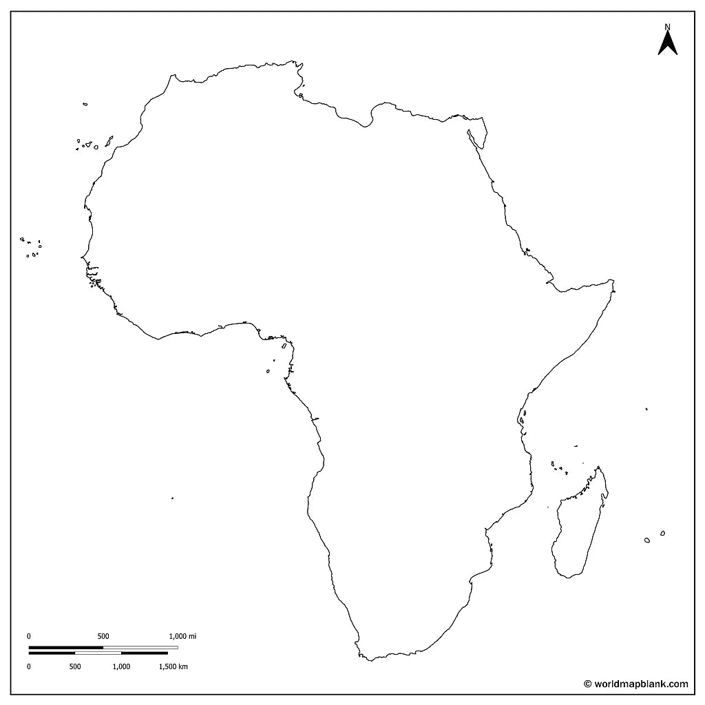
The below image shows a printable blank map of Africa with country borders.

We offer several other versions of a blank map of Africa for free download.
Africa Outline Map and More
Each file is available in high-resolution PDF and JPEG formats, ready for download and immediate use.
Available styles:
Or get your Africa blank maps bundle, including several variations for different learning and reference needs.
- Blank map of Africa
- Outline map of Africa
- Blank map of Africa with seas and oceans
- Blank Africa map with capitals
- Labeled Africa map for reference
The bundle includes PDF and JPEG versions of all maps. The maps with countries and/or capitals include all borders between the African countries and markers for their capital cities.
The blank map with seas and oceans includes the Atlantic Ocean, the Mediterranean, the Red Sea, and the Indian Ocean.
Blank Map of Africa Features
This printable blank map of Africa is designed for easy printing and clear geographic reference, making it ideal for both classroom and personal use.
- High-resolution PDF and JPEG formats (A4 and US Letter)
- Blank and outline versions for flexible use
- Maps with country borders and capital markers
- Versions with seas and oceans for added reference
- Labeled Africa map for reference and study support
How to Get Your Printable Map
- Add all your preferred map(s) to the cart
- Proceed to checkout
- Download your maps instantly
Who It's For
A blank map of Africa is ideal for students, teachers, homeschoolers, and travelers. It works well for labeling exercises, geography worksheets, study projects, and continent map practice.
You can also check out our ready-made and customizable Africa map worksheets and our free labeled map of Africa to complete your collection.
Download your blank map of Africa now and start using it for learning, geography practice, or your own projects.


Download your free map
Enter your email and tell us how you'll use the map. Your download starts immediately.